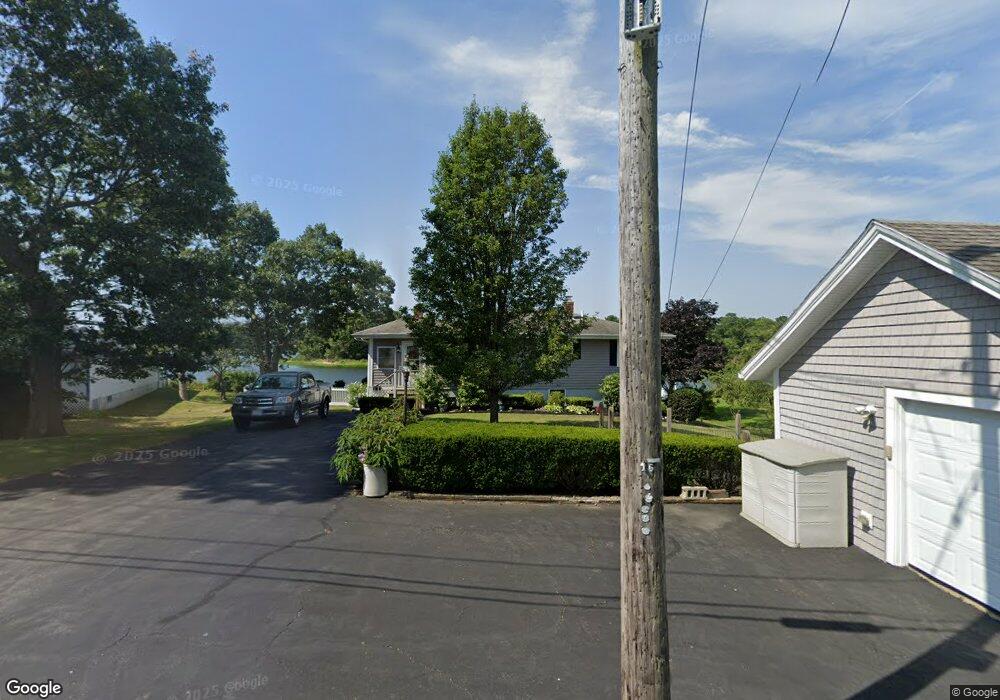
32 Circuit Ave Wareham, MA 02571
Wareham Center NeighborhoodEstimated Value: $494,222 - $628,000
2
Beds
2
Baths
864
Sq Ft
$644/Sq Ft
Est. Value
About This Home
This home is located at 32 Circuit Ave, Wareham, MA 02571 and is currently estimated at $556,556, approximately $644 per square foot. 32 Circuit Ave is a home located in Plymouth County.
Ownership History
Date
Name
Owned For
Owner Type
Purchase Details
Closed on
Nov 29, 2023
Sold by
Whitney Marie E and Demers Alen D
Bought by
Whitney Demers Ft and Whitney
Current Estimated Value
Purchase Details
Closed on
Jan 29, 1993
Sold by
Demers Allen D
Bought by
Whitney Marie E
Home Financials for this Owner
Home Financials are based on the most recent Mortgage that was taken out on this home.
Original Mortgage
$101,250
Interest Rate
8.16%
Mortgage Type
Purchase Money Mortgage
Create a Home Valuation Report for This Property
The Home Valuation Report is an in-depth analysis detailing your home's value as well as a comparison with similar homes in the area
Home Values in the Area
Average Home Value in this Area
Purchase History
| Date | Buyer | Sale Price | Title Company |
|---|---|---|---|
| Whitney Demers Ft | -- | None Available | |
| Whitney Demers Ft | -- | None Available | |
| Whitney Marie E | $112,500 | -- |
Source: Public Records
Mortgage History
| Date | Status | Borrower | Loan Amount |
|---|---|---|---|
| Previous Owner | Whitney Marie E | $100,000 | |
| Previous Owner | Whitney Marie E | $90,400 | |
| Previous Owner | Whitney Marie E | $101,250 |
Source: Public Records
Tax History
| Year | Tax Paid | Tax Assessment Tax Assessment Total Assessment is a certain percentage of the fair market value that is determined by local assessors to be the total taxable value of land and additions on the property. | Land | Improvement |
|---|---|---|---|---|
| 2025 | $5,058 | $485,400 | $243,000 | $242,400 |
| 2024 | $4,644 | $413,500 | $180,900 | $232,600 |
| 2023 | $4,385 | $372,500 | $164,400 | $208,100 |
| 2022 | $4,385 | $332,700 | $164,400 | $168,300 |
| 2021 | $4,377 | $325,400 | $164,400 | $161,000 |
| 2020 | $4,152 | $313,100 | $164,400 | $148,700 |
| 2019 | $4,189 | $315,200 | $175,300 | $139,900 |
| 2018 | $4,070 | $298,600 | $175,300 | $123,300 |
| 2017 | $3,905 | $290,300 | $175,300 | $115,000 |
| 2016 | $3,675 | $271,600 | $171,400 | $100,200 |
| 2015 | $3,550 | $271,600 | $171,400 | $100,200 |
| 2014 | $3,362 | $261,600 | $162,800 | $98,800 |
Source: Public Records
Map
Nearby Homes
- 15 Broadmarsh Ave
- 1 Nimrod Way
- 6 Allen Ave
- 20 Grant St
- 43 Shore Ave
- 21 Bayview St
- 10 Oak St
- 10 Barnes St
- 10 Longmeadow Dr
- 6 Bourne Terrace
- 12 Oakdale St
- 58 Shady Ln
- 233 Marion Rd
- 437 Main St
- 110 Mayflower Ridge Dr
- 9 Woodville Way
- 0 Cromesett Rd (Off) Unit 73385395
- 15 14th Ave
- 2645 Cranberry Hwy Unit A
- 4 Roosevelt St
- 38 Circuit Ave
- 30 Circuit Ave
- 33 Circuit Ave
- 33 Circuit Ave Unit 1
- 31 Circuit Ave
- 28 Circuit Ave
- 35 Circuit Ave
- 29 Circuit Ave
- 40 Circuit Ave
- 27 Circuit Ave
- 53 Circuit Ave
- 25 Circuit Ave
- 24 Circuit Ave
- 42 Circuit Ave
- 51 Circuit Ave
- 39 Circuit Ave
- 39 Circuit Ave
- 39 Circuit Ave Unit 39
- 76 Circuit Ave
- 61 Circuit Ave
Your Personal Tour Guide
Ask me questions while you tour the home.