Estimated Value: $243,000 - $266,126
2
Beds
1
Bath
1,320
Sq Ft
$193/Sq Ft
Est. Value
About This Home
This home is located at 32 Davenport Branch Rd, Rowe, MA 01367 and is currently estimated at $254,563, approximately $192 per square foot. 32 Davenport Branch Rd is a home located in Franklin County with nearby schools including Rowe Elementary School and Mohawk Trail Regional High School.
Ownership History
Date
Name
Owned For
Owner Type
Purchase Details
Closed on
Apr 30, 2021
Sold by
Thane Joseph E
Bought by
Coastline Prop Renovatns
Current Estimated Value
Purchase Details
Closed on
Mar 13, 2012
Sold by
Thane David A and Thane Phyllis E
Bought by
Thane Joseph E
Purchase Details
Closed on
Aug 18, 2009
Sold by
Thane Phyllis E and Thane Phyllis G
Bought by
Thane Phyllis E and Thane David A
Purchase Details
Closed on
Sep 3, 2003
Sold by
Oliver Kathleen G
Bought by
Crossin James J and Crossin Victoria M
Create a Home Valuation Report for This Property
The Home Valuation Report is an in-depth analysis detailing your home's value as well as a comparison with similar homes in the area
Home Values in the Area
Average Home Value in this Area
Purchase History
| Date | Buyer | Sale Price | Title Company |
|---|---|---|---|
| Coastline Prop Renovatns | $200,000 | None Available | |
| Thane Joseph E | -- | -- | |
| Thane Joseph E | -- | -- | |
| Thane Phyllis E | -- | -- | |
| Thane Phyllis E | -- | -- | |
| Thane Phyllis E | -- | -- | |
| Crossin James J | $20,000 | -- | |
| Crossin James J | $20,000 | -- |
Source: Public Records
Tax History Compared to Growth
Tax History
| Year | Tax Paid | Tax Assessment Tax Assessment Total Assessment is a certain percentage of the fair market value that is determined by local assessors to be the total taxable value of land and additions on the property. | Land | Improvement |
|---|---|---|---|---|
| 2025 | $6 | $120,700 | $106,800 | $13,900 |
| 2024 | $944 | $188,500 | $101,800 | $86,700 |
| 2023 | $677 | $130,600 | $96,500 | $34,100 |
| 2022 | $1,087 | $203,900 | $93,000 | $110,900 |
| 2021 | $967 | $181,500 | $93,000 | $88,500 |
| 2020 | $967 | $181,500 | $93,000 | $88,500 |
| 2019 | $888 | $177,300 | $91,300 | $86,000 |
| 2018 | $1,216 | $177,300 | $91,300 | $86,000 |
| 2017 | $1,059 | $171,100 | $81,500 | $89,600 |
| 2016 | $1,032 | $171,100 | $81,500 | $89,600 |
| 2015 | $986 | $166,900 | $81,500 | $85,400 |
| 2014 | $1,004 | $165,400 | $68,700 | $96,700 |
Source: Public Records
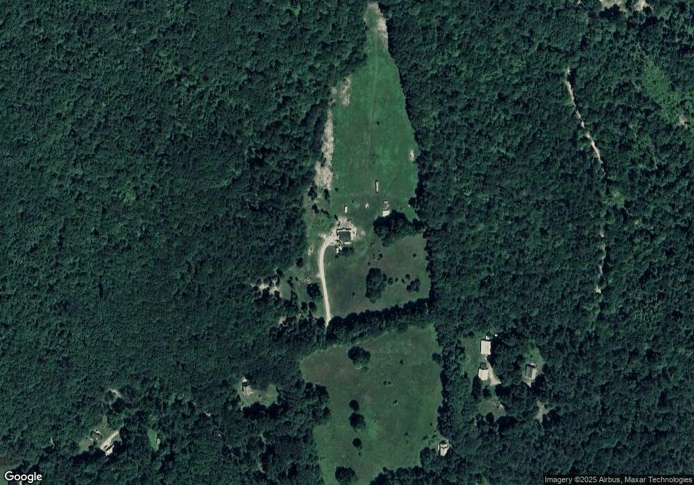
Map
Nearby Homes
- Lot 121 Davis Mine Rd
- 14 South Rd
- 127 County Rd
- 201 Ford Hill Rd
- 0 Potters Rd Unit 248445
- 0 Potters Rd Unit 73439831
- 60 Stone Hill Rd
- 594 Massachusetts 8a
- 6 Chippewa Dr
- 139 Taylor Brook Rd
- 0 Schaefer Way
- 559 Tea St
- 766 Tea St
- 174 Main St
- 32 Navaho Ln
- 2153 Massachusetts 2
- 0 Warfield Rd
- 0 E Hawley Rd Unit 73456358
- 0 W Hawley Rd
- 0 River Rd Unit 5030963
- 88 Davis Mine Rd
- 37 Davenport Branch Rd
- 76 Davis Mine Rd
- 41 Davenport Rd
- 123 Davis Mine Rd
- 0 Davis Mine Rd
- 0 Davenport Rd
- 80 Davenport Rd
- 63 Davenport Rd
- 2 Dell Rd
- 122 Davenport Rd
- 1406 Sherman Dr
- 21 Rowe Rd
- 0 Off Rowe Rd Unit 30418614
- 327 Warner Hill Rd
- 43 Sherman Dr
- 27 Sherman Dr
- 37 Sherman Dr
- 73 Rowe Rd