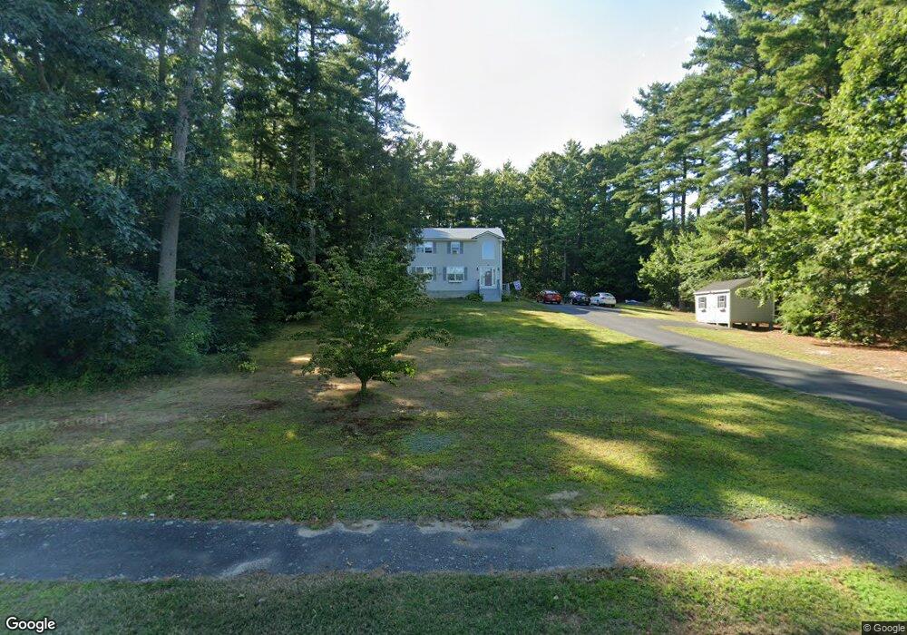
32 Dunham Rd Assonet, MA 02702
Estimated Value: $504,000 - $656,000
3
Beds
2
Baths
1,792
Sq Ft
$329/Sq Ft
Est. Value
About This Home
This home is located at 32 Dunham Rd, Assonet, MA 02702 and is currently estimated at $588,999, approximately $328 per square foot. 32 Dunham Rd is a home located in Bristol County with nearby schools including Freetown Elementary School, George R Austin Intermediate School, and Freetown-Lakeville Middle School.
Ownership History
Date
Name
Owned For
Owner Type
Purchase Details
Closed on
Jul 17, 2001
Sold by
Rahilly Glen J and Rahilly Debra S
Bought by
Brooks James M and Brooks Tracy A
Current Estimated Value
Home Financials for this Owner
Home Financials are based on the most recent Mortgage that was taken out on this home.
Original Mortgage
$224,721
Interest Rate
7.2%
Mortgage Type
Purchase Money Mortgage
Purchase Details
Closed on
Aug 19, 1998
Sold by
Prenda Scott B and Prenda Dawn M
Bought by
Rahilly Glen J and Rahilly Debra S
Purchase Details
Closed on
Sep 12, 1994
Sold by
Viana Homes Constr Inc
Bought by
Prenda Scott B and Prenda Dawn M
Create a Home Valuation Report for This Property
The Home Valuation Report is an in-depth analysis detailing your home's value as well as a comparison with similar homes in the area
Home Values in the Area
Average Home Value in this Area
Purchase History
| Date | Buyer | Sale Price | Title Company |
|---|---|---|---|
| Brooks James M | $246,000 | -- | |
| Rahilly Glen J | $168,000 | -- | |
| Prenda Scott B | $156,568 | -- |
Source: Public Records
Mortgage History
| Date | Status | Borrower | Loan Amount |
|---|---|---|---|
| Open | Prenda Scott B | $234,825 | |
| Closed | Prenda Scott B | $227,411 | |
| Closed | Prenda Scott B | $223,000 | |
| Closed | Prenda Scott B | $224,721 |
Source: Public Records
Tax History Compared to Growth
Tax History
| Year | Tax Paid | Tax Assessment Tax Assessment Total Assessment is a certain percentage of the fair market value that is determined by local assessors to be the total taxable value of land and additions on the property. | Land | Improvement |
|---|---|---|---|---|
| 2025 | $4,921 | $496,600 | $196,700 | $299,900 |
| 2024 | $4,925 | $472,200 | $185,500 | $286,700 |
| 2023 | $4,772 | $445,600 | $167,100 | $278,500 |
| 2022 | $4,547 | $377,000 | $141,600 | $235,400 |
| 2021 | $5,916 | $345,800 | $128,700 | $217,100 |
| 2020 | $4,372 | $335,800 | $123,800 | $212,000 |
| 2019 | $5,503 | $322,100 | $123,500 | $198,600 |
| 2018 | $5,335 | $303,400 | $123,500 | $179,900 |
| 2017 | $3,957 | $297,100 | $123,500 | $173,600 |
| 2016 | $3,784 | $289,100 | $120,000 | $169,100 |
| 2015 | $3,642 | $282,300 | $114,500 | $167,800 |
| 2014 | $3,580 | $283,900 | $117,500 | $166,400 |
Source: Public Records
Map
Nearby Homes
- 95 Howland Rd
- 36 Mill St
- 7 Great Cedar Crossing
- 6 Weetamoe Dr
- 15 Slab Bridge Rd
- 20 Slab Bridge Rd
- 1 Elaine Cir
- 15 Leonard Ave
- Lot 2 Sherwood Ln
- Lot 1 Sherwood Ln
- 10 Dean St
- 20 Grove St
- 10 Mill St
- 5 Nottingham Way
- 1 Elm St
- 57 County St
- 15 N Main St
- 195 Slab Bridge Rd
- 90 Howland Rd
- 5 Hadley Heights Way