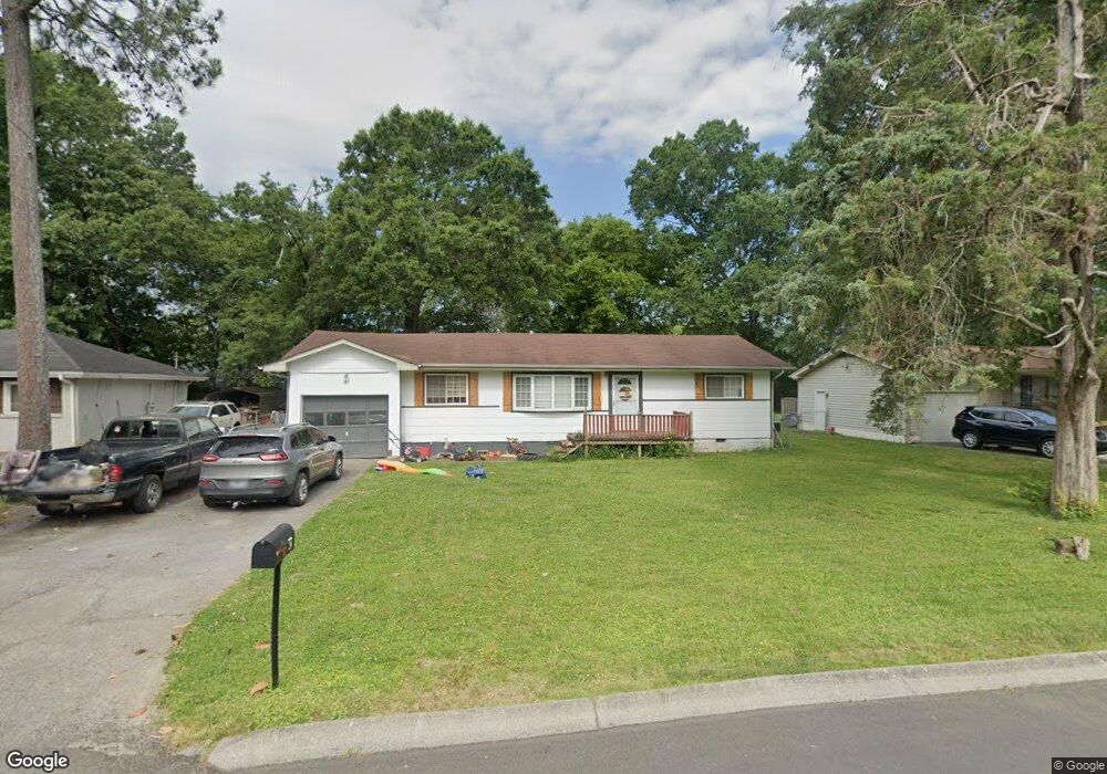
32 Elaine Cir Fort Oglethorpe, GA 30742
Estimated Value: $201,000 - $237,000
2
Beds
2
Baths
1,460
Sq Ft
$150/Sq Ft
Est. Value
About This Home
This home is located at 32 Elaine Cir, Fort Oglethorpe, GA 30742 and is currently estimated at $218,632, approximately $149 per square foot. 32 Elaine Cir is a home located in Catoosa County with nearby schools including Battlefield Primary School, Battlefield Elementary School, and Lakeview Middle School.
Ownership History
Date
Name
Owned For
Owner Type
Purchase Details
Closed on
Jun 18, 2021
Sold by
Messler Jeremiah B
Bought by
Martin Chandler Blair
Current Estimated Value
Purchase Details
Closed on
Oct 27, 2020
Sold by
Goins Gregory L Estate
Bought by
Anderton M B and 32 Elaine Tr
Purchase Details
Closed on
Jul 23, 1992
Bought by
Goins Gregory L
Create a Home Valuation Report for This Property
The Home Valuation Report is an in-depth analysis detailing your home's value as well as a comparison with similar homes in the area
Home Values in the Area
Average Home Value in this Area
Purchase History
| Date | Buyer | Sale Price | Title Company |
|---|---|---|---|
| Martin Chandler Blair | $109,000 | -- | |
| Messler Jeremiah B | -- | -- | |
| Anderton M B | -- | -- | |
| Goins Gregory L | $51,400 | -- |
Source: Public Records
Tax History Compared to Growth
Tax History
| Year | Tax Paid | Tax Assessment Tax Assessment Total Assessment is a certain percentage of the fair market value that is determined by local assessors to be the total taxable value of land and additions on the property. | Land | Improvement |
|---|---|---|---|---|
| 2024 | $2,037 | $77,427 | $7,603 | $69,824 |
| 2023 | $1,550 | $58,899 | $7,603 | $51,296 |
| 2022 | $1,225 | $44,851 | $7,603 | $37,248 |
| 2021 | $1,194 | $44,851 | $7,603 | $37,248 |
| 2020 | $1,153 | $39,050 | $7,603 | $31,447 |
| 2019 | $1,054 | $39,050 | $7,603 | $31,447 |
| 2018 | $1,023 | $32,628 | $6,758 | $25,870 |
| 2017 | $907 | $32,625 | $6,758 | $25,867 |
| 2016 | $880 | $30,522 | $6,758 | $23,764 |
| 2015 | -- | $30,522 | $6,758 | $23,764 |
| 2014 | -- | $30,522 | $6,758 | $23,764 |
| 2013 | -- | $30,522 | $6,758 | $23,763 |
Source: Public Records
Map
Nearby Homes
- 84 Elaine Cir
- 99 Battlewood Dr
- 59 Gattis Dr
- 52 S Glade Rd
- 64 Stovall St
- 15 Walker Ave
- 204 Harker Rd
- 104 Shelby St
- 38 Phillips Dr
- 8 Roberts Dr
- 218 Robert e Lee St
- 8 Phillips Dr
- 6 Talley Cir
- 39 Rock Haven Ln
- 1305 Park Forrest Dr
- 7 Barnhardt Cir
- 0 Battlefield Pkwy Unit 129870
- 144 Ridgelake Cir
- 6 Rocky Ford Rd
- 85 Inlet Isle Dr