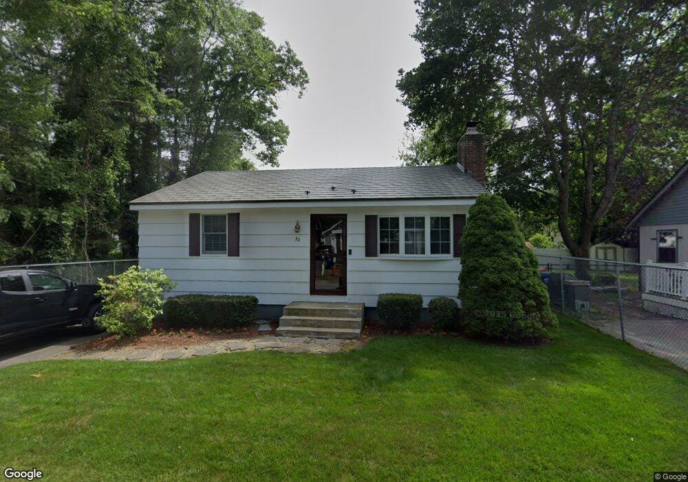
32 Fearing St Buzzards Bay, MA 02532
Estimated Value: $343,000 - $439,000
2
Beds
1
Bath
720
Sq Ft
$551/Sq Ft
Est. Value
About This Home
This home is located at 32 Fearing St, Buzzards Bay, MA 02532 and is currently estimated at $396,368, approximately $550 per square foot. 32 Fearing St is a home.
Ownership History
Date
Name
Owned For
Owner Type
Purchase Details
Closed on
Aug 31, 1999
Sold by
Ledoux Paul F and Ledoux Malinda
Bought by
Barnie John W and Barnie James W
Current Estimated Value
Purchase Details
Closed on
Dec 15, 1995
Sold by
Dossantos Manuel
Bought by
Ledoux Paul F and Ledoux Malinda
Purchase Details
Closed on
Dec 30, 1994
Sold by
Grigalis Frank A and Grigalis Winifred
Bought by
Dossantos Manuel
Create a Home Valuation Report for This Property
The Home Valuation Report is an in-depth analysis detailing your home's value as well as a comparison with similar homes in the area
Home Values in the Area
Average Home Value in this Area
Purchase History
| Date | Buyer | Sale Price | Title Company |
|---|---|---|---|
| Barnie John W | $84,000 | -- | |
| Barnie John W | $84,000 | -- | |
| Ledoux Paul F | $77,050 | -- | |
| Ledoux Paul F | $77,050 | -- | |
| Dossantos Manuel | $73,000 | -- |
Source: Public Records
Mortgage History
| Date | Status | Borrower | Loan Amount |
|---|---|---|---|
| Open | Dossantos Manuel | $35,000 | |
| Open | Dossantos Manuel | $90,000 |
Source: Public Records
Tax History Compared to Growth
Tax History
| Year | Tax Paid | Tax Assessment Tax Assessment Total Assessment is a certain percentage of the fair market value that is determined by local assessors to be the total taxable value of land and additions on the property. | Land | Improvement |
|---|---|---|---|---|
| 2025 | $3,665 | $333,800 | $115,300 | $218,500 |
| 2024 | $3,761 | $322,000 | $88,300 | $233,700 |
| 2023 | $3,229 | $285,900 | $80,300 | $205,600 |
| 2022 | $3,229 | $237,100 | $80,300 | $156,800 |
| 2021 | $3,013 | $215,200 | $80,300 | $134,900 |
| 2020 | $2,832 | $206,600 | $80,300 | $126,300 |
| 2019 | $2,503 | $184,600 | $72,600 | $112,000 |
| 2018 | $2,467 | $175,700 | $72,600 | $103,100 |
| 2017 | $2,308 | $165,100 | $72,600 | $92,500 |
| 2016 | $2,095 | $148,700 | $68,800 | $79,900 |
| 2015 | $2,037 | $148,700 | $68,800 | $79,900 |
| 2014 | $1,999 | $150,400 | $68,800 | $81,600 |
Source: Public Records
Map
Nearby Homes
- 18 Martin St
- 3132 Cranberry Hwy Unit 59
- 69 Bay Pointe Drive Extension Unit 69
- 13 Bay Pointe Drive Extension Unit 13
- 45 Bay Pointe Drive Extension Unit 45
- 37 Bay Pointe Drive Extension Unit 37
- 3 Fairway Dr Unit F
- 1 Pine Tree Dr
- 22 Long Neck Rd
- 14 Buttonwood Ln
- 56 Rip Van Winkle Way
- 23 Pine Ridge Rd
- 3 Wolf Rd
- 11 Thompson Rd Unit 11A
- 11 Thompson Rd Unit A
- 110 Packard St
- 27 Baker Ln Unit 27H
- 6 Unit 74
- 13 Hideaway Village Unit G
- 9 Hideaway Rd Unit F