32 Highland Pointe Rd Thornton, NH 03285
Estimated Value: $485,000 - $588,000
2
Beds
2
Baths
1,490
Sq Ft
$349/Sq Ft
Est. Value
About This Home
This home is located at 32 Highland Pointe Rd, Thornton, NH 03285 and is currently estimated at $519,760, approximately $348 per square foot. 32 Highland Pointe Rd is a home located in Grafton County with nearby schools including Thornton Central School and Plymouth Regional High School.
Ownership History
Date
Name
Owned For
Owner Type
Purchase Details
Closed on
May 6, 2009
Sold by
Highland Pointe Llc
Bought by
Lazzaro Lisette D and Swartz Corey W
Current Estimated Value
Home Financials for this Owner
Home Financials are based on the most recent Mortgage that was taken out on this home.
Original Mortgage
$144,000
Interest Rate
4.9%
Mortgage Type
Purchase Money Mortgage
Create a Home Valuation Report for This Property
The Home Valuation Report is an in-depth analysis detailing your home's value as well as a comparison with similar homes in the area
Home Values in the Area
Average Home Value in this Area
Purchase History
| Date | Buyer | Sale Price | Title Company |
|---|---|---|---|
| Lazzaro Lisette D | $180,000 | -- |
Source: Public Records
Mortgage History
| Date | Status | Borrower | Loan Amount |
|---|---|---|---|
| Open | Lazzaro Lisette D | $131,000 | |
| Closed | Lazzaro Lisette D | $144,000 |
Source: Public Records
Tax History Compared to Growth
Tax History
| Year | Tax Paid | Tax Assessment Tax Assessment Total Assessment is a certain percentage of the fair market value that is determined by local assessors to be the total taxable value of land and additions on the property. | Land | Improvement |
|---|---|---|---|---|
| 2024 | $5,393 | $474,300 | $179,600 | $294,700 |
| 2023 | $4,378 | $210,900 | $82,500 | $128,400 |
| 2022 | $4,220 | $210,900 | $82,500 | $128,400 |
| 2021 | $4,380 | $210,900 | $82,500 | $128,400 |
| 2020 | $4,241 | $210,900 | $82,500 | $128,400 |
| 2019 | $3,940 | $210,900 | $82,500 | $128,400 |
| 2018 | $4,573 | $223,300 | $101,900 | $121,400 |
| 2017 | $4,363 | $223,300 | $101,900 | $121,400 |
| 2016 | $4,330 | $223,300 | $101,900 | $121,400 |
| 2015 | $4,265 | $223,300 | $101,900 | $121,400 |
| 2014 | $4,196 | $223,300 | $101,900 | $121,400 |
| 2013 | $4,143 | $225,900 | $92,300 | $133,600 |
Source: Public Records
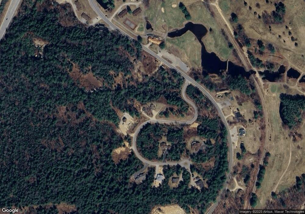
Map
Nearby Homes
- 20 Jack O'Lantern Dr Unit 27
- 15 Tennis Ln Unit B14
- 2832 New Hampshire Route 175
- 2832 Nh Route 175
- 20 Condo Rd Unit 3
- 3481 Us Route 3
- 3447 US Route 3
- 3-42 Barron Rd
- 13 Champions Way
- 93 Waterthorn Rd
- 1033 Daniel Webster Hwy
- 30 Tuxette Rd
- 0 Avery- McGee Rd Unit 6
- 22 Compass Point Rd
- Lot 2 Covered Bridge Rd
- 151 Millbrook Rd
- 189 Covered Bridge Rd
- 21 Melina's Way
- 443 Eastside Rd
- 6 Melinas Way
- 14 Highland Pointe Dr
- 0 Highland Pointe Dr
- 5 Highland Pointe Dr
- L14 Highland Pointe Dr Unit 14
- 6 Lot 6 Highland Pointe
- 9 Highland Pointe Rd
- 8 Highland Pointe Rd
- Lot 3 Highland Pointe
- 3 Highland Pointe Dr
- 67 Highland Pointe Rd
- 10 Hillside Ln
- 10-12 Hillside Ln
- 84 Highland Pointe Rd
- 1668 Daniel Webster Hwy Unit various
- 1656 Daniel Webster Hwy
- 1668 Daniel Webster Hwy
- 10 Hillside Ln
- Lot 7 Fariway Dr
- 3682 Us Route 3
- 58 Highland Pointe Rd