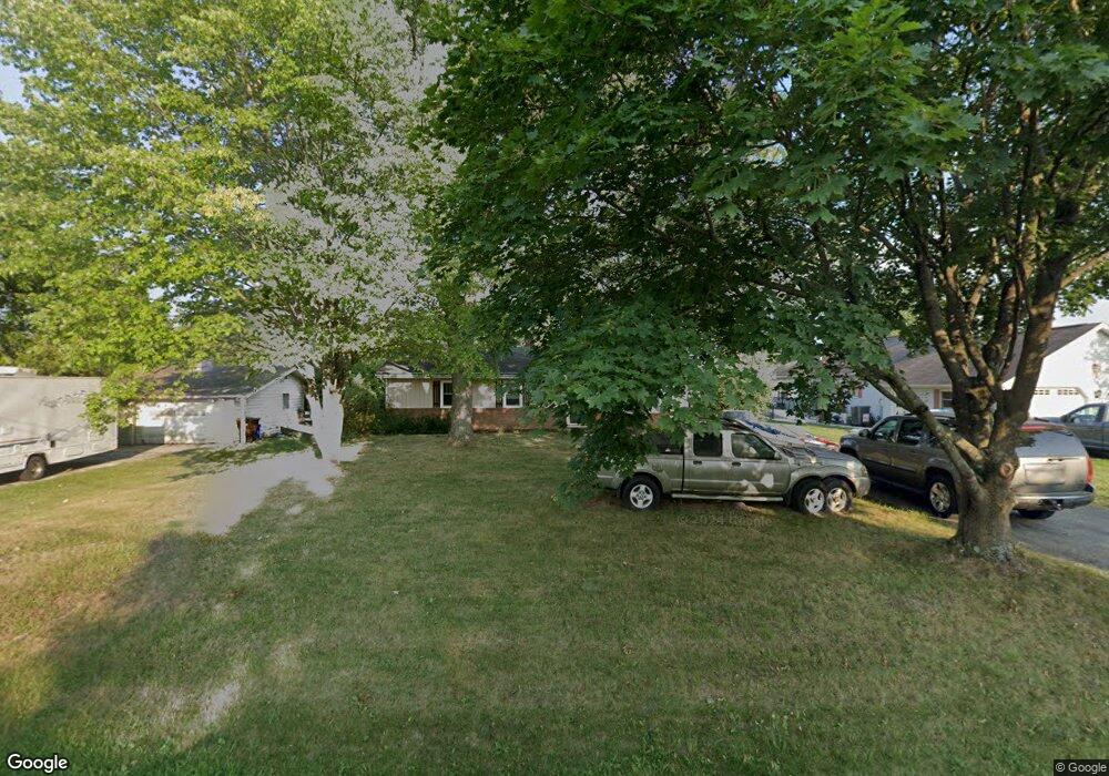
32 Jackson Rd Unit 32 Gettysburg, PA 17325
Estimated Value: $314,578 - $400,000
3
Beds
2
Baths
1,613
Sq Ft
$220/Sq Ft
Est. Value
About This Home
This home is located at 32 Jackson Rd Unit 32, Gettysburg, PA 17325 and is currently estimated at $354,645, approximately $219 per square foot. 32 Jackson Rd Unit 32 is a home located in Adams County with nearby schools including Gettysburg Area High School and Childrens Montessori School of Gettysburg.
Ownership History
Date
Name
Owned For
Owner Type
Purchase Details
Closed on
Dec 2, 2010
Sold by
Wells Fargo Bank Na
Bought by
Whelan Daniel M
Current Estimated Value
Home Financials for this Owner
Home Financials are based on the most recent Mortgage that was taken out on this home.
Original Mortgage
$108,675
Interest Rate
4.88%
Mortgage Type
New Conventional
Purchase Details
Closed on
Jan 22, 2010
Sold by
Defayette Carmella A
Bought by
Wells Fargo Bank Na
Purchase Details
Closed on
Dec 9, 2005
Sold by
Bentz Michael Jason and Bentz Debra Lee
Bought by
Defayette Carmella A
Home Financials for this Owner
Home Financials are based on the most recent Mortgage that was taken out on this home.
Original Mortgage
$136,000
Interest Rate
6.17%
Mortgage Type
New Conventional
Create a Home Valuation Report for This Property
The Home Valuation Report is an in-depth analysis detailing your home's value as well as a comparison with similar homes in the area
Home Values in the Area
Average Home Value in this Area
Purchase History
| Date | Buyer | Sale Price | Title Company |
|---|---|---|---|
| Whelan Daniel M | $105,000 | -- | |
| Wells Fargo Bank Na | $7,390 | -- | |
| Defayette Carmella A | $170,000 | -- |
Source: Public Records
Mortgage History
| Date | Status | Borrower | Loan Amount |
|---|---|---|---|
| Previous Owner | Whelan Daniel M | $108,675 | |
| Previous Owner | Defayette Carmella A | $136,000 |
Source: Public Records
Tax History
| Year | Tax Paid | Tax Assessment Tax Assessment Total Assessment is a certain percentage of the fair market value that is determined by local assessors to be the total taxable value of land and additions on the property. | Land | Improvement |
|---|---|---|---|---|
| 2025 | $3,436 | $208,100 | $84,400 | $123,700 |
| 2024 | $3,267 | $208,100 | $84,400 | $123,700 |
| 2023 | $3,267 | $208,100 | $84,400 | $123,700 |
| 2022 | $3,235 | $208,100 | $84,400 | $123,700 |
| 2021 | $3,042 | $198,100 | $84,400 | $113,700 |
| 2020 | $3,295 | $198,100 | $84,400 | $113,700 |
| 2019 | $3,224 | $198,100 | $84,400 | $113,700 |
| 2018 | $3,002 | $198,100 | $84,400 | $113,700 |
| 2017 | $2,897 | $198,100 | $84,400 | $113,700 |
| 2016 | -- | $198,100 | $84,400 | $113,700 |
| 2015 | -- | $198,100 | $84,400 | $113,700 |
| 2014 | -- | $198,100 | $84,400 | $113,700 |
Source: Public Records
Map
Nearby Homes
- 171 Longstreet Dr Unit 171
- 243 Forrest Dr Unit 243
- 742 Harrison Dr
- 871 Sherman Dr Unit 871
- 857 Hancock Dr Unit 857
- 279 Longstreet Dr Unit 279
- 151 Clapsaddle Rd
- 2160 Hanover Rd Unit 20
- 1685 LOT #3 Baltimore Pike
- 65 W Crest View Ln
- 395 Quiet Creek Dr
- 703 York Rd
- 533 Hillcrest Place
- 124 Wheatland Dr Unit 22
- 460 Baltimore St
- 504 Baltimore St
- 9 Wheatland Dr
- 804 Highland Ave
- 422 S Washington St
- 83 Hunterstown Rd
- 31 Jackson Rd Unit 31
- 33 Jackson Rd Unit 33
- 34 Jackson Rd Unit 34
- 29 Jackson Rd Unit 29
- 51 Heritage Dr Unit 51
- 52 Heritage Dr Unit 52
- 50 Heritage Dr Unit 50
- 35 Jackson Rd Unit 35
- 53 Heritage Dr Unit 53
- 49 Heritage Dr Unit 49
- 21 Jackson Rd Unit 21
- 54 Heritage Dr Unit 54
- 19 Jackson Rd Unit 19
- 48 Heritage Dr Unit 48
- 23 Jackson Rd Unit 23
- 18 Jackson Rd Unit 18
- 55 Heritage Dr Unit 55
- 28 Stuart Dr Unit 28
- 47 Heritage Dr Unit 47
- 37 Jackson Rd Unit 32
Your Personal Tour Guide
Ask me questions while you tour the home.