32 Jericho Rd Weston, MA 02493
Estimated Value: $728,285 - $825,000
2
Beds
2
Baths
1,359
Sq Ft
$571/Sq Ft
Est. Value
About This Home
This home is located at 32 Jericho Rd, Weston, MA 02493 and is currently estimated at $775,321, approximately $570 per square foot. 32 Jericho Rd is a home located in Middlesex County with nearby schools including Country Elementary School, Woodland Elementary School, and Field Elementary School.
Ownership History
Date
Name
Owned For
Owner Type
Purchase Details
Closed on
Apr 16, 2024
Sold by
Labb Nancy B Est and Labb
Bought by
Nancy B Labb Ret and Labb
Current Estimated Value
Purchase Details
Closed on
Sep 1, 2011
Sold by
Stonegate At Weston Co
Bought by
Labb Paul and Labb Nancy
Purchase Details
Closed on
Oct 18, 2004
Sold by
Weston Prtnrs Rt and Kemeny
Bought by
Labb Nancy and Labb Paul
Home Financials for this Owner
Home Financials are based on the most recent Mortgage that was taken out on this home.
Original Mortgage
$410,000
Interest Rate
5.8%
Mortgage Type
Purchase Money Mortgage
Create a Home Valuation Report for This Property
The Home Valuation Report is an in-depth analysis detailing your home's value as well as a comparison with similar homes in the area
Home Values in the Area
Average Home Value in this Area
Purchase History
| Date | Buyer | Sale Price | Title Company |
|---|---|---|---|
| Nancy B Labb Ret | -- | None Available | |
| Nancy B Labb Ret | -- | None Available | |
| Labb Paul | -- | -- | |
| Labb Paul | -- | -- | |
| Labb Nancy | $520,000 | -- | |
| Labb Nancy | $520,000 | -- |
Source: Public Records
Mortgage History
| Date | Status | Borrower | Loan Amount |
|---|---|---|---|
| Previous Owner | Labb Nancy | $410,000 |
Source: Public Records
Tax History
| Year | Tax Paid | Tax Assessment Tax Assessment Total Assessment is a certain percentage of the fair market value that is determined by local assessors to be the total taxable value of land and additions on the property. | Land | Improvement |
|---|---|---|---|---|
| 2025 | $6,644 | $598,600 | $0 | $598,600 |
| 2024 | $6,603 | $593,800 | $0 | $593,800 |
| 2023 | $6,519 | $550,600 | $0 | $550,600 |
| 2022 | $6,993 | $545,900 | $0 | $545,900 |
| 2021 | $7,086 | $545,900 | $0 | $545,900 |
| 2020 | $7,004 | $545,900 | $0 | $545,900 |
| 2019 | $6,499 | $516,200 | $0 | $516,200 |
| 2018 | $6,318 | $505,000 | $0 | $505,000 |
| 2017 | $5,554 | $447,900 | $0 | $447,900 |
| 2016 | $5,319 | $437,400 | $0 | $437,400 |
| 2015 | $4,960 | $403,900 | $0 | $403,900 |
Source: Public Records
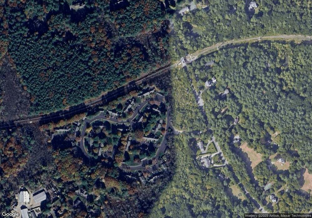
Map
Nearby Homes
- 19 Jericho Rd
- 741 Boston Post Rd
- 1 Pine Summit Cir
- 16 Livermore Ln
- 16 Livermore Ln Unit 16
- 81 Montvale Rd
- 133 Wellesley St
- 823 Boston Post Rd
- 131 Wellesley St
- 173 Conant Rd
- 135 Wellesley St
- 180 Ash St
- 226 Ash St
- 180 Highland St
- 9 Sanderson Ln
- 8 Hidden Rd
- 156 Cherry Brook Rd
- 21 Westerly Rd
- 63 Sudbury Rd
- 9 Atlas Ln
- 38 Jericho Rd
- 34 Jericho Rd
- 34 Jericho Rd Unit 34
- 36 Jericho Rd Unit D
- 36 Jericho Rd Unit C
- 36 Jericho Rd Unit B
- 36 Jericho Rd Unit A
- 36 Jericho Rd Unit 36B
- 36 Jericho Rd Unit 36 A
- 102 Jericho Rd
- 100 Jericho Rd
- 98 Jericho Rd
- 96 Jericho Rd
- 98 Jericho Rd Unit 98
- 100 Jericho Rd Unit 100
- 102 Jericho Rd Unit 102
- 45 Jericho Rd
- 43 Jericho Rd
- 41 Jericho Rd
- 39 Jericho Rd
Your Personal Tour Guide
Ask me questions while you tour the home.