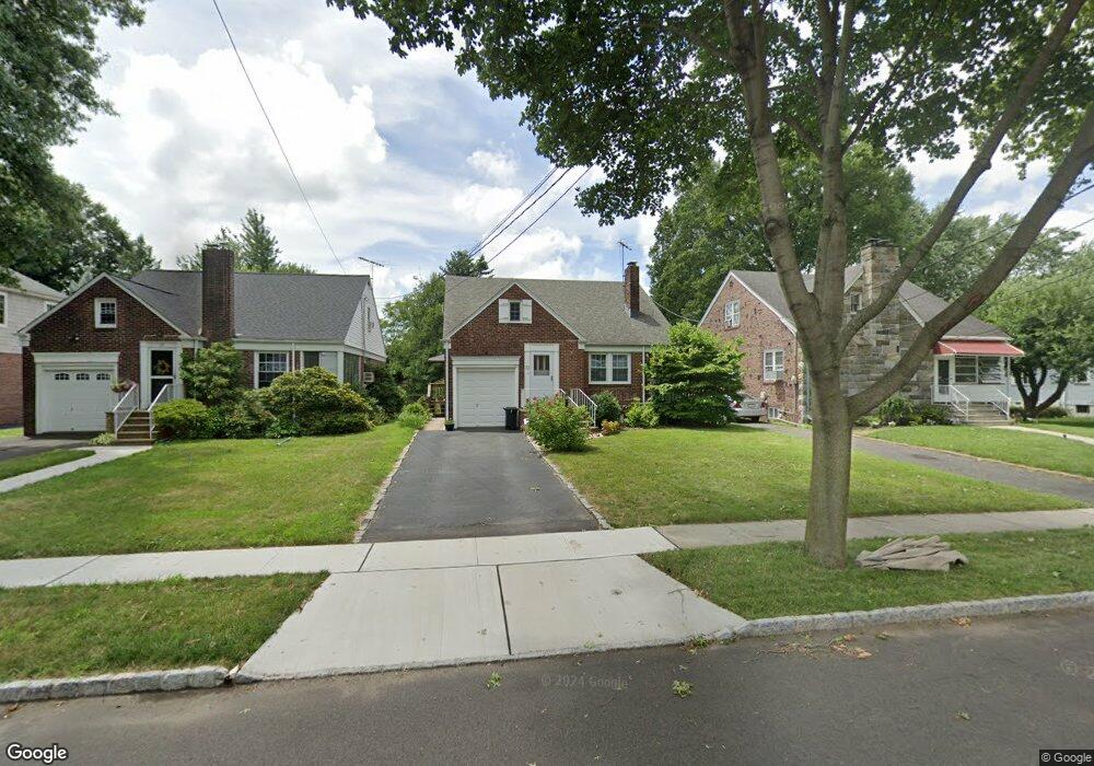
32 John St Cranford, NJ 07016
Estimated Value: $658,004 - $865,000
Studio
--
Bath
--
Sq Ft
7,275
Sq Ft
About This Home
This home is located at 32 John St, Cranford, NJ 07016 and is currently estimated at $733,501. 32 John St is a home located in Union County with nearby schools including Cranford Sr High School and St Michael School.
Ownership History
Date
Name
Owned For
Owner Type
Purchase Details
Closed on
Apr 3, 1998
Sold by
Kraus Scott M and Kraus Lois J
Bought by
Vanpelt Stephen G and Vanpelt Tammy J
Current Estimated Value
Home Financials for this Owner
Home Financials are based on the most recent Mortgage that was taken out on this home.
Original Mortgage
$135,000
Outstanding Balance
$28,800
Interest Rate
8.5%
Estimated Equity
$704,701
Create a Home Valuation Report for This Property
The Home Valuation Report is an in-depth analysis detailing your home's value as well as a comparison with similar homes in the area
Home Values in the Area
Average Home Value in this Area
Purchase History
| Date | Buyer | Sale Price | Title Company |
|---|---|---|---|
| Vanpelt Stephen G | $215,000 | First American |
Source: Public Records
Mortgage History
| Date | Status | Borrower | Loan Amount |
|---|---|---|---|
| Open | Vanpelt Stephen G | $135,000 |
Source: Public Records
Tax History
| Year | Tax Paid | Tax Assessment Tax Assessment Total Assessment is a certain percentage of the fair market value that is determined by local assessors to be the total taxable value of land and additions on the property. | Land | Improvement |
|---|---|---|---|---|
| 2025 | $11,680 | $172,300 | $78,800 | $93,500 |
| 2024 | $11,487 | $172,300 | $78,800 | $93,500 |
| 2023 | $11,487 | $172,300 | $78,800 | $93,500 |
| 2022 | $11,392 | $172,300 | $78,800 | $93,500 |
| 2021 | $11,343 | $172,300 | $78,800 | $93,500 |
| 2020 | $11,306 | $172,300 | $78,800 | $93,500 |
| 2019 | $11,234 | $172,300 | $78,800 | $93,500 |
| 2018 | $11,031 | $172,300 | $78,800 | $93,500 |
| 2017 | $10,652 | $172,300 | $78,800 | $93,500 |
| 2016 | $10,264 | $172,300 | $78,800 | $93,500 |
| 2015 | $9,995 | $172,300 | $78,800 | $93,500 |
| 2014 | $9,790 | $172,300 | $78,800 | $93,500 |
Source: Public Records
Map
Nearby Homes
- 10 Madison Ave
- 4 Sylvester St
- 18 Springfield Ave Unit 3A
- 506 Lincoln Park E Unit 506
- 201 Maple Place
- 103 High St
- 109 High St
- 515 Beechwood Ave
- 34 Columbia Ave
- 511 Westfield Ave W
- 620 Prosper Ave
- 113 Columbia Ave
- 501 Centennial Ave
- 602 Maplewood Ave
- 206 Amsterdam Ave
- 28 Hampton Rd
- 635 Bloomingdale Ave
- 411 Hory St
- 19 Berkeley Place
- 215 Floral St
Your Personal Tour Guide
Ask me questions while you tour the home.