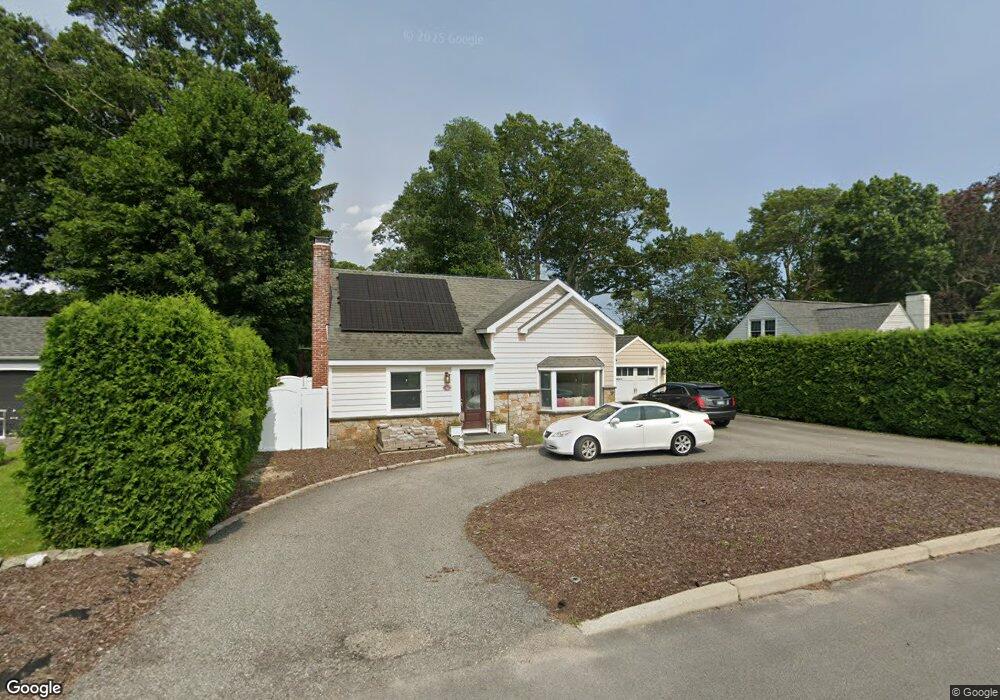
32 Kearsarge Dr Cranston, RI 02920
Meshanticut NeighborhoodEstimated Value: $535,000 - $598,001
3
Beds
2
Baths
2,396
Sq Ft
$240/Sq Ft
Est. Value
About This Home
This home is located at 32 Kearsarge Dr, Cranston, RI 02920 and is currently estimated at $574,500, approximately $239 per square foot. 32 Kearsarge Dr is a home located in Providence County with nearby schools including Woodridge Elementary School, Western Hills Middle School, and Cranston High School West.
Ownership History
Date
Name
Owned For
Owner Type
Purchase Details
Closed on
Aug 30, 2005
Sold by
Smith Matthew B
Bought by
Ditroia Edmund and Ditroia Tracy
Current Estimated Value
Home Financials for this Owner
Home Financials are based on the most recent Mortgage that was taken out on this home.
Original Mortgage
$347,700
Outstanding Balance
$182,886
Interest Rate
5.68%
Mortgage Type
Purchase Money Mortgage
Estimated Equity
$391,614
Purchase Details
Closed on
Apr 22, 1997
Sold by
Palleschi Donald R and Palleschi Jessica
Bought by
Smith Matthew B
Home Financials for this Owner
Home Financials are based on the most recent Mortgage that was taken out on this home.
Original Mortgage
$124,400
Interest Rate
7.76%
Purchase Details
Closed on
Jun 21, 1991
Sold by
Est Bromson Burton N
Bought by
Palleschi Donald R
Home Financials for this Owner
Home Financials are based on the most recent Mortgage that was taken out on this home.
Original Mortgage
$70,000
Interest Rate
9.37%
Create a Home Valuation Report for This Property
The Home Valuation Report is an in-depth analysis detailing your home's value as well as a comparison with similar homes in the area
Home Values in the Area
Average Home Value in this Area
Purchase History
| Date | Buyer | Sale Price | Title Company |
|---|---|---|---|
| Ditroia Edmund | $366,000 | -- | |
| Smith Matthew B | $155,000 | -- | |
| Palleschi Donald R | $127,500 | -- |
Source: Public Records
Mortgage History
| Date | Status | Borrower | Loan Amount |
|---|---|---|---|
| Open | Palleschi Donald R | $25,000 | |
| Open | Palleschi Donald R | $347,700 | |
| Previous Owner | Palleschi Donald R | $124,400 | |
| Previous Owner | Palleschi Donald R | $70,000 |
Source: Public Records
Tax History
| Year | Tax Paid | Tax Assessment Tax Assessment Total Assessment is a certain percentage of the fair market value that is determined by local assessors to be the total taxable value of land and additions on the property. | Land | Improvement |
|---|---|---|---|---|
| 2025 | $7,540 | $543,200 | $142,600 | $400,600 |
| 2024 | $7,393 | $543,200 | $142,600 | $400,600 |
| 2023 | $6,900 | $365,100 | $102,000 | $263,100 |
| 2022 | $6,758 | $365,100 | $102,000 | $263,100 |
| 2021 | $6,572 | $365,100 | $102,000 | $263,100 |
| 2020 | $6,260 | $301,400 | $105,600 | $195,800 |
| 2019 | $6,260 | $301,400 | $105,600 | $195,800 |
| 2018 | $6,115 | $301,400 | $105,600 | $195,800 |
| 2017 | $6,029 | $262,800 | $98,400 | $164,400 |
| 2016 | $5,900 | $262,800 | $98,400 | $164,400 |
| 2015 | $5,900 | $262,800 | $98,400 | $164,400 |
| 2014 | $6,155 | $269,500 | $105,600 | $163,900 |
Source: Public Records
Map
Nearby Homes
- 370 Budlong Rd
- 0 Rutland St
- 141 Glen Ridge Rd
- 47 Bretton Woods Dr
- 321 Budlong Rd
- 80 W View Ave
- 38 Baldino Dr
- 54 Salem Ave
- 19 Salem Ave
- 135 Meshanticut Valley Pkwy
- 99 Salem Ave
- 210 Hyde St
- 214 Meshanticut Valley Pkwy
- 29 Poppy Dr
- 57 Delway Rd
- 129 Vallette St
- 275 Meshanticut Valley Pkwy
- 111 Belgium St
- 84 Intervale Rd
- 85 Summit Dr
- 26 Kearsarge Dr
- 40 Kearsarge Dr
- 228 Deerfield Rd
- 214 Deerfield Rd
- 20 Kearsarge Dr
- 206 Woodstock Ln
- 27 Kearsarge Dr
- 35 Kearsarge Dr
- 21 Kearsarge Dr
- 236 Deerfield Rd
- 190 Woodstock Ln
- 206 Deerfield Rd
- 217 Deerfield Rd
- 15 Kearsarge Dr
- 225 Deerfield Rd
- 50 Franconia Dr
- 42 Franconia Dr
- 233 Deerfield Rd
- 244 Deerfield Rd
- 182 Woodstock Ln
Your Personal Tour Guide
Ask me questions while you tour the home.