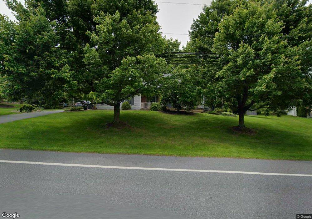
32 Krocks Rd Allentown, PA 18104
Upper Macungie Township NeighborhoodEstimated Value: $479,000 - $599,000
3
Beds
3
Baths
1,974
Sq Ft
$264/Sq Ft
Est. Value
About This Home
This home is located at 32 Krocks Rd, Allentown, PA 18104 and is currently estimated at $521,972, approximately $264 per square foot. 32 Krocks Rd is a home located in Lehigh County with nearby schools including Highland Elementary School, Tussing Elementary School, and Cetronia Elementary School.
Ownership History
Date
Name
Owned For
Owner Type
Purchase Details
Closed on
Aug 11, 1995
Sold by
Kapoor Anil K and Sarita Sahay
Bought by
Dipasquale Darin and Dipasquale Wendy
Current Estimated Value
Purchase Details
Closed on
Nov 3, 1993
Sold by
Cmc Development Corporation
Bought by
Kapour Anil K and Sarita Sahay
Purchase Details
Closed on
Mar 11, 1993
Sold by
Lehigh Valley Land Association Inc
Bought by
Cmc Development Corporation
Purchase Details
Closed on
Jun 29, 1988
Bought by
Lehigh Valley Land Association Inc
Create a Home Valuation Report for This Property
The Home Valuation Report is an in-depth analysis detailing your home's value as well as a comparison with similar homes in the area
Home Values in the Area
Average Home Value in this Area
Purchase History
| Date | Buyer | Sale Price | Title Company |
|---|---|---|---|
| Dipasquale Darin | $165,000 | -- | |
| Kapour Anil K | $168,200 | -- | |
| Cmc Development Corporation | $1,184,000 | -- | |
| Lehigh Valley Land Association Inc | $1,522,500 | -- |
Source: Public Records
Tax History Compared to Growth
Tax History
| Year | Tax Paid | Tax Assessment Tax Assessment Total Assessment is a certain percentage of the fair market value that is determined by local assessors to be the total taxable value of land and additions on the property. | Land | Improvement |
|---|---|---|---|---|
| 2025 | $5,830 | $269,400 | $48,900 | $220,500 |
| 2024 | $5,609 | $269,400 | $48,900 | $220,500 |
| 2023 | $5,474 | $269,400 | $48,900 | $220,500 |
| 2022 | $5,450 | $269,400 | $220,500 | $48,900 |
| 2021 | $5,450 | $269,400 | $48,900 | $220,500 |
| 2020 | $5,450 | $269,400 | $48,900 | $220,500 |
| 2019 | $5,334 | $269,400 | $48,900 | $220,500 |
| 2018 | $5,229 | $269,400 | $48,900 | $220,500 |
| 2017 | $5,154 | $269,400 | $48,900 | $220,500 |
| 2016 | -- | $269,400 | $48,900 | $220,500 |
| 2015 | -- | $269,400 | $48,900 | $220,500 |
| 2014 | -- | $269,400 | $48,900 | $220,500 |
Source: Public Records
Map
Nearby Homes
- 5137 Schantz Rd Unit The Jackson
- The Kennedy Plan at The Reserve at Surrey Court
- The Jefferson - Front Entry Plan at The Reserve at Surrey Court
- 5137 Schantz Rd Unit The Kennedy
- 5137 Schantz Rd Unit The Roosevelt
- The Jackson - Front Entry Plan at The Reserve at Surrey Court
- 5137 Schantz Rd Unit The Madison
- The Monroe Plan at The Reserve at Surrey Court
- 5137 Schantz Rd Unit The Monroe
- The Roosevelt - Front Entry Plan at The Reserve at Surrey Court
- The Madison Plan at The Reserve at Surrey Court
- 5137 Schantz Rd Unit The Jefferson
- 241 Snapdragon Way
- 5821 Daniel St
- 5926 Holiday Dr
- 365 Pennycress Rd
- 247 Milkweed Dr
- 270 Milkweed Dr
- 6126 Palomino Dr
- 4488 Bellflower Way
- 5521 Holiday Dr
- 5554 Merry Ln
- 5517 Holiday Dr
- 5525 Holiday Dr
- 5550 Merry Ln
- 5421 Holiday Dr
- 31 Krocks Rd
- 5502 Merry Ln
- 5529 Holiday Dr
- 5526 Holiday Dr
- 5506 Merry Ln
- 5518 Holiday Dr
- 29 Krocks Rd
- 5542 Merry Ln
- 5417 Holiday Dr
- 5522 Holiday Dr
- 5510 Merry Ln
- 5506 Schantz Rd
- 5416 Schantz Rd
- 103 Wildflower Dr