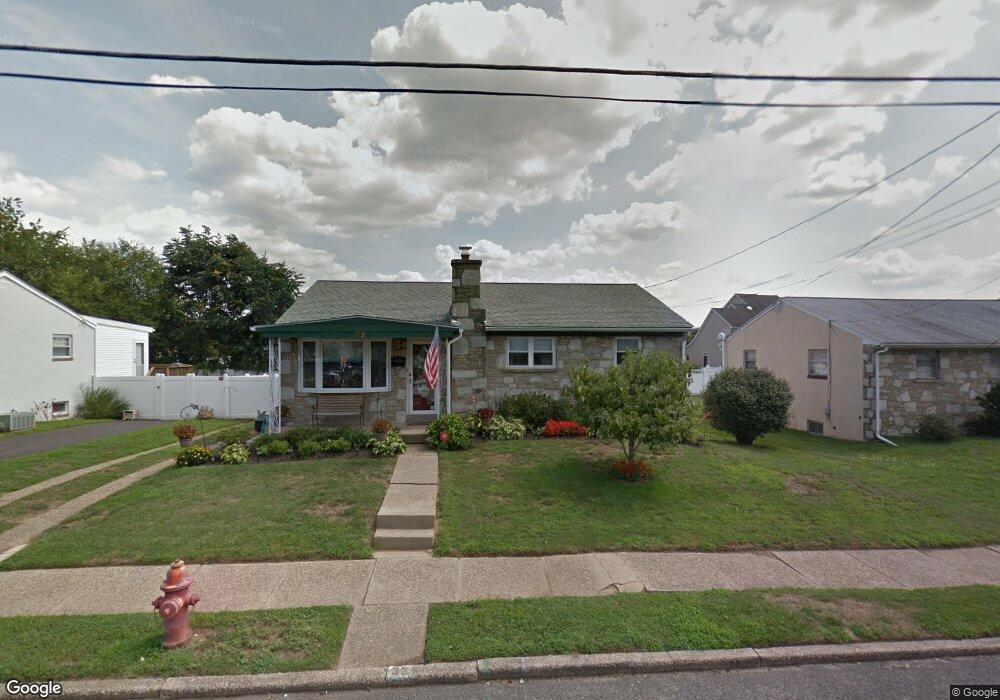
32 Lanci Rd Maple Shade, NJ 08052
Estimated Value: $271,000 - $315,000
--
Bed
--
Bath
1,064
Sq Ft
$277/Sq Ft
Est. Value
About This Home
This home is located at 32 Lanci Rd, Maple Shade, NJ 08052 and is currently estimated at $295,020, approximately $277 per square foot. 32 Lanci Rd is a home located in Burlington County with nearby schools including Ralph J Steinhauer Elementary School, Maude M. Wilkins Elementary School, and Howard R Yocum School.
Ownership History
Date
Name
Owned For
Owner Type
Purchase Details
Closed on
Oct 20, 2006
Sold by
Juliano Jeffrey and Kelley Juliano Corinne T
Bought by
Furth Regina E
Current Estimated Value
Home Financials for this Owner
Home Financials are based on the most recent Mortgage that was taken out on this home.
Original Mortgage
$20,300
Interest Rate
6.11%
Mortgage Type
Unknown
Purchase Details
Closed on
May 3, 2001
Sold by
Smith Lucienne
Bought by
Juliano Jeffrey
Home Financials for this Owner
Home Financials are based on the most recent Mortgage that was taken out on this home.
Original Mortgage
$83,200
Interest Rate
7.05%
Create a Home Valuation Report for This Property
The Home Valuation Report is an in-depth analysis detailing your home's value as well as a comparison with similar homes in the area
Home Values in the Area
Average Home Value in this Area
Purchase History
| Date | Buyer | Sale Price | Title Company |
|---|---|---|---|
| Furth Regina E | $203,000 | None Available | |
| Juliano Jeffrey | $104,000 | Surety Title Corporation |
Source: Public Records
Mortgage History
| Date | Status | Borrower | Loan Amount |
|---|---|---|---|
| Closed | Furth Regina E | $20,300 | |
| Open | Furth Regina E | $162,400 | |
| Previous Owner | Juliano Jeffrey | $83,200 |
Source: Public Records
Tax History Compared to Growth
Tax History
| Year | Tax Paid | Tax Assessment Tax Assessment Total Assessment is a certain percentage of the fair market value that is determined by local assessors to be the total taxable value of land and additions on the property. | Land | Improvement |
|---|---|---|---|---|
| 2025 | $5,470 | $144,100 | $48,600 | $95,500 |
| 2024 | $5,312 | $144,100 | $48,600 | $95,500 |
| 2023 | $5,312 | $144,100 | $48,600 | $95,500 |
| 2022 | $5,229 | $144,100 | $48,600 | $95,500 |
| 2021 | $4,706 | $144,100 | $48,600 | $95,500 |
| 2020 | $5,193 | $144,100 | $48,600 | $95,500 |
| 2019 | $5,003 | $144,100 | $48,600 | $95,500 |
| 2018 | $4,917 | $144,100 | $48,600 | $95,500 |
| 2017 | $4,859 | $144,100 | $48,600 | $95,500 |
| 2016 | $4,787 | $144,100 | $48,600 | $95,500 |
| 2015 | $4,683 | $144,100 | $48,600 | $95,500 |
| 2014 | $4,541 | $144,100 | $48,600 | $95,500 |
Source: Public Records
Map
Nearby Homes
- 41 Orchard Ave
- 12 Collins Ln
- 4 W Germantown Ave
- 432 N Coles Ave
- 218 E Germantown Ave
- 3422 Palace Ct
- 301 N Coles Ave
- 8704 Park Ave
- 8534 Orchard Ave
- 3423 New Jersey Ct
- 505 Greenwood Ave
- 29 W Broadway
- 480 W Front St
- 8337 Herbert Ave
- 8331 Stockton Ave
- 48 N Terrace Ave
- 8515 Bryn Mawr Ave
- 425 Stiles Ave
- 8221 Corbett Rd
- 22 Theodore Ave