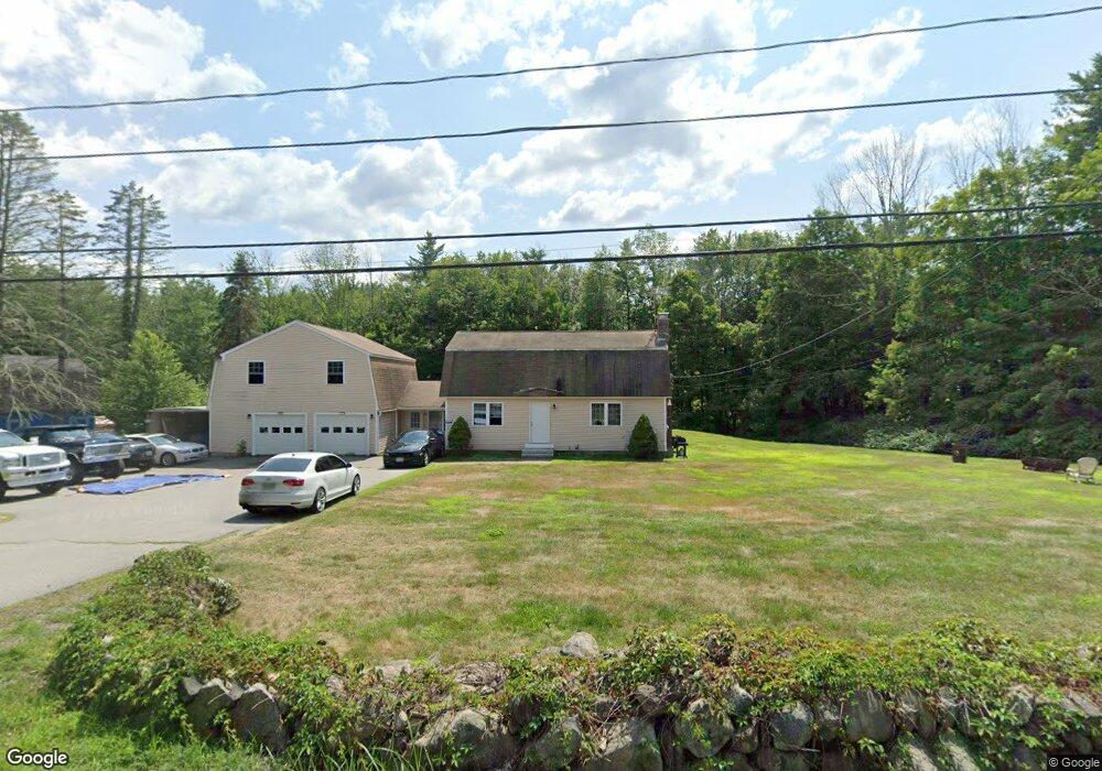
32 Longhill Rd Raymond, NH 03077
Estimated Value: $516,764 - $557,000
3
Beds
2
Baths
1,728
Sq Ft
$311/Sq Ft
Est. Value
About This Home
This home is located at 32 Longhill Rd, Raymond, NH 03077 and is currently estimated at $537,441, approximately $311 per square foot. 32 Longhill Rd is a home located in Rockingham County with nearby schools including Lamprey River Elementary School, Iber Holmes Gove Middle School, and Raymond High School.
Ownership History
Date
Name
Owned For
Owner Type
Purchase Details
Closed on
May 20, 2011
Sold by
Powers John T and Powers Barbara A
Bought by
Brousseau David A
Current Estimated Value
Home Financials for this Owner
Home Financials are based on the most recent Mortgage that was taken out on this home.
Original Mortgage
$195,839
Interest Rate
4.88%
Mortgage Type
Purchase Money Mortgage
Create a Home Valuation Report for This Property
The Home Valuation Report is an in-depth analysis detailing your home's value as well as a comparison with similar homes in the area
Home Values in the Area
Average Home Value in this Area
Purchase History
| Date | Buyer | Sale Price | Title Company |
|---|---|---|---|
| Brousseau David A | $201,000 | -- |
Source: Public Records
Mortgage History
| Date | Status | Borrower | Loan Amount |
|---|---|---|---|
| Open | Brousseau David A | $196,123 | |
| Closed | Brousseau David A | $195,839 | |
| Previous Owner | Brousseau David A | $100,000 |
Source: Public Records
Tax History Compared to Growth
Tax History
| Year | Tax Paid | Tax Assessment Tax Assessment Total Assessment is a certain percentage of the fair market value that is determined by local assessors to be the total taxable value of land and additions on the property. | Land | Improvement |
|---|---|---|---|---|
| 2024 | $7,281 | $332,300 | $98,100 | $234,200 |
| 2023 | $6,885 | $332,300 | $98,100 | $234,200 |
| 2022 | $6,078 | $332,300 | $98,100 | $234,200 |
| 2021 | $6,151 | $332,300 | $98,100 | $234,200 |
| 2020 | $6,333 | $241,700 | $70,600 | $171,100 |
| 2019 | $6,427 | $241,700 | $70,600 | $171,100 |
| 2018 | $5,904 | $241,700 | $70,600 | $171,100 |
| 2017 | $5,069 | $241,700 | $70,600 | $171,100 |
| 2016 | $5,738 | $241,700 | $70,600 | $171,100 |
| 2015 | $5,372 | $214,200 | $70,600 | $143,600 |
| 2014 | $5,097 | $209,500 | $70,600 | $138,900 |
| 2013 | $4,953 | $209,500 | $70,600 | $138,900 |
Source: Public Records
Map
Nearby Homes
- 189 Route 27
- 202 Route 27 Unit 36
- 84 W Shore Dr
- 29 Harriman Rd
- 53 Barberry Ln
- 7 Woodlawn Rd
- 6 Knights Ct
- 19 Parker Ave
- 88 Harriman Hill Rd
- 10 Raiders Ln
- 29 Batchelder Rd
- 0 Eastside Dr
- 11 Blaisdell's Trail
- 6 Blaisdell's Trail
- 17 Blaisdell's Trail
- 37-23 Blaisdell's Trail
- 25 Blaisdell's Trail
- 29 Blaisdell's Trail
- 5 Blaisdell's Trail
- 1 Blaisdell's Trail
- 30 Longhill Rd
- 31 Longhill Rd
- 34 Longhill Rd
- 33 Longhill Rd
- 29 Longhill Rd
- 28 Longhill Rd
- 36 Longhill Rd
- 3 Audette Rd
- 26 Longhill Rd
- 38 Longhill Rd
- 3 Smith Pond Rd
- 42 Smith Pond Rd
- 12 Smith Pond Rd
- 5 Smith Pond Rd
- 40 Longhill Rd
- 23 Longhill Rd
- 22 Longhill Rd
- 47 Long Hill Rd
- 11 Audette Rd
- 52 Smith Pond Rd