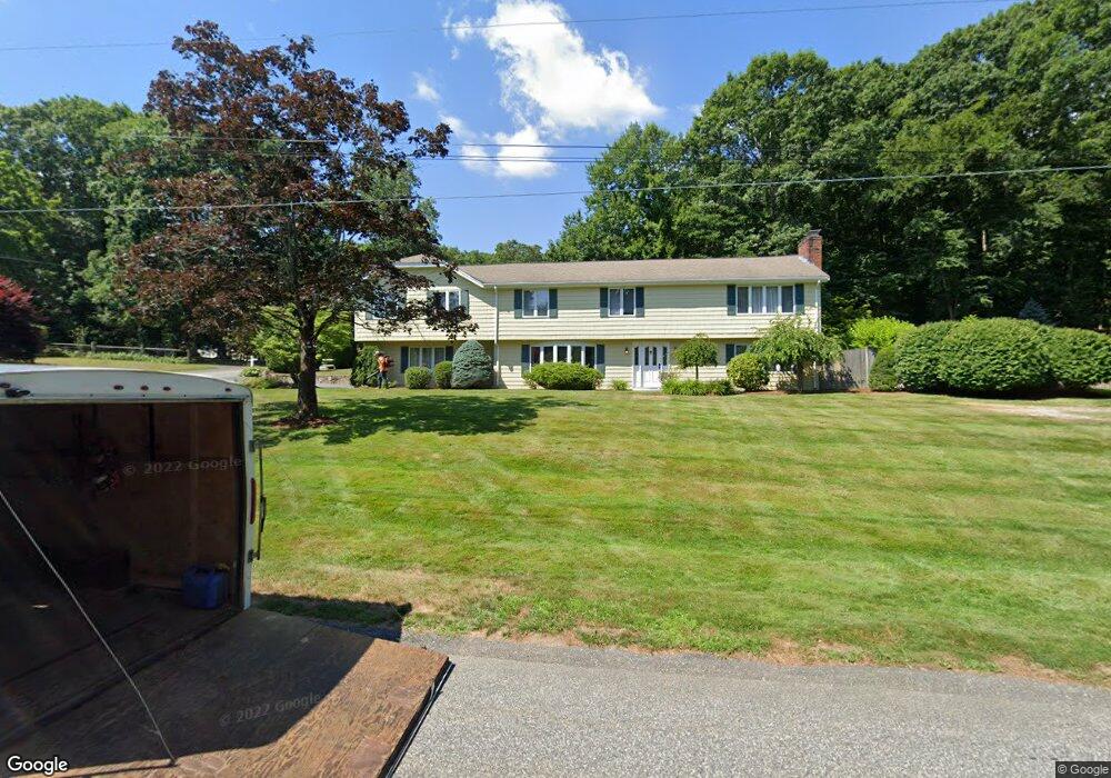
32 Meadowbrook Ln Holliston, MA 01746
Estimated Value: $863,000 - $990,000
4
Beds
3
Baths
3,184
Sq Ft
$293/Sq Ft
Est. Value
About This Home
This home is located at 32 Meadowbrook Ln, Holliston, MA 01746 and is currently estimated at $932,357, approximately $292 per square foot. 32 Meadowbrook Ln is a home located in Middlesex County with nearby schools including Miller Elementary School, Robert H. Adams Middle School, and Holliston High School.
Ownership History
Date
Name
Owned For
Owner Type
Purchase Details
Closed on
Mar 31, 2025
Sold by
Agnes E Kovacs T E and Agnes Kovacs
Bought by
Swasey William and Swasey Stephanie
Current Estimated Value
Home Financials for this Owner
Home Financials are based on the most recent Mortgage that was taken out on this home.
Original Mortgage
$688,000
Outstanding Balance
$685,074
Interest Rate
6.87%
Mortgage Type
Purchase Money Mortgage
Estimated Equity
$247,283
Purchase Details
Closed on
May 21, 2024
Sold by
Kovacs Agnes E and Kovacs Steven G
Bought by
Agnes E Kovacs T E and Agnes Kovacs
Purchase Details
Closed on
Apr 8, 2002
Sold by
Alexander J Kovacs T
Bought by
Wall St Dev Corp
Home Financials for this Owner
Home Financials are based on the most recent Mortgage that was taken out on this home.
Original Mortgage
$1,700,000
Interest Rate
6.85%
Mortgage Type
Purchase Money Mortgage
Create a Home Valuation Report for This Property
The Home Valuation Report is an in-depth analysis detailing your home's value as well as a comparison with similar homes in the area
Home Values in the Area
Average Home Value in this Area
Purchase History
| Date | Buyer | Sale Price | Title Company |
|---|---|---|---|
| Swasey William | $860,000 | None Available | |
| Swasey William | $860,000 | None Available | |
| Agnes E Kovacs T E | -- | None Available | |
| Agnes E Kovacs T E | -- | None Available | |
| Agnes E Kovacs T E | -- | None Available | |
| Wall St Dev Corp | $600,000 | -- | |
| Wall St Dev Corp | $600,000 | -- |
Source: Public Records
Mortgage History
| Date | Status | Borrower | Loan Amount |
|---|---|---|---|
| Open | Swasey William | $688,000 | |
| Closed | Swasey William | $688,000 | |
| Previous Owner | Wall St Dev Corp | $1,700,000 |
Source: Public Records
Tax History Compared to Growth
Tax History
| Year | Tax Paid | Tax Assessment Tax Assessment Total Assessment is a certain percentage of the fair market value that is determined by local assessors to be the total taxable value of land and additions on the property. | Land | Improvement |
|---|---|---|---|---|
| 2025 | $15,642 | $1,067,700 | $269,400 | $798,300 |
| 2024 | $13,879 | $921,600 | $269,400 | $652,200 |
| 2023 | $13,090 | $850,000 | $269,400 | $580,600 |
| 2022 | $11,485 | $660,800 | $269,400 | $391,400 |
| 2021 | $11,395 | $638,400 | $247,000 | $391,400 |
| 2020 | $11,830 | $627,600 | $244,700 | $382,900 |
| 2019 | $11,145 | $591,900 | $212,900 | $379,000 |
| 2018 | $11,010 | $589,700 | $212,900 | $376,800 |
| 2017 | $10,669 | $576,100 | $204,800 | $371,300 |
| 2016 | $10,344 | $550,500 | $179,200 | $371,300 |
| 2015 | $10,397 | $536,500 | $160,100 | $376,400 |
Source: Public Records
Map
Nearby Homes
- 8 Raymond Way
- 97 Meeting House Path Unit 97
- 152 Turner Rd Unit 43
- 152 Turner Rd Unit 14
- 74 Meeting House Path
- 72 Meeting House Path
- 120 Prospect St
- 277 Meeting House Path
- 147 Turner Rd Unit 80
- 59 Turner Rd
- 150 Westfield Dr
- 157 Leland Farm Rd
- 49 Prospect St
- 63 Trailside Way Unit 63
- 32 Colonial Way
- 95 Brooksmont Dr Unit 26
- 133 Brooksmont Dr Unit 43
- 25 Prospect St
- 67 Spyglass Hill Dr
- 306 Trailside Way
- 93 Robert Rd
- 73 Robert Rd
- 46 Meadowbrook Ln
- 25 Meadowbrook Ln
- 101 Robert Rd
- 63 Robert Rd
- 5 Meadowbrook Ln
- 98 Robert Rd
- 8 Meadowbrook Ln
- 8 Meadowbrook Ln
- 54 Meadowbrook Ln
- 84 Orchard Ln
- 109 Robert Rd
- 58 Robert Rd
- 102 Robert Rd
- 53 Robert Rd
- 129 Stagecoach Rd
- 113 Stagecoach Rd
- 93 Orchard Ln
- 76 Orchard Ln