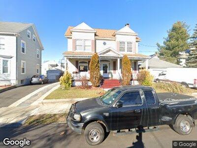
32 Merchant St Bridgeport, CT 06604
Brooklawn-Saint Vincent NeighborhoodEstimated Value: $383,000 - $503,000
3
Beds
1
Bath
2,084
Sq Ft
$211/Sq Ft
Est. Value
About This Home
This home is located at 32 Merchant St, Bridgeport, CT 06604 and is currently estimated at $439,842, approximately $211 per square foot. 32 Merchant St is a home located in Fairfield County with nearby schools including Geraldine Johnson School, Bassick High School, and Catholic Academy of Bridgeport-St. Raphael Academy.
Ownership History
Date
Name
Owned For
Owner Type
Purchase Details
Closed on
Jun 24, 2003
Sold by
Sgueglia Theresa
Bought by
Francis Josiah J and Francis Llelipsa
Current Estimated Value
Home Financials for this Owner
Home Financials are based on the most recent Mortgage that was taken out on this home.
Original Mortgage
$106,400
Outstanding Balance
$48,331
Interest Rate
5.71%
Estimated Equity
$404,171
Create a Home Valuation Report for This Property
The Home Valuation Report is an in-depth analysis detailing your home's value as well as a comparison with similar homes in the area
Home Values in the Area
Average Home Value in this Area
Purchase History
| Date | Buyer | Sale Price | Title Company |
|---|---|---|---|
| Francis Josiah J | $112,000 | -- | |
| Francis Josiah J | $112,000 | -- |
Source: Public Records
Mortgage History
| Date | Status | Borrower | Loan Amount |
|---|---|---|---|
| Open | Francis Josiah J | $106,400 | |
| Closed | Francis Josiah J | $106,400 |
Source: Public Records
Tax History Compared to Growth
Tax History
| Year | Tax Paid | Tax Assessment Tax Assessment Total Assessment is a certain percentage of the fair market value that is determined by local assessors to be the total taxable value of land and additions on the property. | Land | Improvement |
|---|---|---|---|---|
| 2024 | $8,043 | $185,120 | $77,910 | $107,210 |
| 2023 | $8,043 | $185,120 | $77,910 | $107,210 |
| 2022 | $8,043 | $185,120 | $77,910 | $107,210 |
| 2021 | $8,043 | $185,120 | $77,910 | $107,210 |
| 2020 | $7,659 | $141,860 | $47,210 | $94,650 |
| 2019 | $7,659 | $141,860 | $47,210 | $94,650 |
| 2018 | $7,713 | $141,860 | $47,210 | $94,650 |
| 2017 | $7,713 | $141,860 | $47,210 | $94,650 |
| 2016 | $7,713 | $141,860 | $47,210 | $94,650 |
| 2015 | $6,966 | $165,080 | $49,980 | $115,100 |
| 2014 | $6,966 | $165,080 | $49,980 | $115,100 |
Source: Public Records
Map
Nearby Homes
- 128 Bancroft Ave
- 501 Pequonnock St
- 64-66 Maplewood Ave
- 1391 North Ave Unit 1393
- 88 Pierce Ave
- 191 Oak St
- 127 Jones Ave
- 265 Olive St
- 141 Arcadia Ave
- 276 Pequonnock St
- 1057 Briarwood Ave
- 56 Calhoun Ave
- 599 Laurel Ave
- 1356 Wood Ave
- 2370 North Ave Unit 12G
- 2370 North Ave Unit 6A
- 2370 North Ave Unit 10A
- 2370 North Ave Unit 9D
- 2370 North Ave Unit 5A
- 2370 North Ave Unit 9G
- 32 Merchant St
- 42 Merchant St
- 1893 Park Ave
- 1907 Park Ave
- 31 Eaton St
- 52 Merchant St Unit 54
- 41 Merchant St Unit 43
- 41 Eaton St Unit 43
- 53 Eaton St Unit 55
- 31 Merchant St
- 1925 Park Ave
- 60 Merchant St Unit 62
- 55 Eaton St
- 61 Eaton St Unit 63
- 51 Merchant St
- 72-74 Merchant St Unit 3
- 1865 Park Ave
- 63 Merchant St
- 63 Merchant St Unit 2ND.
- 63 Merchant St Unit 3