32 Mill Pond Rd Pembroke, MA 02359
Estimated Value: $536,000 - $557,096
2
Beds
3
Baths
1,416
Sq Ft
$385/Sq Ft
Est. Value
About This Home
This home is located at 32 Mill Pond Rd, Pembroke, MA 02359 and is currently estimated at $545,774, approximately $385 per square foot. 32 Mill Pond Rd is a home located in Plymouth County with nearby schools including Pembroke High School.
Ownership History
Date
Name
Owned For
Owner Type
Purchase Details
Closed on
Jul 30, 2007
Sold by
Ybarra Raul E
Bought by
Ybarra Raul E and Tanabe Miwa
Current Estimated Value
Purchase Details
Closed on
Apr 29, 2004
Sold by
Stone Thomas R and Martin Trichelle R
Bought by
Ybarra Raul E
Home Financials for this Owner
Home Financials are based on the most recent Mortgage that was taken out on this home.
Original Mortgage
$231,900
Interest Rate
5.36%
Mortgage Type
Purchase Money Mortgage
Purchase Details
Closed on
May 8, 1996
Sold by
Maki Harry Hj and Maki Taimi H
Bought by
Stone Thomas R and Martin Trichelle R
Create a Home Valuation Report for This Property
The Home Valuation Report is an in-depth analysis detailing your home's value as well as a comparison with similar homes in the area
Purchase History
| Date | Buyer | Sale Price | Title Company |
|---|---|---|---|
| Ybarra Raul E | -- | -- | |
| Ybarra Raul E | $289,900 | -- | |
| Stone Thomas R | $88,000 | -- |
Source: Public Records
Mortgage History
| Date | Status | Borrower | Loan Amount |
|---|---|---|---|
| Previous Owner | Stone Thomas R | $261,600 | |
| Previous Owner | Stone Thomas R | $50,000 | |
| Previous Owner | Stone Thomas R | $231,900 |
Source: Public Records
Tax History
| Year | Tax Paid | Tax Assessment Tax Assessment Total Assessment is a certain percentage of the fair market value that is determined by local assessors to be the total taxable value of land and additions on the property. | Land | Improvement |
|---|---|---|---|---|
| 2025 | $5,603 | $466,100 | $268,800 | $197,300 |
| 2024 | $5,241 | $435,700 | $240,300 | $195,400 |
| 2023 | $5,113 | $402,000 | $220,500 | $181,500 |
| 2022 | $4,385 | $309,900 | $184,300 | $125,600 |
| 2021 | $4,093 | $280,700 | $176,200 | $104,500 |
| 2020 | $4,012 | $276,900 | $172,400 | $104,500 |
| 2019 | $3,830 | $262,300 | $164,400 | $97,900 |
| 2018 | $3,556 | $238,800 | $152,300 | $86,500 |
| 2017 | $3,491 | $231,200 | $144,700 | $86,500 |
| 2016 | $3,372 | $221,000 | $135,200 | $85,800 |
| 2015 | $3,172 | $215,200 | $129,400 | $85,800 |
Source: Public Records
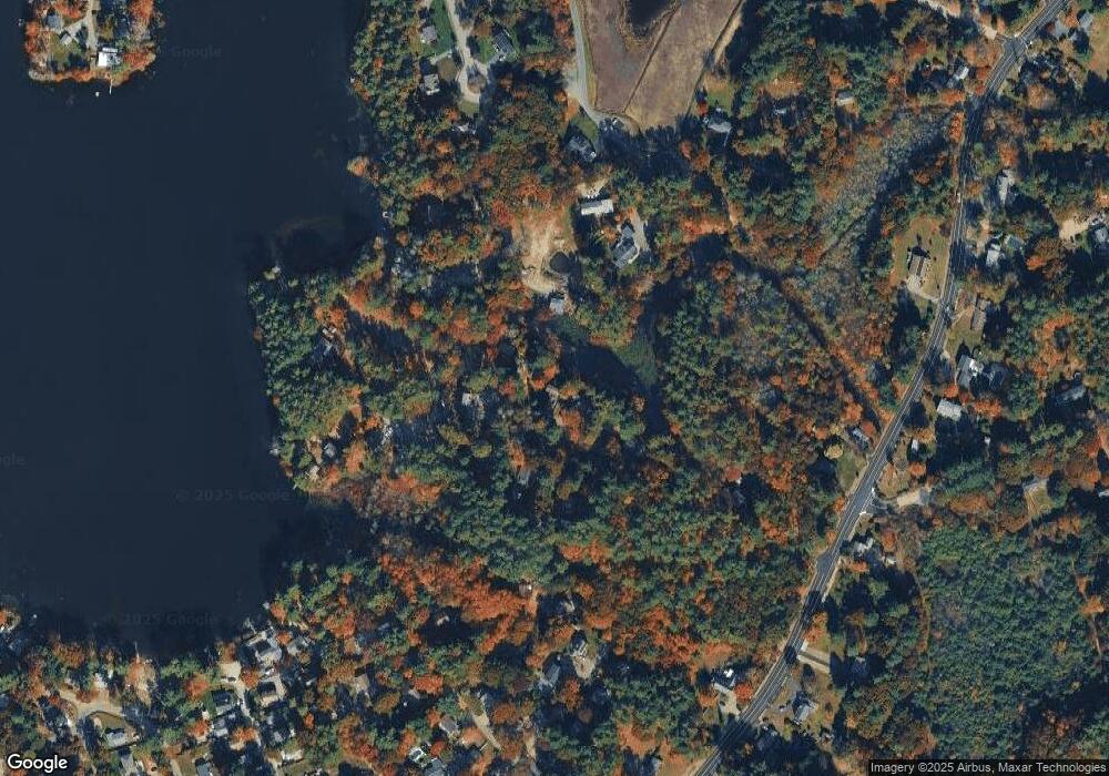
Map
Nearby Homes
- 10 Fir Rd
- 7 Andrew Dr
- 290 School St
- 66 Wildwood Rd
- 131 Elmer St
- 72 Old Cart Path Ln Unit Lot 2
- 78 Old Cart Path Ln Unit Lot 3
- 77 Old Cart Path Ln Unit Lot 4
- 12 Herring Brook Ln
- 46 Blueberry Ln
- 148 High St
- 269 Lakeside Rd
- 26 Jessica Cir
- 143 Plymouth St
- 134 Crescent St
- 25 Little Brook Rd
- 32 Little Brook Rd
- 127 Crescent Place
- 318 South St
- 30 Old Washington St Unit 9
Your Personal Tour Guide
Ask me questions while you tour the home.