32 Mooers Rd Buxton, ME 04093
Estimated Value: $345,000 - $449,000
2
Beds
1
Bath
768
Sq Ft
$492/Sq Ft
Est. Value
About This Home
This home is located at 32 Mooers Rd, Buxton, ME 04093 and is currently estimated at $378,009, approximately $492 per square foot. 32 Mooers Rd is a home located in York County with nearby schools including Bonny Eagle High School.
Ownership History
Date
Name
Owned For
Owner Type
Purchase Details
Closed on
Jun 1, 2009
Sold by
Brann William R and Brann Kirsten G
Bought by
Knight-Ballou Jolene and Ballou Robert
Current Estimated Value
Home Financials for this Owner
Home Financials are based on the most recent Mortgage that was taken out on this home.
Original Mortgage
$108,000
Outstanding Balance
$68,603
Interest Rate
4.87%
Mortgage Type
Unknown
Estimated Equity
$309,406
Create a Home Valuation Report for This Property
The Home Valuation Report is an in-depth analysis detailing your home's value as well as a comparison with similar homes in the area
Home Values in the Area
Average Home Value in this Area
Purchase History
| Date | Buyer | Sale Price | Title Company |
|---|---|---|---|
| Knight-Ballou Jolene | -- | -- |
Source: Public Records
Mortgage History
| Date | Status | Borrower | Loan Amount |
|---|---|---|---|
| Open | Knight-Ballou Jolene | $108,000 |
Source: Public Records
Tax History Compared to Growth
Tax History
| Year | Tax Paid | Tax Assessment Tax Assessment Total Assessment is a certain percentage of the fair market value that is determined by local assessors to be the total taxable value of land and additions on the property. | Land | Improvement |
|---|---|---|---|---|
| 2024 | $2,114 | $192,400 | $124,000 | $68,400 |
| 2023 | $2,007 | $192,400 | $124,000 | $68,400 |
| 2022 | $1,970 | $192,400 | $124,000 | $68,400 |
| 2021 | $2,008 | $138,900 | $104,900 | $34,000 |
| 2020 | $2,025 | $138,900 | $104,900 | $34,000 |
| 2019 | $1,670 | $112,700 | $83,900 | $28,800 |
| 2018 | $1,594 | $112,700 | $83,900 | $28,800 |
| 2017 | $1,533 | $112,700 | $83,900 | $28,800 |
| 2016 | $1,471 | $112,700 | $83,900 | $28,800 |
| 2015 | $1,459 | $112,700 | $83,900 | $28,800 |
| 2014 | $1,431 | $112,700 | $83,900 | $28,800 |
| 2013 | $1,409 | $112,700 | $83,900 | $28,800 |
Source: Public Records
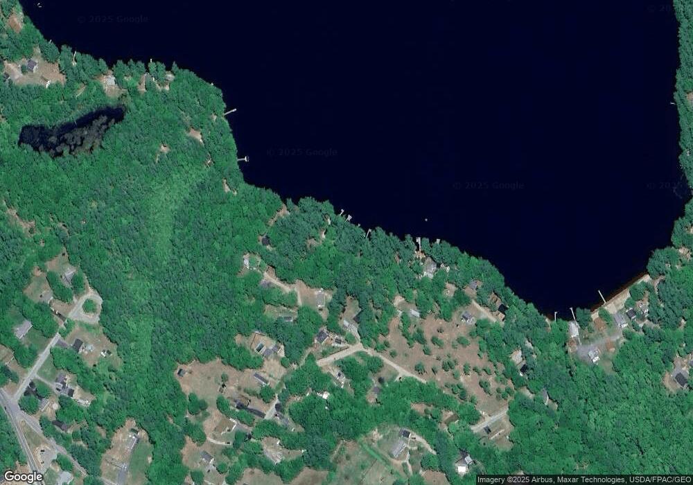
Map
Nearby Homes
- 47 Proprietors Rd
- Lot 2 Commerce Way
- 580 Bonny Eagle Rd
- 17 Fox Track
- 135 Bonny Eagle Rd
- 7 Pelletier Dr
- Lot 8 Pelletier Dr
- Lot 10 Pelletier Dr
- 541 Cape Rd
- 23 Bonny Eagle Rd
- 4 Pelletier Dr
- 95 Skip Rd
- 2 Bonny Eagle Rd
- 62 Emery Cir
- 125 Old Thompson Rd
- 30 Joan Dixon Way
- 866 Parker Farm Rd Unit A
- 866 Parker Farm Rd Unit B
- 6 Sunrise St
- 14 Patrick Dr