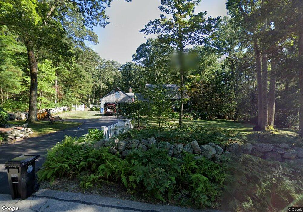
32 Mount St Wrentham, MA 02093
Sheldonville NeighborhoodEstimated Value: $699,323 - $902,000
4
Beds
2
Baths
1,968
Sq Ft
$388/Sq Ft
Est. Value
About This Home
This home is located at 32 Mount St, Wrentham, MA 02093 and is currently estimated at $763,581, approximately $387 per square foot. 32 Mount St is a home located in Norfolk County with nearby schools including Delaney Elementary School, Charles E Roderick, and Mercymount Country Day School.
Ownership History
Date
Name
Owned For
Owner Type
Purchase Details
Closed on
Aug 1, 1985
Bought by
Rodio Michael P and Rodio Ann A
Current Estimated Value
Create a Home Valuation Report for This Property
The Home Valuation Report is an in-depth analysis detailing your home's value as well as a comparison with similar homes in the area
Home Values in the Area
Average Home Value in this Area
Purchase History
| Date | Buyer | Sale Price | Title Company |
|---|---|---|---|
| Rodio Michael P | $155,000 | -- |
Source: Public Records
Mortgage History
| Date | Status | Borrower | Loan Amount |
|---|---|---|---|
| Open | Rodio Michael P | $100,000 | |
| Closed | Rodio Michael P | $100,000 | |
| Closed | Rodio Michael P | $60,000 |
Source: Public Records
Tax History
| Year | Tax Paid | Tax Assessment Tax Assessment Total Assessment is a certain percentage of the fair market value that is determined by local assessors to be the total taxable value of land and additions on the property. | Land | Improvement |
|---|---|---|---|---|
| 2025 | $7,334 | $632,800 | $287,400 | $345,400 |
| 2024 | $7,030 | $585,800 | $287,400 | $298,400 |
| 2023 | $7,036 | $557,500 | $261,200 | $296,300 |
| 2022 | $6,940 | $507,700 | $254,100 | $253,600 |
| 2021 | $6,849 | $486,800 | $237,500 | $249,300 |
| 2020 | $6,328 | $444,100 | $181,300 | $262,800 |
| 2019 | $6,015 | $426,000 | $163,200 | $262,800 |
| 2018 | $5,265 | $369,700 | $162,900 | $206,800 |
| 2017 | $5,147 | $361,200 | $159,700 | $201,500 |
| 2016 | $4,962 | $347,500 | $155,100 | $192,400 |
| 2015 | $5,116 | $341,500 | $165,700 | $175,800 |
| 2014 | $5,170 | $337,700 | $159,400 | $178,300 |
Source: Public Records
Map
Nearby Homes
- 955 Summer St
- 440 Chestnut St
- 0 Fall Ln
- 613 West St
- 139 King St Unit 306
- 82 Uncas Ave
- 82 Uncas Ave Unit 1
- 80 Uncas Ave
- 66 Uncas Ave
- 68 Uncas Ave
- 76 Uncas Ave
- 64 Uncas Ave
- 62 Uncas Ave
- 20 Field Cir
- 1 Washington St
- 99 Summer St
- 3 Washington St
- 374-378 Union St
- 10 Earle Stewart Ln Unit Lot 5
- 12 Earle Stewart Ln
Your Personal Tour Guide
Ask me questions while you tour the home.