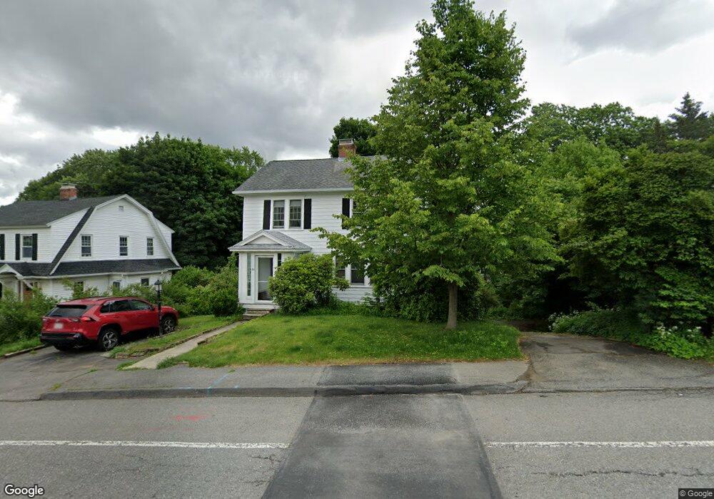
32 North Pkwy Worcester, MA 01605
North Lincoln Street NeighborhoodEstimated Value: $446,043 - $531,000
3
Beds
1
Bath
1,528
Sq Ft
$319/Sq Ft
Est. Value
About This Home
This home is located at 32 North Pkwy, Worcester, MA 01605 and is currently estimated at $487,011, approximately $318 per square foot. 32 North Pkwy is a home located in Worcester County with nearby schools including Jacob Hiatt Magnet School, Chandler Magnet, and Wawecus Road School.
Ownership History
Date
Name
Owned For
Owner Type
Purchase Details
Closed on
Jul 10, 2002
Sold by
Pingeton Edward B and Pingeton Phyllis M
Bought by
Foss Bruce
Current Estimated Value
Create a Home Valuation Report for This Property
The Home Valuation Report is an in-depth analysis detailing your home's value as well as a comparison with similar homes in the area
Home Values in the Area
Average Home Value in this Area
Purchase History
| Date | Buyer | Sale Price | Title Company |
|---|---|---|---|
| Foss Bruce | $221,000 | -- |
Source: Public Records
Mortgage History
| Date | Status | Borrower | Loan Amount |
|---|---|---|---|
| Open | Foss Bruce | $208,000 |
Source: Public Records
Tax History
| Year | Tax Paid | Tax Assessment Tax Assessment Total Assessment is a certain percentage of the fair market value that is determined by local assessors to be the total taxable value of land and additions on the property. | Land | Improvement |
|---|---|---|---|---|
| 2025 | $5,095 | $386,300 | $118,900 | $267,400 |
| 2024 | $5,000 | $363,600 | $118,900 | $244,700 |
| 2023 | $4,788 | $333,900 | $103,300 | $230,600 |
| 2022 | $4,400 | $289,300 | $82,700 | $206,600 |
| 2021 | $4,228 | $259,700 | $66,200 | $193,500 |
| 2020 | $4,102 | $241,300 | $66,100 | $175,200 |
| 2019 | $3,629 | $201,600 | $59,600 | $142,000 |
| 2018 | $3,616 | $191,200 | $59,600 | $131,600 |
| 2017 | $3,488 | $181,500 | $59,600 | $121,900 |
| 2016 | $3,415 | $165,700 | $44,100 | $121,600 |
| 2015 | $3,326 | $165,700 | $44,100 | $121,600 |
| 2014 | $3,238 | $165,700 | $44,100 | $121,600 |
Source: Public Records
Map
Nearby Homes
- 30 Melrose St
- 45 Goldthwaite Rd
- 2 Selden St
- 15 Ericsson St
- 169 Whitmarsh Ave
- 3205 Halcyon Dr Unit 3205
- 33 Denmark St
- 25 Mckinley Rd
- 39 Whitmarsh Ave
- 58 Osceola Ave
- 27 Harlow St
- 17 Goucher Ave
- 44 Boardman St
- 323 Burncoat St
- 31 Boardman St
- 331 Burncoat St
- 12 Erie Ave
- 66 Eunice Ave
- 78 Green Hill Pkwy
- 74 Green Hill Pkwy
Your Personal Tour Guide
Ask me questions while you tour the home.