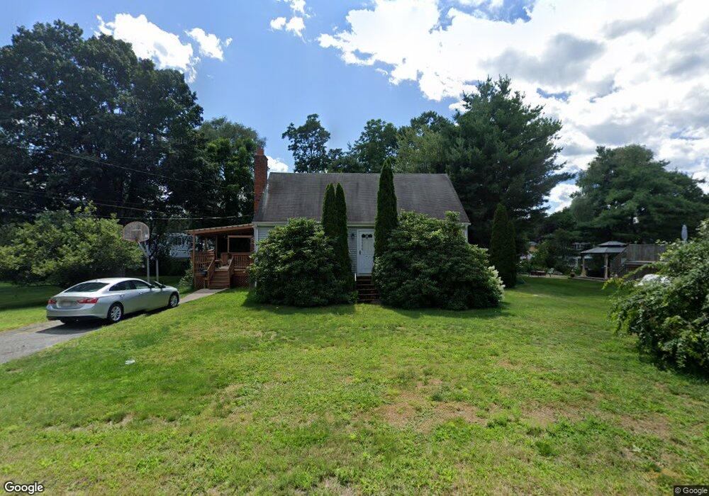
32 Old Bolton Rd Hudson, MA 01749
Estimated Value: $593,000 - $649,000
4
Beds
2
Baths
1,627
Sq Ft
$378/Sq Ft
Est. Value
About This Home
This home is located at 32 Old Bolton Rd, Hudson, MA 01749 and is currently estimated at $614,616, approximately $377 per square foot. 32 Old Bolton Rd is a home located in Middlesex County with nearby schools including David J. Quinn Middle School, Hudson High School, and Darnell School For Educational & Behavioral Service.
Ownership History
Date
Name
Owned For
Owner Type
Purchase Details
Closed on
Jan 31, 2005
Sold by
Veseskis Kenneth and Veseskis Susan E
Bought by
Buscaglia John C
Current Estimated Value
Home Financials for this Owner
Home Financials are based on the most recent Mortgage that was taken out on this home.
Original Mortgage
$260,000
Interest Rate
5.67%
Mortgage Type
Purchase Money Mortgage
Create a Home Valuation Report for This Property
The Home Valuation Report is an in-depth analysis detailing your home's value as well as a comparison with similar homes in the area
Home Values in the Area
Average Home Value in this Area
Purchase History
| Date | Buyer | Sale Price | Title Company |
|---|---|---|---|
| Buscaglia John C | $325,000 | -- | |
| Buscaglia John C | $325,000 | -- |
Source: Public Records
Mortgage History
| Date | Status | Borrower | Loan Amount |
|---|---|---|---|
| Open | Buscaglia John C | $226,200 | |
| Closed | Buscaglia John C | $260,000 | |
| Previous Owner | Buscaglia John C | $52,200 |
Source: Public Records
Tax History Compared to Growth
Tax History
| Year | Tax Paid | Tax Assessment Tax Assessment Total Assessment is a certain percentage of the fair market value that is determined by local assessors to be the total taxable value of land and additions on the property. | Land | Improvement |
|---|---|---|---|---|
| 2025 | $6,923 | $498,800 | $183,200 | $315,600 |
| 2024 | $6,472 | $462,300 | $166,500 | $295,800 |
| 2023 | $6,081 | $416,500 | $160,100 | $256,400 |
| 2022 | $5,876 | $370,500 | $145,500 | $225,000 |
| 2021 | $5,818 | $350,700 | $138,600 | $212,100 |
| 2020 | $5,780 | $348,000 | $135,900 | $212,100 |
| 2019 | $5,438 | $319,300 | $135,900 | $183,400 |
| 2018 | $5,304 | $300,100 | $129,500 | $170,600 |
| 2017 | $4,891 | $279,500 | $123,300 | $156,200 |
| 2016 | $4,561 | $263,800 | $123,300 | $140,500 |
| 2015 | $4,254 | $246,300 | $123,300 | $123,000 |
| 2014 | $4,136 | $237,400 | $108,000 | $129,400 |
Source: Public Records
Map
Nearby Homes
- 12 Old County Rd
- 12 Old County Rd Unit 20
- 2 Edith Rd
- 76 Woobly Rd
- 28 Pierce St
- 200 Manning St Unit 6C
- 200 Manning St Unit 14B
- 346 Long Hill Rd
- 26 Marychris Dr
- 74 Cox St Unit 9
- 51 Teele Rd
- 304 Cox St
- 1 Barracks Rd Unit 1
- 133 Lincoln St
- 104 Lincoln St
- 425 Main St Unit 11B
- 248 Main St Unit 207
- 248 Main St Unit 216
- 0 Long Hill Rd
- 55 Cottage St