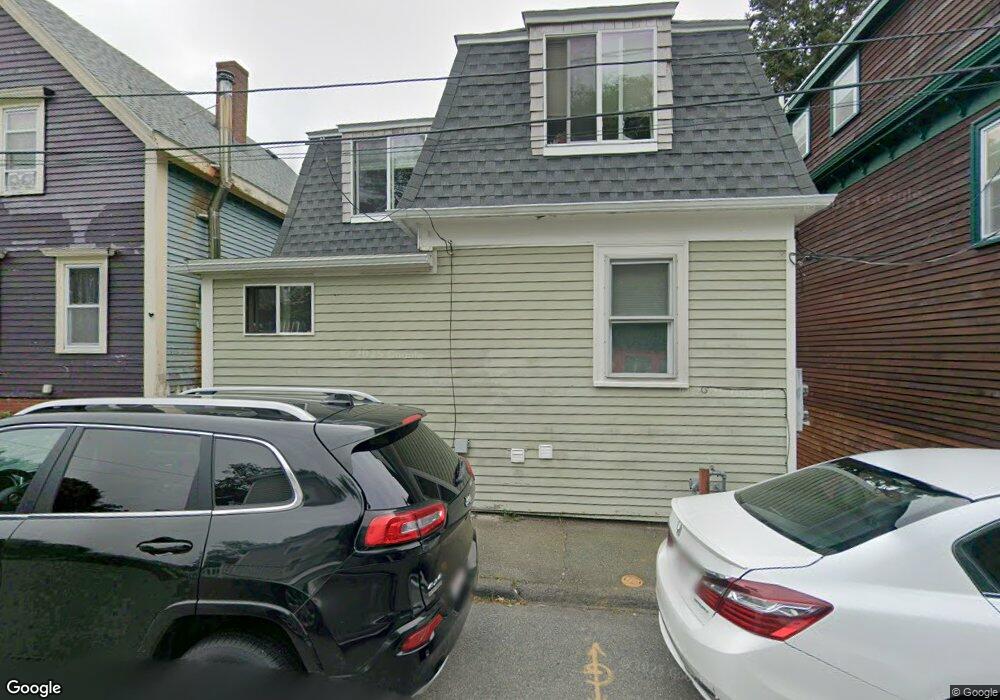
32 Orchard St Gloucester, MA 01930
Central Gloucester NeighborhoodEstimated Value: $425,000 - $529,584
4
Beds
2
Baths
1,136
Sq Ft
$414/Sq Ft
Est. Value
About This Home
This home is located at 32 Orchard St, Gloucester, MA 01930 and is currently estimated at $469,896, approximately $413 per square foot. 32 Orchard St is a home located in Essex County with nearby schools including Beeman Memorial, Ralph B O'maley Middle School, and Gloucester High School.
Ownership History
Date
Name
Owned For
Owner Type
Purchase Details
Closed on
Oct 24, 2003
Sold by
Mcrobb Andrew W
Bought by
Pierce Sandra M
Current Estimated Value
Home Financials for this Owner
Home Financials are based on the most recent Mortgage that was taken out on this home.
Original Mortgage
$8,500
Outstanding Balance
$3,980
Interest Rate
6.03%
Estimated Equity
$465,916
Create a Home Valuation Report for This Property
The Home Valuation Report is an in-depth analysis detailing your home's value as well as a comparison with similar homes in the area
Home Values in the Area
Average Home Value in this Area
Purchase History
| Date | Buyer | Sale Price | Title Company |
|---|---|---|---|
| Pierce Sandra M | $270,000 | -- |
Source: Public Records
Mortgage History
| Date | Status | Borrower | Loan Amount |
|---|---|---|---|
| Open | Pierce Sandra M | $8,500 | |
| Open | Pierce Sandra M | $198,500 | |
| Closed | Pierce Sandra M | $54,000 | |
| Previous Owner | Pierce Sandra M | $78,750 |
Source: Public Records
Tax History
| Year | Tax Paid | Tax Assessment Tax Assessment Total Assessment is a certain percentage of the fair market value that is determined by local assessors to be the total taxable value of land and additions on the property. | Land | Improvement |
|---|---|---|---|---|
| 2025 | $4,114 | $423,300 | $122,600 | $300,700 |
| 2024 | $4,034 | $414,600 | $116,700 | $297,900 |
| 2023 | $4,154 | $392,300 | $104,200 | $288,100 |
| 2022 | $3,900 | $332,500 | $90,600 | $241,900 |
| 2021 | $3,773 | $303,300 | $82,400 | $220,900 |
| 2020 | $3,584 | $290,700 | $82,400 | $208,300 |
| 2019 | $3,351 | $264,100 | $82,400 | $181,700 |
| 2018 | $3,143 | $243,100 | $82,400 | $160,700 |
| 2017 | $2,951 | $223,700 | $74,200 | $149,500 |
| 2016 | $2,900 | $213,100 | $74,200 | $138,900 |
| 2015 | $2,850 | $208,800 | $74,200 | $134,600 |
Source: Public Records
Map
Nearby Homes
- 20 Beacon St
- 20 Beacon St Unit 2
- 20 Beacon St Unit 1
- 120 Washington St
- 13 Leslie o Johnson Rd
- 15 Harvard St
- 33 Middle St
- 35 Middle St Unit 4
- 33 Maplewood Ave Unit 310
- 113 Pleasant St
- 6 Monroe Ct
- 98 Maplewood Ave
- 191 Main St Unit 3
- 191 Main St Unit 2A
- 9 Cleveland Place
- 12 Arthur St
- 50 Warner St
- 3 Rockland St
- 40 Sargent St
- 8 Mystic Ave
Your Personal Tour Guide
Ask me questions while you tour the home.