Estimated Value: $792,000 - $928,000
3
Beds
2
Baths
1,954
Sq Ft
$437/Sq Ft
Est. Value
About This Home
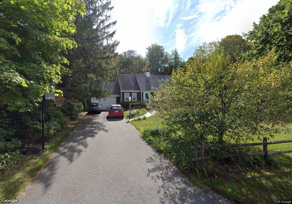
This home is located at 32 Paul Revere Rd, Acton, MA 01720 and is currently estimated at $853,103, approximately $436 per square foot. 32 Paul Revere Rd is a home located in Middlesex County with nearby schools including Acton-Boxborough Regional High School.
Ownership History
Date
Name
Owned For
Owner Type
Purchase Details
Closed on
Apr 2, 2015
Sold by
Leblanc Denis R and Leblanc Denise D
Bought by
Leblanc Nt
Current Estimated Value
Purchase Details
Closed on
Apr 12, 1989
Sold by
Cohen Mark W
Bought by
Leblanc Denis R
Home Financials for this Owner
Home Financials are based on the most recent Mortgage that was taken out on this home.
Original Mortgage
$120,000
Interest Rate
10.85%
Mortgage Type
Purchase Money Mortgage
Create a Home Valuation Report for This Property
The Home Valuation Report is an in-depth analysis detailing your home's value as well as a comparison with similar homes in the area
Home Values in the Area
Average Home Value in this Area
Purchase History
| Date | Buyer | Sale Price | Title Company |
|---|---|---|---|
| Leblanc Nt | -- | -- | |
| Leblanc Denis R | $256,000 | -- |
Source: Public Records
Mortgage History
| Date | Status | Borrower | Loan Amount |
|---|---|---|---|
| Previous Owner | Leblanc Denis R | $70,000 | |
| Previous Owner | Leblanc Denis R | $115,000 | |
| Previous Owner | Leblanc Denis R | $120,000 | |
| Previous Owner | Leblanc Denis R | $120,000 |
Source: Public Records
Tax History Compared to Growth
Tax History
| Year | Tax Paid | Tax Assessment Tax Assessment Total Assessment is a certain percentage of the fair market value that is determined by local assessors to be the total taxable value of land and additions on the property. | Land | Improvement |
|---|---|---|---|---|
| 2025 | $12,449 | $725,900 | $344,200 | $381,700 |
| 2024 | $11,779 | $706,600 | $344,200 | $362,400 |
| 2023 | $11,857 | $675,200 | $312,800 | $362,400 |
| 2022 | $10,762 | $553,300 | $272,300 | $281,000 |
| 2021 | $10,340 | $511,100 | $251,900 | $259,200 |
| 2020 | $9,716 | $505,000 | $251,900 | $253,100 |
| 2019 | $9,360 | $483,200 | $251,900 | $231,300 |
| 2018 | $9,192 | $474,300 | $251,900 | $222,400 |
| 2017 | $9,040 | $474,300 | $251,900 | $222,400 |
| 2016 | $8,627 | $448,600 | $251,900 | $196,700 |
| 2015 | $8,546 | $448,600 | $251,900 | $196,700 |
| 2014 | $8,482 | $436,100 | $251,900 | $184,200 |
Source: Public Records
Map
Nearby Homes
- 12 Olde Lantern Rd
- 96 Cedarwood Rd
- 68 Macintosh Ln
- 92 Willow St Unit 3
- 92 Willow St Unit 2
- 90 Willow St Unit 1
- 134 Russet Ln
- 3 Heather Hill Rd
- 89 Windsor Ave
- 285 Central St Unit 285
- 4,7,8 Crestwood Ln
- 5 Elm St Unit 1
- 9 Elm St Unit 1
- 207 Boxboro Rd
- 31 Mohawk Dr
- 777 Depot Rd
- 30-6 Taylor Rd
- 220 Red Acre Rd
- 169 Main St
- 19 Railroad St Unit C2
- 18 Ethan Allen Dr
- 14 Ethan Allen Dr
- 15 Ethan Allen Dr
- 3 Patrick Henry Cir
- 17 Ethan Allen Dr
- 29 Paul Revere Rd
- 20 Ethan Allen Dr
- 5 Patrick Henry Cir
- 1 Paul Revere Rd
- 13 Ethan Allen Dr
- 28 Paul Revere Rd
- 19 Ethan Allen Dr
- 3 Paul Revere Rd
- 11 Ethan Allen Dr
- 27 Paul Revere Rd
- 4 Patrick Henry Cir
- 4 Patrick Henry Cir Unit 1
- 22 Ethan Allen Dr
- 7 Patrick Henry Cir
- 21 Ethan Allen Dr