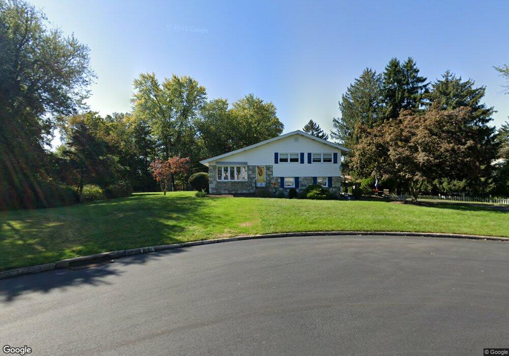
32 Pearl Dr Southampton, PA 18966
Estimated Value: $362,521 - $559,000
--
Bed
2
Baths
1,291
Sq Ft
$356/Sq Ft
Est. Value
About This Home
This home is located at 32 Pearl Dr, Southampton, PA 18966 and is currently estimated at $459,380, approximately $355 per square foot. 32 Pearl Dr is a home located in Bucks County with nearby schools including Davis Elementary School, Klinger Middle School, and William Tennent High School.
Ownership History
Date
Name
Owned For
Owner Type
Purchase Details
Closed on
Jul 17, 1998
Sold by
Petrun Andrew J and Petrun Helen M
Bought by
Schulze Herbert K and Schulze Cheryl
Current Estimated Value
Home Financials for this Owner
Home Financials are based on the most recent Mortgage that was taken out on this home.
Original Mortgage
$110,000
Outstanding Balance
$22,472
Interest Rate
6.98%
Estimated Equity
$436,908
Purchase Details
Closed on
Jan 15, 1958
Bought by
Petrun Andrew J and Petrun Helen M
Create a Home Valuation Report for This Property
The Home Valuation Report is an in-depth analysis detailing your home's value as well as a comparison with similar homes in the area
Home Values in the Area
Average Home Value in this Area
Purchase History
| Date | Buyer | Sale Price | Title Company |
|---|---|---|---|
| Schulze Herbert K | $165,000 | -- | |
| Petrun Andrew J | -- | -- |
Source: Public Records
Mortgage History
| Date | Status | Borrower | Loan Amount |
|---|---|---|---|
| Open | Schulze Herbert K | $110,000 |
Source: Public Records
Tax History Compared to Growth
Tax History
| Year | Tax Paid | Tax Assessment Tax Assessment Total Assessment is a certain percentage of the fair market value that is determined by local assessors to be the total taxable value of land and additions on the property. | Land | Improvement |
|---|---|---|---|---|
| 2025 | $5,647 | $26,400 | $8,440 | $17,960 |
| 2024 | $5,647 | $26,400 | $8,440 | $17,960 |
| 2023 | $5,475 | $26,400 | $8,440 | $17,960 |
| 2022 | $5,360 | $26,400 | $8,440 | $17,960 |
| 2021 | $5,263 | $26,400 | $8,440 | $17,960 |
| 2020 | $5,190 | $26,400 | $8,440 | $17,960 |
| 2019 | $4,999 | $26,400 | $8,440 | $17,960 |
| 2018 | $4,884 | $26,400 | $8,440 | $17,960 |
| 2017 | $4,746 | $26,400 | $8,440 | $17,960 |
| 2016 | $4,746 | $26,400 | $8,440 | $17,960 |
| 2015 | -- | $26,400 | $8,440 | $17,960 |
| 2014 | -- | $26,400 | $8,440 | $17,960 |
Source: Public Records
Map
Nearby Homes
- 43 Davisville Rd
- 29 Holly Rd
- 725 E County Line Rd
- 1034 Gum Place
- 2325 Pioneer Rd
- 620 Constitutional Dr
- 4145 Thistlewood Rd
- 2015 Butternut Dr
- 325 Toll Dr
- 530 Andrew Dr
- 475 Constitutional Dr
- 2710 E County Line Rd
- 4280 Frontier Rd
- 609 Stewart Rd
- 136 Washington Dr
- 205 Willard Rd
- 2455 Byberry Rd
- 415 New Rd
- 3541 Reading Way
- 561 Zinn Dr
- 50 Pearl Dr
- 35 Davisville Rd
- 25 Davisville Rd
- 43 Davisville Rd
- 25 County Line Rd
- 33 Pearl Dr
- 45 Davisville Rd
- 47 Pearl Dr
- 62 Pearl Dr
- 59 Pearl Dr
- 81 County Line Rd
- 25 County Line Rd
- 35 County Line Rd
- 51 County Line Rd
- 67 County Line Rd
- 46 Davisville Rd
- 28 Holly Rd
- 20 Holly Rd
- 40 Holly Rd
- 76 Pearl Dr