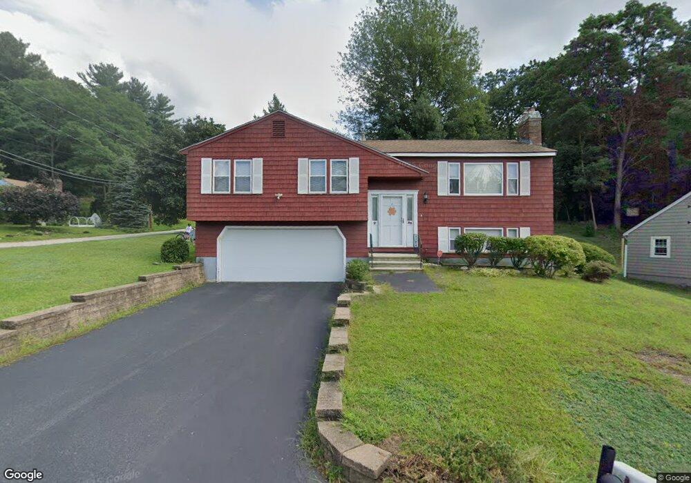
32 Pinehurst Ave Nashua, NH 03062
Southwest Nashua NeighborhoodEstimated Value: $480,935 - $560,000
3
Beds
2
Baths
1,316
Sq Ft
$403/Sq Ft
Est. Value
About This Home
This home is located at 32 Pinehurst Ave, Nashua, NH 03062 and is currently estimated at $530,234, approximately $402 per square foot. 32 Pinehurst Ave is a home located in Hillsborough County with nearby schools including Bicentennial Elementary School, Fairgrounds Middle School, and Nashua High School South.
Ownership History
Date
Name
Owned For
Owner Type
Purchase Details
Closed on
Jun 23, 2008
Sold by
John Peddle Ft
Bought by
Roy Derek C and Mccarthy Nicole E
Current Estimated Value
Create a Home Valuation Report for This Property
The Home Valuation Report is an in-depth analysis detailing your home's value as well as a comparison with similar homes in the area
Home Values in the Area
Average Home Value in this Area
Purchase History
| Date | Buyer | Sale Price | Title Company |
|---|---|---|---|
| Roy Derek C | $255,000 | -- |
Source: Public Records
Mortgage History
| Date | Status | Borrower | Loan Amount |
|---|---|---|---|
| Open | Roy Derek C | $237,770 | |
| Closed | Roy Derek C | $241,172 | |
| Closed | Roy Derek C | $253,624 |
Source: Public Records
Tax History
| Year | Tax Paid | Tax Assessment Tax Assessment Total Assessment is a certain percentage of the fair market value that is determined by local assessors to be the total taxable value of land and additions on the property. | Land | Improvement |
|---|---|---|---|---|
| 2025 | $7,895 | $469,100 | $166,400 | $302,700 |
| 2024 | $7,459 | $469,100 | $166,400 | $302,700 |
| 2023 | $7,122 | $390,700 | $133,200 | $257,500 |
| 2022 | $7,060 | $390,700 | $133,200 | $257,500 |
| 2021 | $6,581 | $283,400 | $97,600 | $185,800 |
| 2020 | $6,326 | $279,800 | $97,600 | $182,200 |
| 2019 | $6,088 | $279,800 | $97,600 | $182,200 |
| 2018 | $5,935 | $279,800 | $97,600 | $182,200 |
| 2017 | $5,617 | $217,800 | $84,200 | $133,600 |
| 2016 | $5,460 | $217,800 | $84,200 | $133,600 |
| 2015 | $5,343 | $217,800 | $84,200 | $133,600 |
| 2014 | $5,238 | $217,800 | $84,200 | $133,600 |
Source: Public Records
Map
Nearby Homes
- 16 Emerson Rd
- 12 Oakdale Ave
- 3 Appaloosa Place
- 21 Clearview Dr
- 8 Collier Ct
- 22 Taschereau Blvd
- 4 Nightingale Rd
- 20 Nightingale Rd
- 2 Doncaster Dr
- 4 Chelsea Ct
- 154 Westwood Dr
- 1 Thompson Rd Unit 109
- 20 Salmon Brook Dr
- 25 E Dunstable Rd
- 70 Tenby Dr
- 2 Prestwick Trail Unit U8
- 2 Prestwick Trail Unit 2
- 6 Hayden St
- 23 Eastman St
- 5 Wilderness Dr
- 34 Pinehurst Ave
- 33 Pinehurst Ave
- 3 Wagon Trail
- 36 Pinehurst Ave
- 2 Wagon Trail
- 35 Pinehurst Ave
- 31 Pinehurst Ave
- 5 Wagon Trail
- 37 Pinehurst Ave
- 24 Pinehurst Ave
- 38 Pinehurst Ave
- 29 Pinehurst Ave
- 4 Wagon Trail
- 39 Pinehurst Ave
- 6 Wagon Trail
- 28 Raleigh Dr
- 7 Wagon Trail
- 26 Raleigh Dr
- 30 Raleigh Dr
- 3 Emerson Rd
Your Personal Tour Guide
Ask me questions while you tour the home.