32 Primrose Ln Freeport, ME 04032
Estimated Value: $1,018,000 - $1,465,000
4
Beds
4
Baths
3,242
Sq Ft
$401/Sq Ft
Est. Value
About This Home
This home is located at 32 Primrose Ln, Freeport, ME 04032 and is currently estimated at $1,301,318, approximately $401 per square foot. 32 Primrose Ln is a home with nearby schools including Morse Street School, Mast Landing School, and Freeport Middle School.
Create a Home Valuation Report for This Property
The Home Valuation Report is an in-depth analysis detailing your home's value as well as a comparison with similar homes in the area
Home Values in the Area
Average Home Value in this Area
Tax History Compared to Growth
Tax History
| Year | Tax Paid | Tax Assessment Tax Assessment Total Assessment is a certain percentage of the fair market value that is determined by local assessors to be the total taxable value of land and additions on the property. | Land | Improvement |
|---|---|---|---|---|
| 2024 | $12,469 | $934,000 | $282,100 | $651,900 |
| 2023 | $11,308 | $822,400 | $256,400 | $566,000 |
| 2022 | $10,872 | $796,500 | $230,500 | $566,000 |
| 2021 | $10,635 | $796,600 | $230,500 | $566,100 |
| 2020 | $10,174 | $726,700 | $201,800 | $524,900 |
| 2019 | $9,784 | $684,200 | $190,400 | $493,800 |
| 2018 | $9,755 | $648,200 | $186,100 | $462,100 |
| 2017 | $9,308 | $622,600 | $181,700 | $440,900 |
| 2016 | $8,974 | $568,000 | $164,500 | $403,500 |
| 2015 | $8,959 | $533,300 | $150,500 | $382,800 |
| 2014 | $8,426 | $533,300 | $150,500 | $382,800 |
| 2013 | $8,263 | $521,300 | $148,400 | $372,900 |
Source: Public Records
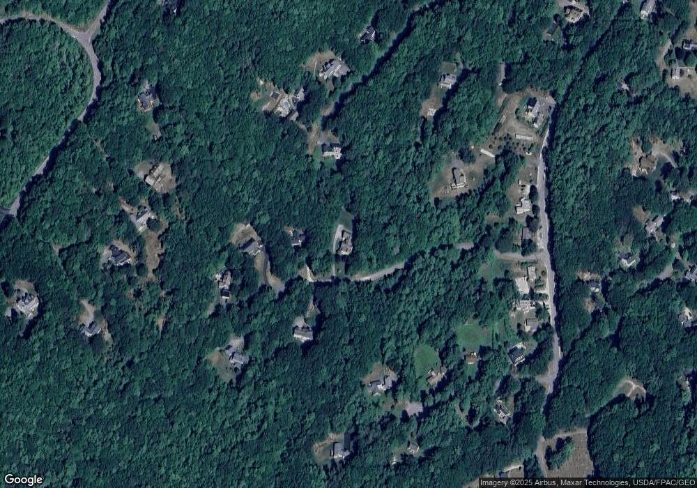
Map
Nearby Homes
- 26 Harvest Ridge Rd Unit 24
- 1612 U S Route 1
- 31 Sequoia Dr
- 15 Percy St
- 15 Sequoia Dr
- 10 Durham Rd
- 212 Main St
- 11 Orchard Hill Rd
- 42 Durham Rd
- 71 Merganser Way
- 304 Pownal Rd
- 241 Bluff Rd Unit 4
- 203 Bluff Rd Unit 13
- 393 E Main St
- 247 Ledge Rd
- 20 Blueberry Cove Rd Unit 20
- 8 Statler Ln
- 149 E Main St Unit 7
- 52 Blueberry Cove Rd Unit 52
- 62 Blueberry Cove Rd Unit 62