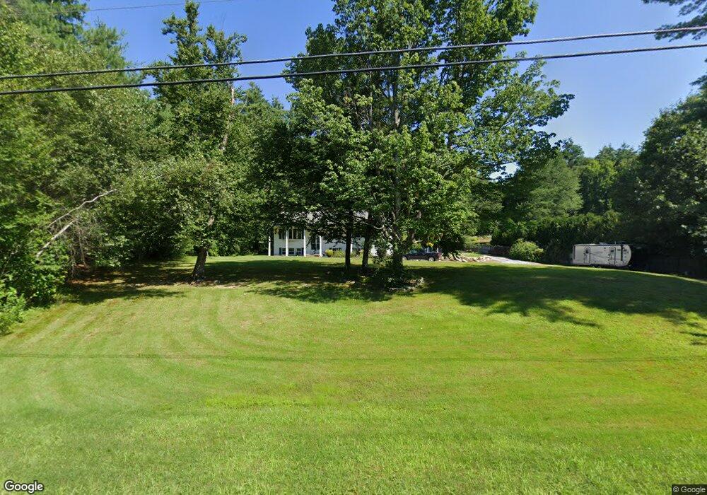
32 Range Rd Goffstown, NH 03045
Estimated Value: $488,401 - $594,000
3
Beds
2
Baths
1,456
Sq Ft
$376/Sq Ft
Est. Value
About This Home
This home is located at 32 Range Rd, Goffstown, NH 03045 and is currently estimated at $547,600, approximately $376 per square foot. 32 Range Rd is a home with nearby schools including Mountain View Middle School and Goffstown High School.
Ownership History
Date
Name
Owned For
Owner Type
Purchase Details
Closed on
Jan 20, 1997
Sold by
Clark Jon A
Bought by
Wilhelmi Wilhelmi A and Wilhelmi Christina D
Current Estimated Value
Home Financials for this Owner
Home Financials are based on the most recent Mortgage that was taken out on this home.
Original Mortgage
$108,200
Interest Rate
7.36%
Purchase Details
Closed on
Nov 1, 1996
Sold by
Christian Ronald L and Christian Mary Ellen
Bought by
First Natl Bk Of Bosto
Create a Home Valuation Report for This Property
The Home Valuation Report is an in-depth analysis detailing your home's value as well as a comparison with similar homes in the area
Home Values in the Area
Average Home Value in this Area
Purchase History
| Date | Buyer | Sale Price | Title Company |
|---|---|---|---|
| Wilhelmi Wilhelmi A | $109,900 | -- | |
| First Natl Bk Of Bosto | $95,400 | -- |
Source: Public Records
Mortgage History
| Date | Status | Borrower | Loan Amount |
|---|---|---|---|
| Open | First Natl Bk Of Bosto | $148,000 | |
| Closed | First Natl Bk Of Bosto | $35,000 | |
| Closed | First Natl Bk Of Bosto | $108,200 |
Source: Public Records
Tax History
| Year | Tax Paid | Tax Assessment Tax Assessment Total Assessment is a certain percentage of the fair market value that is determined by local assessors to be the total taxable value of land and additions on the property. | Land | Improvement |
|---|---|---|---|---|
| 2025 | $9,473 | $453,700 | $210,200 | $243,500 |
| 2024 | $9,274 | $453,700 | $210,200 | $243,500 |
| 2023 | $8,557 | $453,700 | $210,200 | $243,500 |
| 2022 | $7,859 | $298,700 | $138,600 | $160,100 |
| 2021 | $7,391 | $297,800 | $138,600 | $159,200 |
| 2020 | $7,391 | $297,800 | $138,600 | $159,200 |
| 2019 | $7,320 | $297,800 | $138,600 | $159,200 |
| 2018 | $5,539 | $297,800 | $138,600 | $159,200 |
| 2017 | $7,280 | $265,500 | $115,100 | $150,400 |
| 2016 | $7,017 | $265,500 | $115,100 | $150,400 |
| 2015 | $6,829 | $242,500 | $107,700 | $134,800 |
| 2014 | $6,548 | $242,500 | $107,700 | $134,800 |
Source: Public Records
Map
Nearby Homes
- 30 Horizon Dr
- 234 Paige Hill Rd
- 5D Dearborn Cir
- 144 S Mast St
- 140 S Mast St
- 120 S Mast St
- 9 Maple Ave
- 47 E Union St
- 30 Ledgewood Dr
- 19 My Way
- 179 Donald Dr
- 10 Autumn St
- 73 River Ledge Dr
- 0 Mast Rd Unit 49 5054665
- 211 Woodview Way
- 0 Fairway Dr Unit 11
- 500 E Dunbarton Rd
- 264 Woodview Way
- 109 Woodview Way
- 25 Forestedge Way Unit 25
Your Personal Tour Guide
Ask me questions while you tour the home.