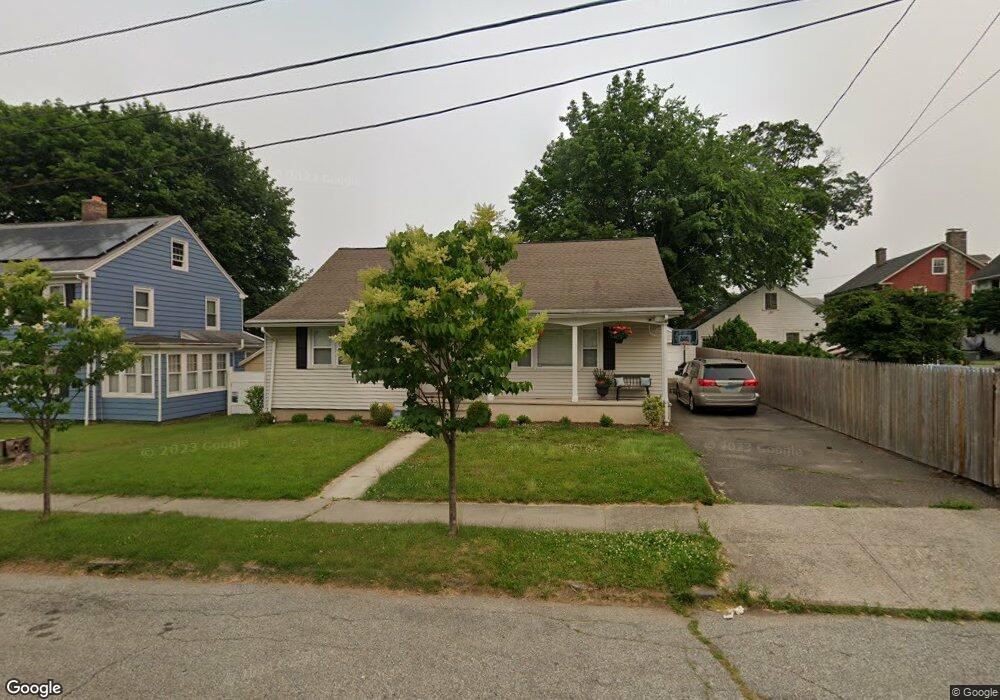
32 Redding Place Bridgeport, CT 06604
Brooklawn-Saint Vincent NeighborhoodEstimated Value: $300,000 - $461,000
2
Beds
1
Bath
1,234
Sq Ft
$334/Sq Ft
Est. Value
About This Home
This home is located at 32 Redding Place, Bridgeport, CT 06604 and is currently estimated at $411,810, approximately $333 per square foot. 32 Redding Place is a home located in Fairfield County with nearby schools including Blackham School, Central High School, and Catholic Academy of Bridgeport-St. Raphael Academy.
Ownership History
Date
Name
Owned For
Owner Type
Purchase Details
Closed on
Jun 15, 2010
Sold by
Scheef Harry F and Scheef Tracey A
Bought by
Rowley Chris Michael and Rowley Kelly L
Current Estimated Value
Home Financials for this Owner
Home Financials are based on the most recent Mortgage that was taken out on this home.
Original Mortgage
$137,500
Outstanding Balance
$92,784
Interest Rate
5.11%
Estimated Equity
$319,026
Purchase Details
Closed on
Oct 28, 1997
Sold by
Schultz William F
Bought by
Scheef Harry F and Scheef Tracy A
Home Financials for this Owner
Home Financials are based on the most recent Mortgage that was taken out on this home.
Original Mortgage
$60,000
Interest Rate
7.48%
Mortgage Type
Unknown
Create a Home Valuation Report for This Property
The Home Valuation Report is an in-depth analysis detailing your home's value as well as a comparison with similar homes in the area
Home Values in the Area
Average Home Value in this Area
Purchase History
| Date | Buyer | Sale Price | Title Company |
|---|---|---|---|
| Rowley Chris Michael | $155,000 | -- | |
| Rowley Chris Michael | $155,000 | -- | |
| Scheef Harry F | $85,000 | -- | |
| Scheef Harry F | $85,000 | -- |
Source: Public Records
Mortgage History
| Date | Status | Borrower | Loan Amount |
|---|---|---|---|
| Open | Scheef Harry F | $137,500 | |
| Closed | Scheef Harry F | $137,500 | |
| Previous Owner | Scheef Harry F | $60,000 |
Source: Public Records
Tax History
| Year | Tax Paid | Tax Assessment Tax Assessment Total Assessment is a certain percentage of the fair market value that is determined by local assessors to be the total taxable value of land and additions on the property. | Land | Improvement |
|---|---|---|---|---|
| 2025 | $8,177 | $188,200 | $78,500 | $109,700 |
| 2024 | $8,177 | $188,200 | $78,500 | $109,700 |
| 2023 | $8,177 | $188,200 | $78,500 | $109,700 |
| 2022 | $8,177 | $188,200 | $78,500 | $109,700 |
| 2021 | $8,177 | $188,200 | $78,500 | $109,700 |
| 2020 | $6,965 | $129,010 | $47,560 | $81,450 |
| 2019 | $6,965 | $129,010 | $47,560 | $81,450 |
| 2018 | $7,014 | $129,010 | $47,560 | $81,450 |
| 2017 | $7,014 | $129,010 | $47,560 | $81,450 |
| 2016 | $6,232 | $114,620 | $47,560 | $67,060 |
| 2015 | $5,977 | $141,630 | $52,760 | $88,870 |
| 2014 | $5,977 | $141,630 | $52,760 | $88,870 |
Source: Public Records
Map
Nearby Homes
- 2078 Park Ave Unit 2082
- 493 W Taft Ave
- 1285 Norman St
- 523 W Jackson Ave
- 100 Lorraine St
- 660 W Jackson Ave
- 61 Astoria Ave
- 1515 Capitol Ave Unit 1517
- 1522 North Ave
- 366 Brooklawn Ave
- 23-25 Morgan Ave
- 1406 Wood Ave
- 30-32 Pacific St
- 1440 Wood Ave
- 35 Querida St
- 84 Algonquin Rd
- 91 Algonquin Rd
- 391 Coleman St
- 85-89 Alexander Dr
- 2625 Park Ave Unit 9R
Your Personal Tour Guide
Ask me questions while you tour the home.