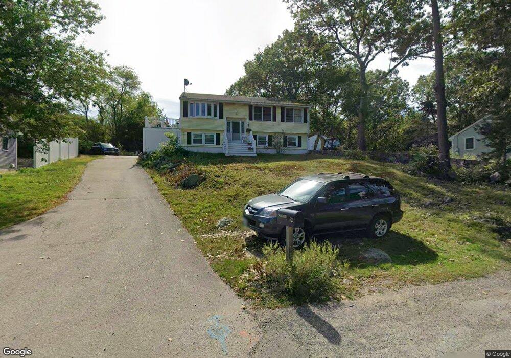
32 Riverview Rd Gloucester, MA 01930
Riverview NeighborhoodEstimated Value: $729,000 - $794,000
3
Beds
2
Baths
984
Sq Ft
$779/Sq Ft
Est. Value
About This Home
This home is located at 32 Riverview Rd, Gloucester, MA 01930 and is currently estimated at $766,409, approximately $778 per square foot. 32 Riverview Rd is a home located in Essex County with nearby schools including Beeman Memorial, Ralph B O'maley Middle School, and Gloucester High School.
Ownership History
Date
Name
Owned For
Owner Type
Purchase Details
Closed on
Jul 25, 2005
Sold by
Fisher Paul W and Fisher Susan M
Bought by
Frontiero Paul F and Frontiero Catherine M
Current Estimated Value
Home Financials for this Owner
Home Financials are based on the most recent Mortgage that was taken out on this home.
Original Mortgage
$284,000
Outstanding Balance
$147,580
Interest Rate
5.59%
Mortgage Type
Purchase Money Mortgage
Estimated Equity
$618,829
Purchase Details
Closed on
Jun 28, 1991
Sold by
Lewis Carl D and Lewis Margaret
Bought by
Fisher Paul W and Fisher Susan M
Create a Home Valuation Report for This Property
The Home Valuation Report is an in-depth analysis detailing your home's value as well as a comparison with similar homes in the area
Home Values in the Area
Average Home Value in this Area
Purchase History
| Date | Buyer | Sale Price | Title Company |
|---|---|---|---|
| Frontiero Paul F | $355,000 | -- | |
| Fisher Paul W | $150,000 | -- |
Source: Public Records
Mortgage History
| Date | Status | Borrower | Loan Amount |
|---|---|---|---|
| Open | Fisher Paul W | $50,000 | |
| Open | Fisher Paul W | $284,000 |
Source: Public Records
Tax History
| Year | Tax Paid | Tax Assessment Tax Assessment Total Assessment is a certain percentage of the fair market value that is determined by local assessors to be the total taxable value of land and additions on the property. | Land | Improvement |
|---|---|---|---|---|
| 2025 | $5,883 | $605,200 | $269,100 | $336,100 |
| 2024 | $5,957 | $612,200 | $256,200 | $356,000 |
| 2023 | $5,644 | $533,000 | $228,800 | $304,200 |
| 2022 | $5,243 | $447,000 | $194,500 | $252,500 |
| 2021 | $5,125 | $412,000 | $176,800 | $235,200 |
| 2020 | $4,900 | $397,400 | $176,800 | $220,600 |
| 2019 | $4,947 | $389,800 | $176,800 | $213,000 |
| 2018 | $4,713 | $364,500 | $176,800 | $187,700 |
| 2017 | $4,470 | $338,900 | $168,400 | $170,500 |
| 2016 | $4,400 | $323,300 | $168,900 | $154,400 |
| 2015 | $4,247 | $311,100 | $168,900 | $142,200 |
Source: Public Records
Map
Nearby Homes
- 13 Honeysuckle Rd
- 3 Deacon Farm Ln
- 31 Echo Ave
- 2 Breezy Point Rd
- 6 Monroe Ct
- 13 Mystic Ave
- 5 Samoset Rd Unit B
- 145 Essex Ave Unit 402
- 8 Mystic Ave
- 167 Atlantic St
- 24 Cobblestone Ln Unit 603
- 98 Maplewood Ave
- 5 Lepage Ln
- 178 Atlantic St
- 15 Harvard St
- 9 Cleveland Place
- 12 Arthur St
- 40 Sargent St
- 672 Washington St
- 20 Beacon St
- 34 Riverview Rd
- 33 Riverview Rd
- 35 Riverview Rd
- 29 Riverview Rd
- 30 Riverview Rd
- 31 Riverview Way
- 35 Riverview Rd
- 3 Tidal Cove Way
- 38 Riverview Rd Unit 1
- 40 Riverview Rd
- 38 Riverview Rd
- 41 Riverview Rd Unit 2
- 41 Riverview Rd Unit 1
- 41 Riverview Rd
- 42 Riverview Rd
- 43 Riverview Rd Unit 1
- 10 Tidal Cove Way Unit 10
- 36 Riverview Rd Unit 36R
- 36 Riverview Rd
- 45 Riverview Rd
Your Personal Tour Guide
Ask me questions while you tour the home.