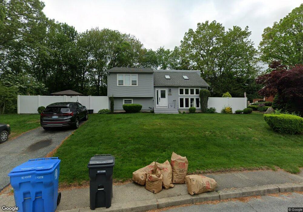
32 Robin Hood Rd Cranston, RI 02921
Thornton NeighborhoodEstimated Value: $427,000 - $465,000
2
Beds
1
Bath
920
Sq Ft
$480/Sq Ft
Est. Value
About This Home
This home is located at 32 Robin Hood Rd, Cranston, RI 02921 and is currently estimated at $441,884, approximately $480 per square foot. 32 Robin Hood Rd is a home located in Providence County with nearby schools including Stone Hill School, Western Hills Middle School, and Cranston High School West.
Ownership History
Date
Name
Owned For
Owner Type
Purchase Details
Closed on
Mar 22, 1996
Sold by
Cragan Peter J and Cragan Katherine
Bought by
Izzi David L and Izzi Jennifer
Current Estimated Value
Home Financials for this Owner
Home Financials are based on the most recent Mortgage that was taken out on this home.
Original Mortgage
$90,000
Interest Rate
6.99%
Create a Home Valuation Report for This Property
The Home Valuation Report is an in-depth analysis detailing your home's value as well as a comparison with similar homes in the area
Home Values in the Area
Average Home Value in this Area
Purchase History
| Date | Buyer | Sale Price | Title Company |
|---|---|---|---|
| Izzi David L | $107,000 | -- |
Source: Public Records
Mortgage History
| Date | Status | Borrower | Loan Amount |
|---|---|---|---|
| Open | Izzi David L | $50,000 | |
| Closed | Izzi David L | $10,000 | |
| Closed | Izzi David L | $90,000 |
Source: Public Records
Tax History
| Year | Tax Paid | Tax Assessment Tax Assessment Total Assessment is a certain percentage of the fair market value that is determined by local assessors to be the total taxable value of land and additions on the property. | Land | Improvement |
|---|---|---|---|---|
| 2025 | $5,374 | $387,200 | $145,200 | $242,000 |
| 2024 | $5,270 | $387,200 | $145,200 | $242,000 |
| 2023 | $5,156 | $272,800 | $103,900 | $168,900 |
| 2022 | $5,050 | $272,800 | $103,900 | $168,900 |
| 2021 | $4,910 | $272,800 | $103,900 | $168,900 |
| 2020 | $4,947 | $238,200 | $103,900 | $134,300 |
| 2019 | $4,947 | $238,200 | $103,900 | $134,300 |
| 2018 | $4,833 | $238,200 | $103,900 | $134,300 |
| 2017 | $4,423 | $192,800 | $89,000 | $103,800 |
| 2016 | $4,328 | $192,800 | $89,000 | $103,800 |
| 2015 | $4,328 | $192,800 | $89,000 | $103,800 |
| 2014 | $4,228 | $185,100 | $85,300 | $99,800 |
Source: Public Records
Map
Nearby Homes
- 17 Woodview Dr
- 25 Janet Dr
- 20 Doreen Ct
- 1757 Plainfield Pike
- 244 Stony Acre Dr
- 65 Janet Dr
- 95 Amy Dr
- 27 Nardolillo St
- 1603 Plainfield Pike Unit G8
- 1603 Plainfield Pike Unit A2
- 105 Amy Dr
- 20 Woodland Ave
- 1 Roblyn Dr
- 0 Macera Dr
- 9 Baker St
- 129 Simmonsville Ave
- 141 Fox Ridge Dr
- 5 Deluca St
- 0 Plainfield Pike Unit 1374314
- 16 Shaw Ave
- 38 Robin Hood Rd
- 26 Robin Hood Rd
- 125 Elton Cir
- 135 Elton Cir
- 121 Elton Cir
- 143 Elton Cir
- 44 Robin Hood Rd
- 29 Robin Hood Rd
- 35 Robin Hood Rd
- 77 Pheasant Dr
- 111 Elton Cir
- 23 Robin Hood Rd
- 149 Elton Cir
- 20 Robin Hood Rd
- 43 Robin Hood Rd
- 9 Pheasant Ct
- 15 Robin Hood Rd
- 140 Elton Cir
- 144 Elton Cir
- 101 Pheasant Dr
Your Personal Tour Guide
Ask me questions while you tour the home.