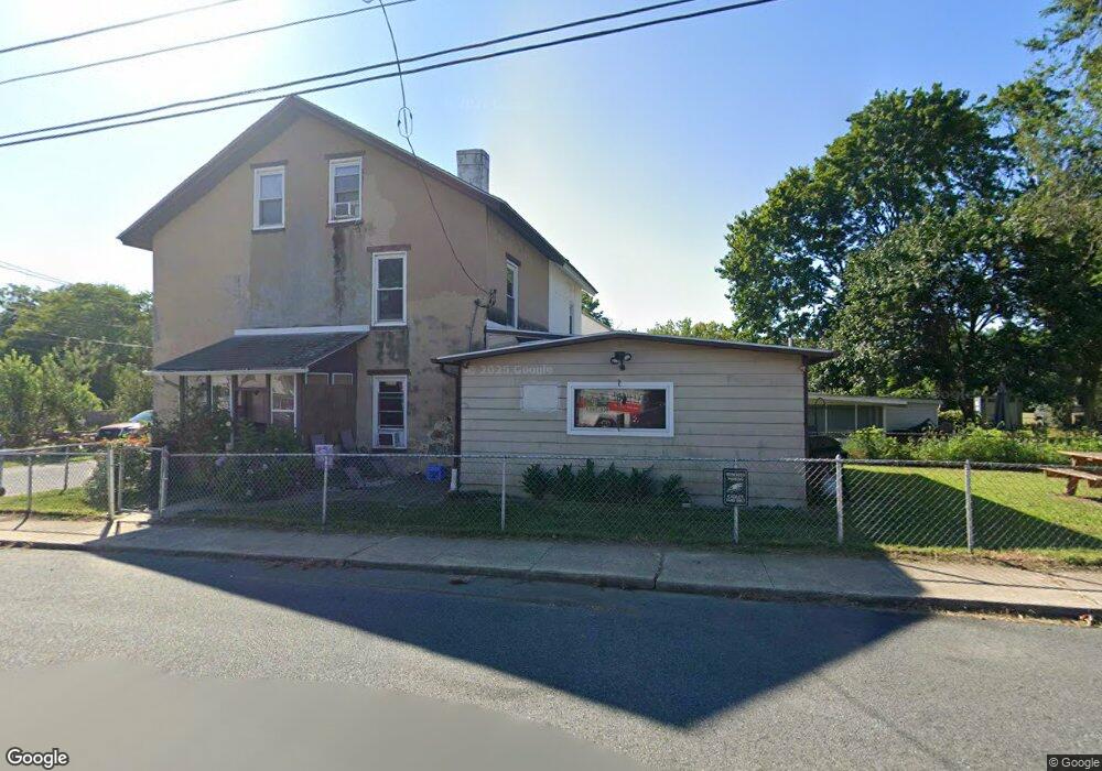
32 Rolling Mill Ln North East, MD 21901
Estimated Value: $130,000 - $224,000
3
Beds
1
Bath
1,695
Sq Ft
$107/Sq Ft
Est. Value
About This Home
This home is located at 32 Rolling Mill Ln, North East, MD 21901 and is currently estimated at $180,814, approximately $106 per square foot. 32 Rolling Mill Ln is a home located in Cecil County with nearby schools including North East Elementary School, North East Middle School, and North East High School.
Ownership History
Date
Name
Owned For
Owner Type
Purchase Details
Closed on
Mar 8, 2014
Sold by
Sexton Steve and Sexton Sandra
Bought by
Sexton Steve
Current Estimated Value
Purchase Details
Closed on
Oct 22, 2010
Sold by
Us Bank National Association
Bought by
Sexton Steve and Sexton Sandra
Purchase Details
Closed on
Jun 15, 2010
Sold by
Lorden Shirley
Bought by
Us Bank National Association
Purchase Details
Closed on
Oct 9, 1992
Sold by
Manley Betty Jacqueline
Bought by
Lorden Shirley
Home Financials for this Owner
Home Financials are based on the most recent Mortgage that was taken out on this home.
Original Mortgage
$27,500
Interest Rate
8.01%
Create a Home Valuation Report for This Property
The Home Valuation Report is an in-depth analysis detailing your home's value as well as a comparison with similar homes in the area
Home Values in the Area
Average Home Value in this Area
Purchase History
| Date | Buyer | Sale Price | Title Company |
|---|---|---|---|
| Sexton Steve | -- | None Available | |
| Sexton Steve | $23,625 | -- | |
| Us Bank National Association | $114,750 | -- | |
| Lorden Shirley | $43,000 | -- |
Source: Public Records
Mortgage History
| Date | Status | Borrower | Loan Amount |
|---|---|---|---|
| Previous Owner | Lorden Shirley | $27,500 |
Source: Public Records
Tax History Compared to Growth
Tax History
| Year | Tax Paid | Tax Assessment Tax Assessment Total Assessment is a certain percentage of the fair market value that is determined by local assessors to be the total taxable value of land and additions on the property. | Land | Improvement |
|---|---|---|---|---|
| 2025 | $2,198 | $118,333 | $0 | $0 |
| 2024 | $2,083 | $111,867 | $0 | $0 |
| 2023 | $1,979 | $105,400 | $38,900 | $66,500 |
| 2022 | $1,902 | $101,367 | $0 | $0 |
| 2021 | $1,795 | $97,333 | $0 | $0 |
| 2020 | $1,730 | $93,300 | $29,500 | $63,800 |
| 2019 | $1,730 | $93,300 | $29,500 | $63,800 |
| 2018 | $1,724 | $93,300 | $29,500 | $63,800 |
| 2017 | $1,768 | $96,300 | $0 | $0 |
| 2016 | $1,666 | $96,133 | $0 | $0 |
| 2015 | $1,666 | $95,967 | $0 | $0 |
| 2014 | $1,865 | $95,800 | $0 | $0 |
Source: Public Records
Map
Nearby Homes
- parcel # 66 Rolling Mill Ln
- 511 Deans Bank Rd
- 14 Mallory Way Unit WYNDHAM
- 0 Pulaski Hwy
- 2515 Pulaski Hwy
- 15 S Mauldin Ave
- 62 Rehill Ave
- 0 Mallory Way Unit MDCC2003990
- 0 Mallory Way Unit MDCC169342
- 51 Hickory Dr
- 13 Forest Dr
- 57 Falls Rd
- 122 NE Isle Dr
- 144 NE Isles Dr Unit 95A
- 653 Mechanics Valley Rd
- 73 NE Isle Dr
- 21 Goldspire Dr
- 6 Colonial Cir
- 206 Magnolia Dr
- 3 Goldspire Dr
- 102 Pennsylvania Ave
- 30 Rolling Mill Ln
- 106 Pennsylvania Ave
- 28 Rolling Mill Ln
- 0 Pennsylvania Ave
- 26 Rolling Mill Ln
- 301 Pennsylvania Ave
- 35 Rolling Mill Ln
- 24 Rolling Mill Ln
- 66 Rolling Mill Ln
- 19 Rolling Mill Ln
- 22 Rolling Mill Ln
- 20 Rolling Mill Ln
- 108 Pennsylvania Ave
- 110 Pennsylvania Ave
- 0 Rolling Mill Ln
- 18 Rolling Mill Ln
- 114 Pennsylvania Ave
- 16 Rolling Mill Ln
- 14 Rolling Mill Ln