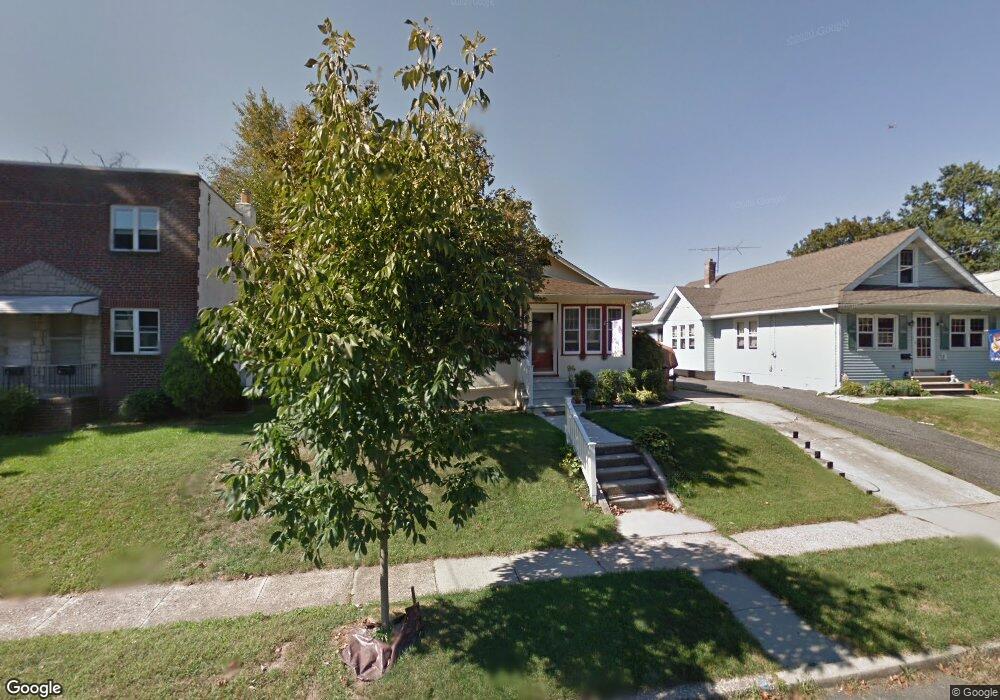
32 S Barrett Ave Audubon, NJ 08106
Estimated Value: $366,000 - $417,000
--
Bed
--
Bath
1,287
Sq Ft
$298/Sq Ft
Est. Value
About This Home
This home is located at 32 S Barrett Ave, Audubon, NJ 08106 and is currently estimated at $383,677, approximately $298 per square foot. 32 S Barrett Ave is a home located in Camden County with nearby schools including Haviland Avenue School, Mansion Avenue School, and Audubon Junior/Senior High School.
Ownership History
Date
Name
Owned For
Owner Type
Purchase Details
Closed on
Jul 29, 2005
Sold by
Adams Joseph Lee
Bought by
Kindya James M and Kindya Lynanne
Current Estimated Value
Home Financials for this Owner
Home Financials are based on the most recent Mortgage that was taken out on this home.
Original Mortgage
$205,300
Outstanding Balance
$107,639
Interest Rate
5.63%
Mortgage Type
VA
Estimated Equity
$276,038
Purchase Details
Closed on
Jun 29, 2000
Sold by
Flynn Joseph
Bought by
Adams Joseph Lee and Adams Rachel N
Home Financials for this Owner
Home Financials are based on the most recent Mortgage that was taken out on this home.
Original Mortgage
$88,350
Interest Rate
8.5%
Purchase Details
Closed on
Jun 28, 1996
Sold by
Otterson James L
Bought by
Flynn Joseph
Home Financials for this Owner
Home Financials are based on the most recent Mortgage that was taken out on this home.
Original Mortgage
$80,000
Interest Rate
8.28%
Create a Home Valuation Report for This Property
The Home Valuation Report is an in-depth analysis detailing your home's value as well as a comparison with similar homes in the area
Home Values in the Area
Average Home Value in this Area
Purchase History
| Date | Buyer | Sale Price | Title Company |
|---|---|---|---|
| Kindya James M | $201,000 | -- | |
| Adams Joseph Lee | $93,000 | -- | |
| Flynn Joseph | $84,500 | -- |
Source: Public Records
Mortgage History
| Date | Status | Borrower | Loan Amount |
|---|---|---|---|
| Open | Kindya James M | $205,300 | |
| Previous Owner | Adams Joseph Lee | $88,350 | |
| Previous Owner | Flynn Joseph | $80,000 |
Source: Public Records
Tax History Compared to Growth
Tax History
| Year | Tax Paid | Tax Assessment Tax Assessment Total Assessment is a certain percentage of the fair market value that is determined by local assessors to be the total taxable value of land and additions on the property. | Land | Improvement |
|---|---|---|---|---|
| 2025 | $7,368 | $182,500 | $80,000 | $102,500 |
| 2024 | $7,123 | $182,500 | $80,000 | $102,500 |
| 2023 | $7,123 | $182,500 | $80,000 | $102,500 |
| 2022 | $6,933 | $182,500 | $80,000 | $102,500 |
| 2021 | $6,645 | $182,500 | $80,000 | $102,500 |
| 2020 | $6,581 | $182,500 | $80,000 | $102,500 |
| 2019 | $6,493 | $182,500 | $80,000 | $102,500 |
| 2018 | $6,413 | $182,500 | $80,000 | $102,500 |
| 2017 | $6,280 | $182,500 | $80,000 | $102,500 |
| 2016 | $6,116 | $182,500 | $80,000 | $102,500 |
| 2015 | $5,917 | $182,500 | $80,000 | $102,500 |
| 2014 | $5,860 | $182,500 | $80,000 | $102,500 |
Source: Public Records
Map
Nearby Homes
- 310 Cuthbert Blvd
- 21 N Davis Ave
- 138 S Haviland Ave
- 130 E Cedar Ave
- 137 E Holly Ave
- 117 E Holly Ave
- 229 S Lecato Ave
- 24 E Holly Ave
- 208 E Pine St
- 219 Lafayette Rd
- 49 E Greenwood Ave
- 112 W Merchant St
- 50 E Collingswood Ave
- 256 S White Horse Pike
- 506 Oaklawn Ave
- 501 Rhoads Ave
- 16 W Greenwood Ave
- 268 Buckner Ave
- 110 Beloit Ave
- 28 W Greenwood Ave
- 28 S Barrett Ave
- 36 S Barrett Ave
- 24 S Barrett Ave
- 40 S Barrett Ave
- 31 S Davis Ave
- 20 S Barrett Ave
- 27 S Davis Ave
- 39 S Davis Ave
- 16 S Barrett Ave
- 31 S Barrett Ave
- 21 S Davis Ave
- 35 S Barrett Ave
- 27 S Barrett Ave
- 39 S Barrett Ave
- 23 S Barrett Ave
- 102 S Barrett Ave
- 17 S Davis Ave
- 12 S Barrett Ave
- 19 S Barrett Ave
- 11 S Davis Ave