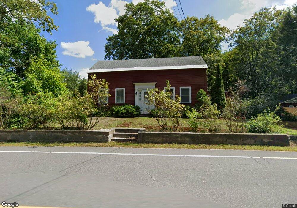
32 S Main St Brookline, NH 03033
Estimated Value: $456,000 - $501,000
3
Beds
1
Bath
1,849
Sq Ft
$262/Sq Ft
Est. Value
About This Home
This home is located at 32 S Main St, Brookline, NH 03033 and is currently estimated at $485,164, approximately $262 per square foot. 32 S Main St is a home with nearby schools including Richard Maghakian Memorial School, Captain Samuel Douglass Academy, and Hollis-Brookline Middle School.
Ownership History
Date
Name
Owned For
Owner Type
Purchase Details
Closed on
Aug 8, 2024
Sold by
Roth Nancy J Est and Greib
Bought by
Moran Kevin P and Moran Samantha R
Current Estimated Value
Home Financials for this Owner
Home Financials are based on the most recent Mortgage that was taken out on this home.
Original Mortgage
$298,000
Outstanding Balance
$294,621
Interest Rate
6.86%
Mortgage Type
Purchase Money Mortgage
Estimated Equity
$190,543
Create a Home Valuation Report for This Property
The Home Valuation Report is an in-depth analysis detailing your home's value as well as a comparison with similar homes in the area
Home Values in the Area
Average Home Value in this Area
Purchase History
| Date | Buyer | Sale Price | Title Company |
|---|---|---|---|
| Moran Kevin P | $460,000 | None Available | |
| Moran Kevin P | $460,000 | None Available |
Source: Public Records
Mortgage History
| Date | Status | Borrower | Loan Amount |
|---|---|---|---|
| Open | Moran Kevin P | $298,000 | |
| Closed | Moran Kevin P | $298,000 |
Source: Public Records
Tax History Compared to Growth
Tax History
| Year | Tax Paid | Tax Assessment Tax Assessment Total Assessment is a certain percentage of the fair market value that is determined by local assessors to be the total taxable value of land and additions on the property. | Land | Improvement |
|---|---|---|---|---|
| 2024 | $8,974 | $396,900 | $190,600 | $206,300 |
| 2023 | $8,248 | $396,900 | $190,600 | $206,300 |
| 2022 | $7,442 | $250,400 | $109,100 | $141,300 |
| 2021 | $7,156 | $250,400 | $109,100 | $141,300 |
| 2020 | $6,961 | $250,400 | $109,100 | $141,300 |
| 2019 | $7,479 | $250,400 | $109,100 | $141,300 |
| 2018 | $6,402 | $250,400 | $109,100 | $141,300 |
| 2017 | $6,292 | $191,000 | $88,200 | $102,800 |
| 2016 | $6,222 | $191,100 | $88,200 | $102,900 |
| 2015 | $5,934 | $191,100 | $88,200 | $102,900 |
| 2014 | $6,278 | $191,100 | $88,200 | $102,900 |
| 2013 | $6,044 | $191,100 | $88,200 | $102,900 |
Source: Public Records
Map
Nearby Homes
- 46 Oak Hill Rd
- 55 Oak Hill Rd
- 6 Flint Meadow Dr
- 6 High Oaks Path
- 22 Hobart Hill Rd
- 7 Winterberry Rd
- 9 Winterberry Rd
- 28A Rocky Pond Rd
- 364 Townsend Hill Rd
- 15 N End Rd
- 167 Route 13
- 21 Cranberry St
- 5 Carons Way
- 22 Austin Ln
- 143 Worcester Rd
- 179 Brookline St
- 93 Old Milford Rd
- 0 Brookline St
- 10 Boynton St
- 64 Meadow Rd
- 11 Stickney Brook Rd
- 9 Stickney Brook Rd
- 12 Stickney Brook Rd
- 7 Stickney Brook Rd
- 14 Stickney Brook Rd
- 6 Stickney Brook Rd
- 5 Stickney Brook Rd
- 10 Quigley Way
- 30 S Main St
- 32 So Main St
- 28 S Main St
- 12 Oak Hill Rd
- 4 Quigley Way
- 35 S Main St
- 37 S Main St
- 7 Oak Hill Rd
- 55 Route 13
- 55 Route 13
- 24 S Main St
- 9 Oak Hill Rd