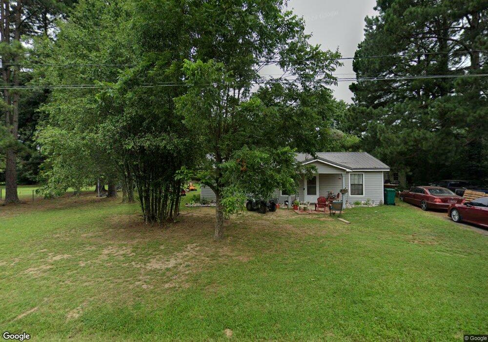
32 Sagewood Conway, AR 72032
Estimated Value: $131,000 - $160,567
Studio
2
Baths
1,032
Sq Ft
$141/Sq Ft
Est. Value
About This Home
This home is located at 32 Sagewood, Conway, AR 72032 and is currently estimated at $145,392, approximately $140 per square foot. 32 Sagewood is a home located in Faulkner County with nearby schools including Preston & Florence Mattison Elementary School, Bob Courtway Middle School, and Conway Junior High School.
Ownership History
Date
Name
Owned For
Owner Type
Purchase Details
Closed on
Aug 17, 2017
Sold by
Brock Darren O
Bought by
Brock Susan M
Current Estimated Value
Home Financials for this Owner
Home Financials are based on the most recent Mortgage that was taken out on this home.
Original Mortgage
$74,747
Outstanding Balance
$62,371
Interest Rate
3.96%
Mortgage Type
New Conventional
Estimated Equity
$83,021
Purchase Details
Closed on
Jun 14, 1999
Bought by
Kevin Fowler
Create a Home Valuation Report for This Property
The Home Valuation Report is an in-depth analysis detailing your home's value as well as a comparison with similar homes in the area
Home Values in the Area
Average Home Value in this Area
Purchase History
| Date | Buyer | Sale Price | Title Company |
|---|---|---|---|
| Brock Susan M | -- | None Available | |
| Brock Susan M | $74,000 | Faulkner County Title | |
| Kevin Fowler | -- | -- |
Source: Public Records
Mortgage History
| Date | Status | Borrower | Loan Amount |
|---|---|---|---|
| Open | Brock Susan M | $74,747 |
Source: Public Records
Tax History
| Year | Tax Paid | Tax Assessment Tax Assessment Total Assessment is a certain percentage of the fair market value that is determined by local assessors to be the total taxable value of land and additions on the property. | Land | Improvement |
|---|---|---|---|---|
| 2025 | $691 | $18,270 | $2,400 | $15,870 |
| 2024 | $660 | $18,270 | $2,400 | $15,870 |
| 2023 | $628 | $14,600 | $2,400 | $12,200 |
| 2022 | $276 | $14,600 | $2,400 | $12,200 |
| 2021 | $234 | $14,600 | $2,400 | $12,200 |
| 2020 | $206 | $11,770 | $2,400 | $9,370 |
| 2019 | $206 | $11,770 | $2,400 | $9,370 |
| 2018 | $231 | $11,770 | $2,400 | $9,370 |
| 2017 | $231 | $0 | $0 | $0 |
| 2016 | $231 | $11,770 | $2,400 | $9,370 |
| 2015 | $548 | $11,800 | $2,400 | $9,400 |
| 2014 | $233 | $11,800 | $2,400 | $9,400 |
Source: Public Records
Map
Nearby Homes
- 14 Summerland Ct
- Tract 4 Rooster Rd
- Tract 6 Rooster Rd
- Tract 5 Rooster Rd
- Tract 12 Rooster Rd
- Tract 9 Rooster Rd
- 000 Rooster Rd
- 604 Lower Ridge Rd
- 3470 Bentonville
- 3420 Bentonville
- 3400 Perryville Dr
- 3400 Appomattox Dr
- 3335 Antietam Dr
- 000 Malvern Hills Dr
- 40 Haley Cir
- 407 Middle Rd
- 278-I U S Highway 64
- 278-H U S Highway 64
- 278 Hwy 64 E
- 278 C U S Highway 64 E