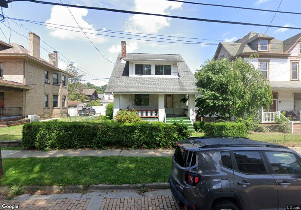
32 Sampson St Pittsburgh, PA 15205
Estimated Value: $180,000 - $197,000
3
Beds
2
Baths
1,364
Sq Ft
$139/Sq Ft
Est. Value
About This Home
This home is located at 32 Sampson St, Pittsburgh, PA 15205 and is currently estimated at $189,232, approximately $138 per square foot. 32 Sampson St is a home located in Allegheny County with nearby schools including David E. Williams Middle School, Montour Elementary School, and Montour High School.
Ownership History
Date
Name
Owned For
Owner Type
Purchase Details
Closed on
Sep 29, 2003
Sold by
Stambol George
Bought by
Herzing Joseph
Current Estimated Value
Home Financials for this Owner
Home Financials are based on the most recent Mortgage that was taken out on this home.
Original Mortgage
$83,000
Outstanding Balance
$38,945
Interest Rate
6.29%
Mortgage Type
New Conventional
Estimated Equity
$150,287
Purchase Details
Closed on
Apr 25, 2001
Sold by
Stambol Margaret Helen and Stambol George F
Bought by
Stambol George F and Shaver Janet
Create a Home Valuation Report for This Property
The Home Valuation Report is an in-depth analysis detailing your home's value as well as a comparison with similar homes in the area
Home Values in the Area
Average Home Value in this Area
Purchase History
| Date | Buyer | Sale Price | Title Company |
|---|---|---|---|
| Herzing Joseph | $87,000 | -- | |
| Stambol George F | -- | -- |
Source: Public Records
Mortgage History
| Date | Status | Borrower | Loan Amount |
|---|---|---|---|
| Open | Herzing Joseph | $83,000 |
Source: Public Records
Tax History
| Year | Tax Paid | Tax Assessment Tax Assessment Total Assessment is a certain percentage of the fair market value that is determined by local assessors to be the total taxable value of land and additions on the property. | Land | Improvement |
|---|---|---|---|---|
| 2025 | $1,996 | $69,800 | $20,100 | $49,700 |
| 2024 | $1,996 | $69,800 | $20,100 | $49,700 |
| 2023 | $1,996 | $69,800 | $20,100 | $49,700 |
| 2022 | $1,996 | $69,800 | $20,100 | $49,700 |
| 2021 | $330 | $69,800 | $20,100 | $49,700 |
| 2020 | $1,996 | $69,800 | $20,100 | $49,700 |
| 2019 | $1,996 | $69,800 | $20,100 | $49,700 |
| 2017 | $1,996 | $69,800 | $20,100 | $49,700 |
Source: Public Records
Map
Nearby Homes
- 48 Sampson Ave
- 88 Evans Ave
- 0 Niles St
- 25 Vancouver Ave
- 27 Richmond St
- 2 Dakota St
- 16 Hodgson Ave
- 27 Danvers Ave
- 76 Warren St
- 3184 Ladoga St
- 20 Broadhead Ave
- 13 Marchmont St
- 12 Union Ave
- 2929 Middletown Rd
- 15 Warren St
- 3427 Clearfield St
- 74 E Crafton Ave
- 3253 Faronia St
- 125 Dinsmore Ave
- 69 N Emily St
Your Personal Tour Guide
Ask me questions while you tour the home.