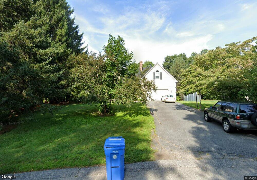
32 Sandy Way Cumberland, RI 02864
Cumberland Hill NeighborhoodEstimated Value: $885,502 - $985,000
4
Beds
4
Baths
4,136
Sq Ft
$224/Sq Ft
Est. Value
About This Home
This home is located at 32 Sandy Way, Cumberland, RI 02864 and is currently estimated at $927,626, approximately $224 per square foot. 32 Sandy Way is a home located in Providence County with nearby schools including Ashton Elementary School, North Cumberland Middle School, and Cumberland High School.
Ownership History
Date
Name
Owned For
Owner Type
Purchase Details
Closed on
Apr 30, 2004
Sold by
Mcclaughlin John R
Bought by
Waxgiser Brett
Current Estimated Value
Purchase Details
Closed on
Jan 9, 1989
Sold by
Sherwood Bldrs Inc
Bought by
Parisi Joseph
Create a Home Valuation Report for This Property
The Home Valuation Report is an in-depth analysis detailing your home's value as well as a comparison with similar homes in the area
Home Values in the Area
Average Home Value in this Area
Purchase History
We collect this data history from publicly available records. To have your information removed, we recommend requesting removal directly through your county’s website.
| Date | Buyer | Sale Price | Title Company |
|---|---|---|---|
| Waxgiser Brett | $480,000 | -- | |
| Parisi Joseph | $221,000 | -- |
Source: Public Records
Mortgage History
We collect this data history from publicly available records. To have your information removed, we recommend requesting removal directly through your county’s website.
| Date | Status | Borrower | Loan Amount |
|---|---|---|---|
| Open | Parisi Joseph | $333,500 | |
| Closed | Parisi Joseph | $335,000 | |
| Closed | Parisi Joseph | $30,000 |
Source: Public Records
Tax History
| Year | Tax Paid | Tax Assessment Tax Assessment Total Assessment is a certain percentage of the fair market value that is determined by local assessors to be the total taxable value of land and additions on the property. | Land | Improvement |
|---|---|---|---|---|
| 2025 | $8,696 | $708,700 | $198,500 | $510,200 |
| 2024 | $8,469 | $708,700 | $198,500 | $510,200 |
| 2023 | $8,235 | $708,700 | $198,500 | $510,200 |
| 2022 | $7,948 | $530,200 | $143,000 | $387,200 |
| 2021 | $7,815 | $530,200 | $143,000 | $387,200 |
| 2020 | $7,592 | $530,200 | $143,000 | $387,200 |
| 2019 | $7,765 | $489,000 | $131,500 | $357,500 |
| 2018 | $7,540 | $489,000 | $131,500 | $357,500 |
| 2017 | $7,438 | $489,000 | $131,500 | $357,500 |
| 2016 | $8,340 | $488,300 | $124,300 | $364,000 |
| 2015 | $8,340 | $488,300 | $124,300 | $364,000 |
| 2014 | $8,340 | $488,300 | $124,300 | $364,000 |
| 2013 | $7,189 | $455,600 | $126,400 | $329,200 |
Source: Public Records
Map
Nearby Homes
- 15 Green St
- 2970 Mendon Rd Unit 149
- 2970 Mendon Rd Unit 51
- 94 Kay St
- 200 Heroux Blvd Unit 903
- 200 Heroux Blvd Unit 205
- 200 Heroux Blvd Unit 1804
- 87 Evergreen St
- 400 New River Rd Unit 311
- 400 New River Rd Unit 111
- 400 New River Rd Unit 704
- 3288 Mendon Rd
- 131 New River Rd
- 102 Canning St
- 185 Manville Hill Rd Unit 106
- 20 Mount Pleasant View Ave
- 2 High Ridge Dr
- 96 Windsong Rd
- 27 Legion Ave
- 200 Manville Hill Rd Unit 8
Your Personal Tour Guide
Ask me questions while you tour the home.