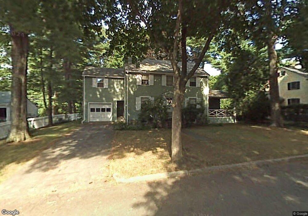
32 Saxon Rd Worcester, MA 01602
Salisbury Street NeighborhoodEstimated Value: $516,005 - $567,000
4
Beds
2
Baths
1,782
Sq Ft
$304/Sq Ft
Est. Value
About This Home
This home is located at 32 Saxon Rd, Worcester, MA 01602 and is currently estimated at $542,251, approximately $304 per square foot. 32 Saxon Rd is a home located in Worcester County with nearby schools including Chandler Magnet, Jacob Hiatt Magnet School, and Flagg Street School.
Ownership History
Date
Name
Owned For
Owner Type
Purchase Details
Closed on
Dec 3, 2010
Sold by
Ruksnaitis Rt and Ruksnaitis William F
Bought by
Felicetti Dana C and Felicetti Jessica E
Current Estimated Value
Home Financials for this Owner
Home Financials are based on the most recent Mortgage that was taken out on this home.
Original Mortgage
$196,879
Outstanding Balance
$130,558
Interest Rate
4.37%
Mortgage Type
FHA
Estimated Equity
$411,693
Create a Home Valuation Report for This Property
The Home Valuation Report is an in-depth analysis detailing your home's value as well as a comparison with similar homes in the area
Home Values in the Area
Average Home Value in this Area
Purchase History
| Date | Buyer | Sale Price | Title Company |
|---|---|---|---|
| Felicetti Dana C | $202,000 | -- |
Source: Public Records
Mortgage History
| Date | Status | Borrower | Loan Amount |
|---|---|---|---|
| Open | Felicetti Dana C | $196,879 |
Source: Public Records
Tax History
| Year | Tax Paid | Tax Assessment Tax Assessment Total Assessment is a certain percentage of the fair market value that is determined by local assessors to be the total taxable value of land and additions on the property. | Land | Improvement |
|---|---|---|---|---|
| 2025 | $6,028 | $457,000 | $123,000 | $334,000 |
| 2024 | $5,913 | $430,000 | $123,000 | $307,000 |
| 2023 | $5,680 | $396,100 | $105,900 | $290,200 |
| 2022 | $5,203 | $342,100 | $84,700 | $257,400 |
| 2021 | $4,277 | $262,700 | $67,800 | $194,900 |
| 2020 | $4,167 | $245,100 | $67,600 | $177,500 |
| 2019 | $4,100 | $227,800 | $65,100 | $162,700 |
| 2018 | $4,102 | $216,900 | $65,100 | $151,800 |
| 2017 | $3,969 | $206,500 | $65,100 | $141,400 |
| 2016 | $3,805 | $184,600 | $52,900 | $131,700 |
| 2015 | $3,705 | $184,600 | $52,900 | $131,700 |
| 2014 | $3,572 | $182,800 | $52,900 | $129,900 |
Source: Public Records
Map
Nearby Homes
Your Personal Tour Guide
Ask me questions while you tour the home.