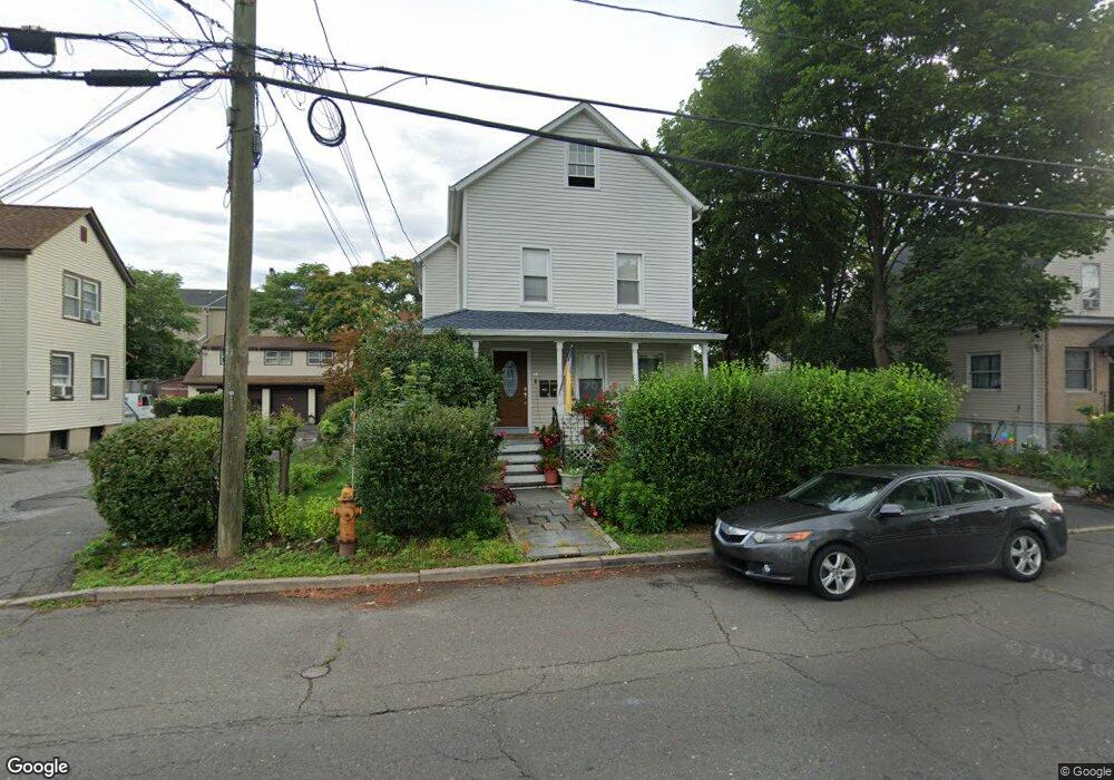
32 Scofield Ave Stamford, CT 06906
Glenbrook NeighborhoodEstimated Value: $744,911 - $826,000
4
Beds
3
Baths
2,088
Sq Ft
$375/Sq Ft
Est. Value
About This Home
This home is located at 32 Scofield Ave, Stamford, CT 06906 and is currently estimated at $783,228, approximately $375 per square foot. 32 Scofield Ave is a home located in Fairfield County with nearby schools including Julia A. Stark Elementary School, Dolan School, and Stamford High School.
Ownership History
Date
Name
Owned For
Owner Type
Purchase Details
Closed on
Aug 6, 2004
Sold by
Prendergast Patrick and Prendergast Sally
Bought by
Shevchuk Svitlana and Kovtyk Yuriy
Current Estimated Value
Home Financials for this Owner
Home Financials are based on the most recent Mortgage that was taken out on this home.
Original Mortgage
$484,500
Interest Rate
6.2%
Mortgage Type
Purchase Money Mortgage
Create a Home Valuation Report for This Property
The Home Valuation Report is an in-depth analysis detailing your home's value as well as a comparison with similar homes in the area
Home Values in the Area
Average Home Value in this Area
Purchase History
| Date | Buyer | Sale Price | Title Company |
|---|---|---|---|
| Shevchuk Svitlana | $510,000 | -- | |
| Shevchuk Svitlana | $510,000 | -- |
Source: Public Records
Mortgage History
| Date | Status | Borrower | Loan Amount |
|---|---|---|---|
| Open | Shevchuk Svitlana | $50,000 | |
| Closed | Shevchuk Svitlana | $50,000 | |
| Open | Shevchuk Svitlana | $520,000 | |
| Closed | Shevchuk Svitlana | $484,500 |
Source: Public Records
Tax History
| Year | Tax Paid | Tax Assessment Tax Assessment Total Assessment is a certain percentage of the fair market value that is determined by local assessors to be the total taxable value of land and additions on the property. | Land | Improvement |
|---|---|---|---|---|
| 2025 | $9,869 | $417,120 | $205,500 | $211,620 |
| 2024 | $9,652 | $417,120 | $205,500 | $211,620 |
| 2023 | $10,370 | $417,120 | $205,500 | $211,620 |
| 2022 | $8,544 | $319,520 | $157,750 | $161,770 |
| 2021 | $8,451 | $319,520 | $157,750 | $161,770 |
| 2020 | $8,234 | $319,520 | $157,750 | $161,770 |
| 2019 | $8,234 | $319,520 | $157,750 | $161,770 |
| 2018 | $7,930 | $319,520 | $157,750 | $161,770 |
| 2017 | $6,542 | $251,620 | $132,520 | $119,100 |
| 2016 | $6,358 | $251,620 | $132,520 | $119,100 |
| 2015 | $6,192 | $251,620 | $132,520 | $119,100 |
| 2014 | $5,986 | $251,620 | $132,520 | $119,100 |
Source: Public Records
Map
Nearby Homes
- 98 Scofield Ave
- 114 Pine Hill Ave
- 75 Coolidge Ave
- 34 Crescent St Unit 2D
- 132 Hope St Unit C
- 168 Colonial Rd Unit 6
- 455 Hope St Unit 4B
- 20 Norman Rd
- 180 Colonial Rd Unit A2
- 71 Deleo Dr
- 11 Belltown Rd Unit 1
- 54 Hope St Unit 4
- 35 Maple Tree Ave Unit 1
- 71 Strawberry Hill Ave Unit 515
- 108 Strawberry Hill Ave Unit 1
- 104 Strawberry Hill Ave Unit 2
- 91 Strawberry Hill Ave Unit 636
- 91 Strawberry Hill Ave Unit 139
- 91 Strawberry Hill Ave Unit 639
- 144 Toms Rd
- 38 Scofield Ave Unit B
- 38 Scofield Ave Unit A
- 28 Scofield Ave
- 42 Scofield Ave
- 35 Scofield Ave
- 22 Scofield Ave
- 51 Center St
- 51 Center St Unit 1
- 51 Center St Unit 3
- 51 Center St Unit 2
- 29 Scofield Ave Unit 1
- 29 Scofield Ave Unit 3
- 29 Scofield Ave Unit 2
- 29 Scofield Ave Unit B-1
- 47 Center St
- 41 Scofield Ave
- 41 Scofield Ave Unit 1ST
- 39 Scofield Ave
- 25 Scofield Ave
Your Personal Tour Guide
Ask me questions while you tour the home.