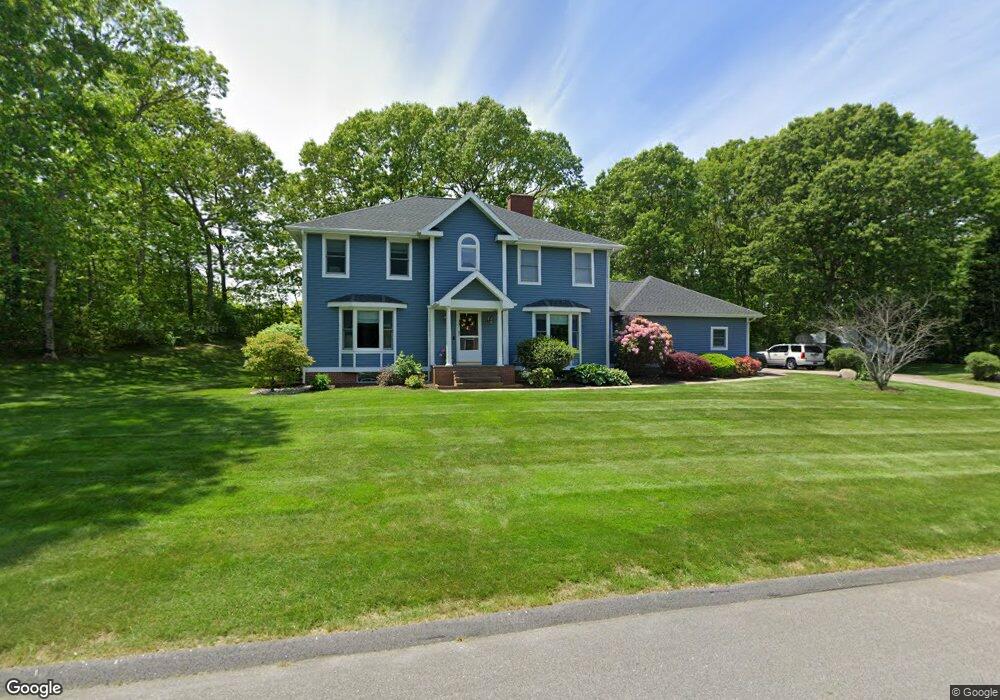
32 Seabury Dr Westerly, RI 02891
Estimated Value: $1,174,000 - $1,388,000
5
Beds
4
Baths
3,900
Sq Ft
$330/Sq Ft
Est. Value
About This Home
This home is located at 32 Seabury Dr, Westerly, RI 02891 and is currently estimated at $1,287,264, approximately $330 per square foot. 32 Seabury Dr is a home located in Washington County with nearby schools including Westerly High School and St. Michael School.
Ownership History
Date
Name
Owned For
Owner Type
Purchase Details
Closed on
May 1, 2020
Sold by
Homsi Mohamad A and Homsi Zubeda S
Bought by
Homsi Keenan
Current Estimated Value
Home Financials for this Owner
Home Financials are based on the most recent Mortgage that was taken out on this home.
Original Mortgage
$200,000
Outstanding Balance
$177,463
Interest Rate
3.6%
Mortgage Type
Purchase Money Mortgage
Estimated Equity
$1,109,801
Create a Home Valuation Report for This Property
The Home Valuation Report is an in-depth analysis detailing your home's value as well as a comparison with similar homes in the area
Home Values in the Area
Average Home Value in this Area
Purchase History
| Date | Buyer | Sale Price | Title Company |
|---|---|---|---|
| Homsi Keenan | $250,000 | None Available |
Source: Public Records
Mortgage History
| Date | Status | Borrower | Loan Amount |
|---|---|---|---|
| Open | Homsi Keenan | $200,000 |
Source: Public Records
Tax History
| Year | Tax Paid | Tax Assessment Tax Assessment Total Assessment is a certain percentage of the fair market value that is determined by local assessors to be the total taxable value of land and additions on the property. | Land | Improvement |
|---|---|---|---|---|
| 2025 | $8,090 | $1,039,800 | $456,800 | $583,000 |
| 2024 | $8,154 | $780,300 | $328,500 | $451,800 |
| 2023 | $7,928 | $780,300 | $328,500 | $451,800 |
| 2022 | $7,881 | $780,300 | $328,500 | $451,800 |
| 2021 | $7,319 | $606,900 | $238,800 | $368,100 |
| 2020 | $7,192 | $606,900 | $238,800 | $368,100 |
| 2019 | $7,125 | $606,900 | $238,800 | $368,100 |
| 2018 | $6,544 | $529,900 | $238,800 | $291,100 |
| 2017 | $6,359 | $529,900 | $238,800 | $291,100 |
| 2016 | $6,359 | $529,900 | $238,800 | $291,100 |
| 2015 | $6,320 | $562,800 | $255,500 | $307,300 |
| 2014 | $6,219 | $562,800 | $255,500 | $307,300 |
Source: Public Records
Map
Nearby Homes
- 9 Compass Way Unit 201
- 9 Compass Way Unit 202
- 9 Compass Way Unit 101
- 9 Compass Way Unit 102
- 9 Compass Way Unit 103
- 9 Compass Way Unit 203
- 8 Kettle Close
- 1 Compass Way Unit A103
- 10 Tristam St
- 18 Timothy Dr
- 19 Wicklow Rd
- 27 Benson Ave
- 4 Shore Rd
- 54 Sherwood Dr
- 417 River Rd
- 33 Whipple Ave
- 4 Quail Run
- 536 Greenhaven Rd
- 23 Summertime Cir
- 22 Summertime Cir
- 33 Seabury Dr
- 4 Lancaster Rd
- 34 Seabury Dr
- 35 Seabury Dr
- 2 Lancaster Rd
- 39 Lancaster Rd
- 8 Lancaster Rd
- 28 Seabury Dr
- 157 Winnapaug Rd
- 159 Winnapaug Rd
- 161 Winnapaug Rd
- 151 Winnapaug Rd
- 37 Seabury Dr
- 36 Seabury Dr
- 5 Lancaster Rd
- 163 Winnapaug Rd
- 149 Winnapaug Rd
- 4 Orleans Ct
- 2 Orleans Ct
- 66 Orleans Ct
Your Personal Tour Guide
Ask me questions while you tour the home.