32 Shadowland Rd Alstead, NH 03602
Estimated Value: $356,000 - $410,000
2
Beds
1
Bath
1,527
Sq Ft
$245/Sq Ft
Est. Value
About This Home
This home is located at 32 Shadowland Rd, Alstead, NH 03602 and is currently estimated at $373,459, approximately $244 per square foot. 32 Shadowland Rd is a home located in Cheshire County with nearby schools including Alstead Primary School, Vilas Elementary School, and Fall Mountain Regional High School.
Create a Home Valuation Report for This Property
The Home Valuation Report is an in-depth analysis detailing your home's value as well as a comparison with similar homes in the area
Tax History
| Year | Tax Paid | Tax Assessment Tax Assessment Total Assessment is a certain percentage of the fair market value that is determined by local assessors to be the total taxable value of land and additions on the property. | Land | Improvement |
|---|---|---|---|---|
| 2024 | $5,941 | $220,200 | $123,300 | $96,900 |
| 2023 | $5,600 | $220,200 | $123,300 | $96,900 |
| 2022 | $5,426 | $220,200 | $123,300 | $96,900 |
| 2021 | $5,120 | $220,200 | $123,300 | $96,900 |
| 2020 | $5,377 | $220,200 | $123,300 | $96,900 |
| 2019 | $5,704 | $204,800 | $110,000 | $94,800 |
| 2018 | $5,540 | $204,800 | $110,000 | $94,800 |
| 2017 | $5,457 | $204,600 | $110,000 | $94,600 |
| 2016 | $5,506 | $204,600 | $110,000 | $94,600 |
| 2015 | $5,428 | $204,600 | $110,000 | $94,600 |
| 2014 | $5,562 | $233,700 | $133,100 | $100,600 |
| 2013 | $6,263 | $233,700 | $133,100 | $100,600 |
Source: Public Records
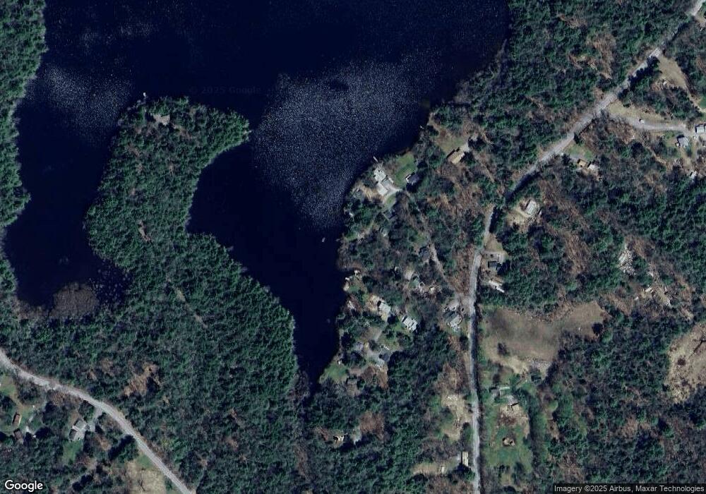
Map
Nearby Homes
- 00 Rogers Rd Unit 5A
- 178 North Rd
- 411 Alstead Center Rd
- 861 Alstead Center Rd
- 00 New Hampshire 123
- Lot 9-29 Murphy Hill Rd
- 33 Maclean Rd
- 172 Nh-Rte 123 Route
- 14 Hammann Dr
- 21 Main St
- 0 Old Marlow Rd Unit 7
- 16 Vilas Rd
- 55 River St
- 849 Route 10
- 100 River St
- 266 Tory Hill Rd
- 203 Winch Hill Rd
- 00 Cold River Rd Unit 3014.0
- 563 Holden Hill Rd
- 392 Cheshire Turnpike
- 30 Shadowland Rd
- 33 Shadowland Rd
- 3 Blueberry Hill Ln
- 25 Shadowland Rd
- 11 Shadowland Rd
- 28 Shadow Land Rd
- 24 Shadowland Rd
- 14 Blueberry Hill Ln
- 28 Shadowland Rd
- 5 Blueberry Hill Ln
- 13 Blueberry Hill Ln
- 18 Blueberry Hill Ln
- 20 Shadowland Rd
- 17 Blueberry Hill Ln
- 3 Shadowland Rd
- 176 Gilsum Mine Rd
- 181 Gilsum Mine Rd
- 28 Blueberry Hill Ln
- 30 Blueberry Hill Ln
- 32 Blueberry Hill Ln
Your Personal Tour Guide
Ask me questions while you tour the home.