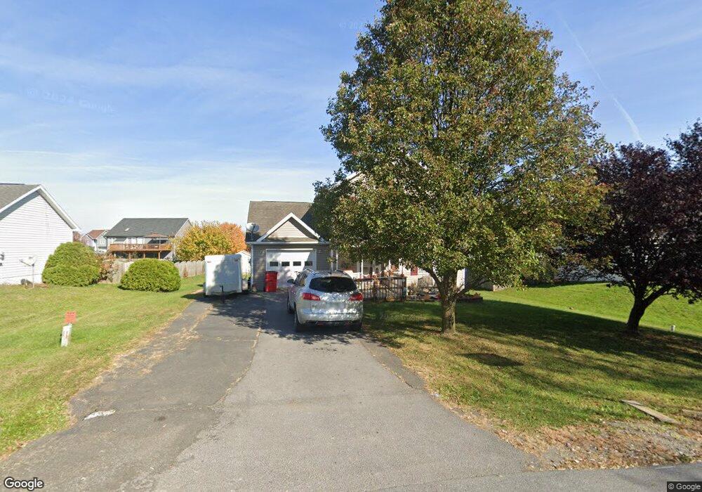
32 Snowshoe Ct Ranson, WV 25438
Estimated Value: $346,000 - $385,159
3
Beds
4
Baths
2,370
Sq Ft
$153/Sq Ft
Est. Value
About This Home
This home is located at 32 Snowshoe Ct, Ranson, WV 25438 and is currently estimated at $361,790, approximately $152 per square foot. 32 Snowshoe Ct is a home located in Jefferson County with nearby schools including T.A. Lowery Elementary School, Wildwood Middle School, and Jefferson High School.
Ownership History
Date
Name
Owned For
Owner Type
Purchase Details
Closed on
Sep 15, 2008
Sold by
Fannie Mae
Bought by
Fauble Heather K
Current Estimated Value
Home Financials for this Owner
Home Financials are based on the most recent Mortgage that was taken out on this home.
Original Mortgage
$184,457
Outstanding Balance
$122,306
Interest Rate
6.54%
Mortgage Type
FHA
Estimated Equity
$239,484
Purchase Details
Closed on
May 13, 2008
Sold by
Ayala Jorge and Ayala Ofelia
Bought by
Federal National Mortgage Association
Create a Home Valuation Report for This Property
The Home Valuation Report is an in-depth analysis detailing your home's value as well as a comparison with similar homes in the area
Home Values in the Area
Average Home Value in this Area
Purchase History
| Date | Buyer | Sale Price | Title Company |
|---|---|---|---|
| Fauble Heather K | -- | None Available | |
| Federal National Mortgage Association | $236,048 | None Available |
Source: Public Records
Mortgage History
| Date | Status | Borrower | Loan Amount |
|---|---|---|---|
| Open | Fauble Heather K | $184,457 |
Source: Public Records
Tax History
| Year | Tax Paid | Tax Assessment Tax Assessment Total Assessment is a certain percentage of the fair market value that is determined by local assessors to be the total taxable value of land and additions on the property. | Land | Improvement |
|---|---|---|---|---|
| 2025 | $2,653 | $189,500 | $67,100 | $122,400 |
| 2024 | $2,550 | $179,500 | $67,100 | $112,400 |
| 2023 | $2,545 | $179,500 | $67,100 | $112,400 |
| 2022 | $2,175 | $150,900 | $52,700 | $98,200 |
| 2021 | $1,876 | $128,100 | $40,300 | $87,800 |
| 2020 | $1,778 | $128,100 | $40,300 | $87,800 |
| 2019 | $1,753 | $124,700 | $35,900 | $88,800 |
| 2018 | $1,630 | $114,400 | $28,700 | $85,700 |
| 2017 | $1,637 | $114,900 | $28,700 | $86,200 |
| 2016 | $1,493 | $105,400 | $19,200 | $86,200 |
| 2015 | $1,406 | $98,500 | $16,800 | $81,700 |
| 2014 | $1,336 | $93,700 | $12,000 | $81,700 |
Source: Public Records
Map
Nearby Homes
- 363 Anthem St
- 54 Coolidge Ave
- 63 Anthem St
- The Millville Plan at Presidents Pointe - Townhomes
- 31 Capitol Mews
- 271 Swan Field Ave
- 295 Short Branch Dr
- 303 Short Branch Dr
- 504 National St
- 483 National St
- 491 National St
- 73 Mcgregor Dr
- 316 Anthem St
- 324 Anthem St
- 328 Anthem St
- 431 Presidents Pointe Ave
- 435 Presidents Pointe Ave
- 439 Presidents Pointe Ave
- 443 Presidents Pointe Ave
- 344 Anthem St
- 48 Snowshoe Ct
- 14 Snowshoe Ct
- 371 Presidents Pointe Ave
- 315 Presidents Pointe Ave
- 35 Snowshoe Ct
- 41 Jack Rabbit Ln
- 47 Snowshoe Ct
- 68 Snowshoe Ct
- 325 Thumper Dr
- 339 Thumper Dr
- 65 Snowshoe Ct
- 303 Thumper Dr
- 78 Jack Rabbit Ln
- 349 Thumper Dr
- 60 Jack Rabbit Ln
- 353 Thumper Dr
- 351 Thumper Dr
- 23 Jack Rabbit Ln
- 78 Snowshoe Ct
- 44 Jack Rabbit Ln