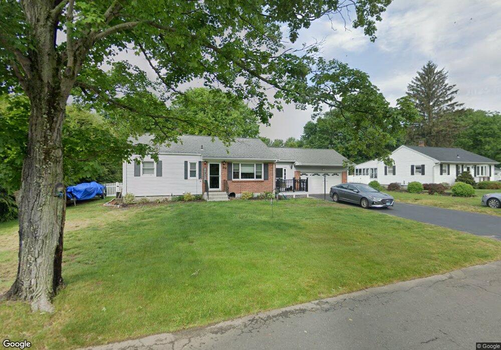
32 Sorghum Rd Shelton, CT 06484
Estimated Value: $407,000 - $482,000
3
Beds
1
Bath
1,144
Sq Ft
$388/Sq Ft
Est. Value
About This Home
This home is located at 32 Sorghum Rd, Shelton, CT 06484 and is currently estimated at $444,130, approximately $388 per square foot. 32 Sorghum Rd is a home located in Fairfield County with nearby schools including Perry Hill School, Shelton Intermediate School, and Shelton High School.
Ownership History
Date
Name
Owned For
Owner Type
Purchase Details
Closed on
Feb 24, 2004
Sold by
Zmijewski Scot and Zmijewski Lisa
Bought by
Sullivan Stephen and Selostok Danielle M
Current Estimated Value
Home Financials for this Owner
Home Financials are based on the most recent Mortgage that was taken out on this home.
Original Mortgage
$150,000
Outstanding Balance
$70,888
Interest Rate
5.83%
Estimated Equity
$373,242
Purchase Details
Closed on
May 26, 2000
Sold by
Caruso Deborah
Bought by
Zinijewski Scot and Zinijewski Lisa Lynn
Home Financials for this Owner
Home Financials are based on the most recent Mortgage that was taken out on this home.
Original Mortgage
$180,250
Interest Rate
8.1%
Purchase Details
Closed on
Jul 17, 1996
Sold by
Lin Ming Jung and Lin Shiow Hua
Bought by
Caruso Vincent J and Caruso Deborah L
Create a Home Valuation Report for This Property
The Home Valuation Report is an in-depth analysis detailing your home's value as well as a comparison with similar homes in the area
Home Values in the Area
Average Home Value in this Area
Purchase History
| Date | Buyer | Sale Price | Title Company |
|---|---|---|---|
| Sullivan Stephen | $250,000 | -- | |
| Sullivan Stephen | $250,000 | -- | |
| Zinijewski Scot | $175,000 | -- | |
| Zinijewski Scot | $175,000 | -- | |
| Caruso Vincent J | $148,000 | -- | |
| Caruso Vincent J | $148,000 | -- |
Source: Public Records
Mortgage History
| Date | Status | Borrower | Loan Amount |
|---|---|---|---|
| Open | Caruso Vincent J | $150,000 | |
| Closed | Caruso Vincent J | $150,000 | |
| Previous Owner | Caruso Vincent J | $180,250 |
Source: Public Records
Tax History Compared to Growth
Tax History
| Year | Tax Paid | Tax Assessment Tax Assessment Total Assessment is a certain percentage of the fair market value that is determined by local assessors to be the total taxable value of land and additions on the property. | Land | Improvement |
|---|---|---|---|---|
| 2025 | $3,712 | $197,260 | $78,260 | $119,000 |
| 2024 | $3,771 | $196,630 | $78,260 | $118,370 |
| 2023 | $3,435 | $196,630 | $78,260 | $118,370 |
| 2022 | $3,435 | $196,630 | $78,260 | $118,370 |
| 2021 | $3,430 | $155,680 | $55,860 | $99,820 |
| 2020 | $3,490 | $155,680 | $55,860 | $99,820 |
| 2019 | $3,490 | $155,680 | $55,860 | $99,820 |
| 2017 | $3,458 | $155,680 | $55,860 | $99,820 |
| 2015 | $3,494 | $156,590 | $59,990 | $96,600 |
| 2014 | $3,494 | $156,590 | $59,990 | $96,600 |
Source: Public Records
Map
Nearby Homes
- 88 Sorghum Rd
- 57 Church St
- 1 Steeple View Ln
- 2 Steeple View Ln
- 6 Steeple View Ln Unit Lot 7
- 14 Steeple View Ln
- 28 Old Shelton Rd
- 23 Sportsman Dr
- 15 Windy Acres Dr
- 28 Strawberry Ln
- 225 Nichols Ave
- 51 Great Oak Rd
- 15 Sycamore Dr
- 32 Adams Dr
- 263 Navajo Loop
- 24 Cedar Hill Rd
- 61 Maler Ave
- 90 Soundview Ave
- 19 Hazel Ct
- 45 Sallys Way Unit 45