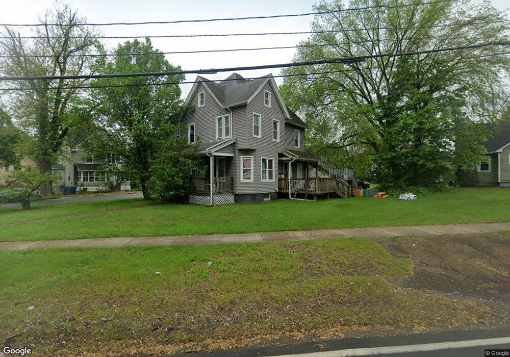
32 South Blvd Unit 1 West Springfield, MA 01089
Estimated Value: $370,000 - $438,000
4
Beds
2
Baths
1,928
Sq Ft
$203/Sq Ft
Est. Value
About This Home
This home is located at 32 South Blvd Unit 1, West Springfield, MA 01089 and is currently estimated at $390,988, approximately $202 per square foot. 32 South Blvd Unit 1 is a home located in Hampden County with nearby schools including Hampden Charter School of Science West and St Thomas The Apostle School.
Ownership History
Date
Name
Owned For
Owner Type
Purchase Details
Closed on
May 12, 2014
Sold by
Draper Ralph
Bought by
Tm Properties Inc
Current Estimated Value
Purchase Details
Closed on
Sep 11, 2008
Sold by
Ansart Scott G
Bought by
Draper Ralph and Draper Ralph H
Home Financials for this Owner
Home Financials are based on the most recent Mortgage that was taken out on this home.
Original Mortgage
$146,934
Interest Rate
6.58%
Mortgage Type
Purchase Money Mortgage
Purchase Details
Closed on
Nov 25, 1998
Sold by
George Tofie A and Green Joseph T
Bought by
Ansart John C
Home Financials for this Owner
Home Financials are based on the most recent Mortgage that was taken out on this home.
Original Mortgage
$48,000
Interest Rate
6.83%
Mortgage Type
Purchase Money Mortgage
Create a Home Valuation Report for This Property
The Home Valuation Report is an in-depth analysis detailing your home's value as well as a comparison with similar homes in the area
Home Values in the Area
Average Home Value in this Area
Purchase History
| Date | Buyer | Sale Price | Title Company |
|---|---|---|---|
| Tm Properties Inc | $140,000 | -- | |
| Draper Ralph | $163,260 | -- | |
| Ansart John C | $60,000 | -- |
Source: Public Records
Mortgage History
| Date | Status | Borrower | Loan Amount |
|---|---|---|---|
| Previous Owner | Draper Ralph | $146,934 | |
| Previous Owner | Ansart John C | $86,900 | |
| Previous Owner | Ansart John C | $48,000 |
Source: Public Records
Tax History Compared to Growth
Tax History
| Year | Tax Paid | Tax Assessment Tax Assessment Total Assessment is a certain percentage of the fair market value that is determined by local assessors to be the total taxable value of land and additions on the property. | Land | Improvement |
|---|---|---|---|---|
| 2025 | $4,705 | $316,400 | $116,100 | $200,300 |
| 2024 | $4,686 | $316,400 | $116,100 | $200,300 |
| 2023 | $4,042 | $260,100 | $116,100 | $144,000 |
| 2022 | $3,929 | $249,300 | $105,300 | $144,000 |
| 2021 | $3,162 | $187,100 | $84,200 | $102,900 |
| 2020 | $3,128 | $184,100 | $84,200 | $99,900 |
| 2019 | $3,122 | $184,100 | $84,200 | $99,900 |
| 2018 | $3,139 | $184,100 | $84,200 | $99,900 |
| 2017 | $3,139 | $184,100 | $84,200 | $99,900 |
| 2016 | $3,043 | $179,100 | $79,200 | $99,900 |
| 2015 | $2,735 | $161,000 | $77,500 | $83,500 |
| 2014 | $2,642 | $161,000 | $77,500 | $83,500 |
Source: Public Records
Map
Nearby Homes