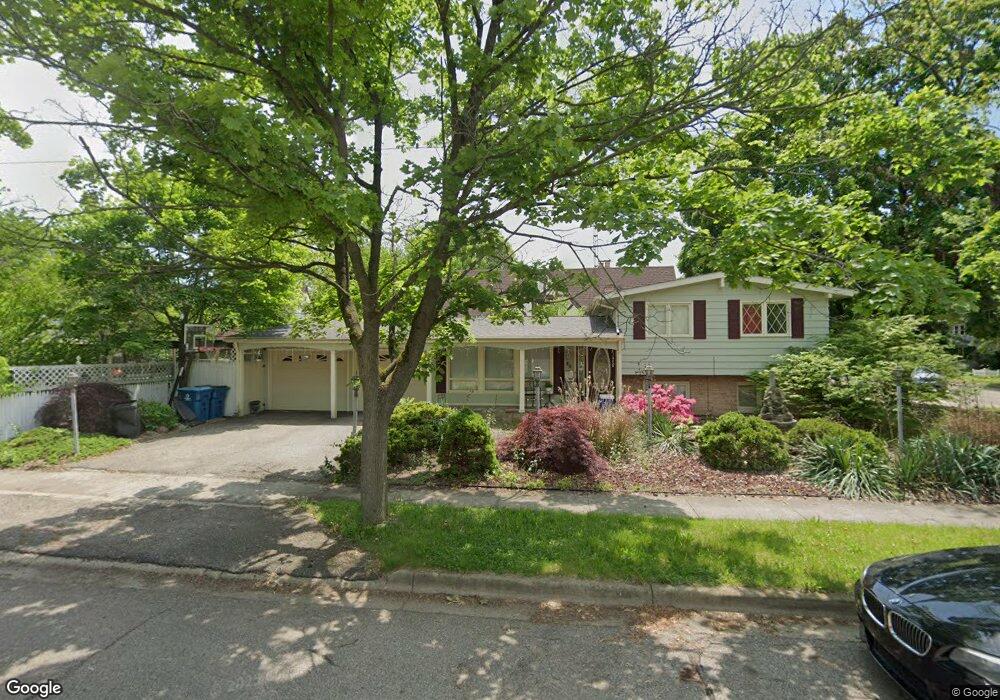
32 St Joseph Ln Battle Creek, MI 49017
Northeast Battle Creek NeighborhoodEstimated Value: $157,000 - $187,000
3
Beds
3
Baths
960
Sq Ft
$174/Sq Ft
Est. Value
About This Home
This home is located at 32 St Joseph Ln, Battle Creek, MI 49017 and is currently estimated at $166,822, approximately $173 per square foot. 32 St Joseph Ln is a home located in Calhoun County with nearby schools including Northwestern Middle School, Battle Creek Central High School, and St. Philip Catholic Central High School.
Ownership History
Date
Name
Owned For
Owner Type
Purchase Details
Closed on
Jun 11, 2014
Sold by
Brewer Glenda L
Bought by
Glenda L Brewer Revocable Living Trust
Current Estimated Value
Purchase Details
Closed on
Aug 4, 2000
Bought by
Brewer Glenda
Purchase Details
Closed on
Oct 29, 1999
Bought by
Bankers Trust Of California
Purchase Details
Closed on
Jul 25, 1997
Bought by
Great Lakes National Bank
Create a Home Valuation Report for This Property
The Home Valuation Report is an in-depth analysis detailing your home's value as well as a comparison with similar homes in the area
Home Values in the Area
Average Home Value in this Area
Purchase History
| Date | Buyer | Sale Price | Title Company |
|---|---|---|---|
| Glenda L Brewer Revocable Living Trust | -- | None Available | |
| Brewer Glenda | $70,100 | -- | |
| Bankers Trust Of California | $72,300 | -- | |
| Great Lakes National Bank | $58,800 | -- |
Source: Public Records
Tax History Compared to Growth
Tax History
| Year | Tax Paid | Tax Assessment Tax Assessment Total Assessment is a certain percentage of the fair market value that is determined by local assessors to be the total taxable value of land and additions on the property. | Land | Improvement |
|---|---|---|---|---|
| 2025 | -- | $72,200 | $0 | $0 |
| 2024 | $1,956 | $65,832 | $0 | $0 |
| 2023 | $2,489 | $56,716 | $0 | $0 |
| 2022 | $1,768 | $57,697 | $0 | $0 |
| 2021 | $2,364 | $55,357 | $0 | $0 |
| 2020 | $2,227 | $51,972 | $0 | $0 |
| 2019 | $2,214 | $50,521 | $0 | $0 |
| 2018 | $2,214 | $48,455 | $1,375 | $47,080 |
| 2017 | $2,156 | $44,139 | $0 | $0 |
| 2016 | $2,151 | $44,320 | $0 | $0 |
| 2015 | $2,142 | $33,329 | $2,456 | $30,873 |
| 2014 | $2,142 | $33,329 | $2,456 | $30,873 |
Source: Public Records
Map
Nearby Homes
- 14 Elizabeth St
- 91 Sherman Rd
- 78 Central St
- 45 Central St
- 19 Central St
- 162 Orchard Ave
- 105 Chestnut St
- 192 Fremont St
- 323 Garfield Ave
- 114 Fremont St
- 261 Emmett St E
- 195 Union St N
- 170 Sherman Rd
- 176 Union St N
- 51 Latta St
- 31 Orchard Place
- 25 Orchard Place
- 162 Calhoun St
- 273 Garfield Ave
- 61 Rose St
- 32 Saint Joseph Ln
- 168 Chestnut St
- 162 Chestnut St
- 59 Elizabeth St
- 53 Elizabeth St
- 158 Chestnut St
- 51 Elizabeth St
- 181 Chestnut St
- 154 Chestnut St
- 192 Chestnut St
- 167 Chestnut St
- 173 Chestnut St
- 163 Chestnut St
- 67 Elizabeth St
- 177 Chestnut St
- 41 Elizabeth St
- 159 Chestnut St
- 196 Chestnut St
- 152 Chestnut St
- 153 Chestnut St