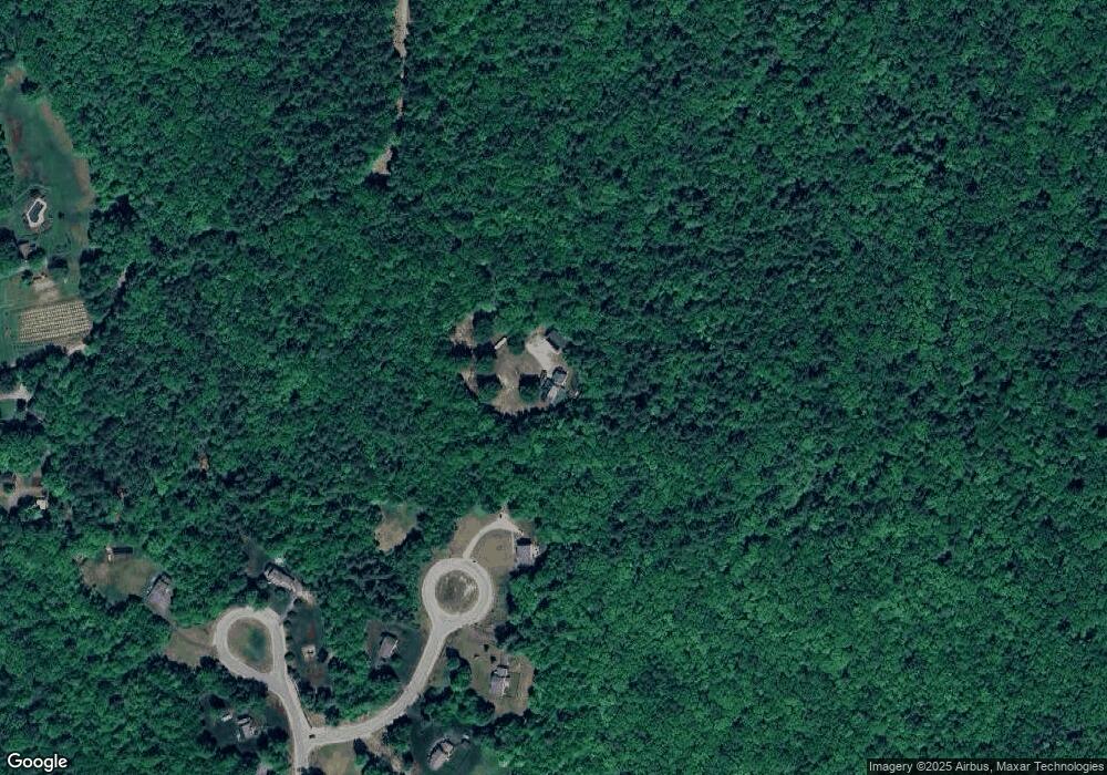
32 Stark Ln Dunbarton, NH 03046
Estimated Value: $704,000 - $843,893
3
Beds
3
Baths
2,895
Sq Ft
$270/Sq Ft
Est. Value
About This Home
This home is located at 32 Stark Ln, Dunbarton, NH 03046 and is currently estimated at $782,973, approximately $270 per square foot. 32 Stark Ln is a home located in Merrimack County with nearby schools including Dunbarton Elementary School, Bow Memorial School, and Bow High School.
Ownership History
Date
Name
Owned For
Owner Type
Purchase Details
Closed on
Nov 25, 2019
Sold by
Aubrey Deborah and Aubrey Scott
Bought by
Aubrey Ft
Current Estimated Value
Purchase Details
Closed on
Feb 23, 1999
Sold by
Pastuszek Monahan Fam
Bought by
Aubrey Scott P and Aubrey Deborah M
Home Financials for this Owner
Home Financials are based on the most recent Mortgage that was taken out on this home.
Original Mortgage
$211,300
Interest Rate
6.75%
Create a Home Valuation Report for This Property
The Home Valuation Report is an in-depth analysis detailing your home's value as well as a comparison with similar homes in the area
Home Values in the Area
Average Home Value in this Area
Purchase History
| Date | Buyer | Sale Price | Title Company |
|---|---|---|---|
| Aubrey Ft | -- | None Available | |
| Aubrey Scott P | $222,500 | -- |
Source: Public Records
Mortgage History
| Date | Status | Borrower | Loan Amount |
|---|---|---|---|
| Previous Owner | Aubrey Scott P | $215,000 | |
| Previous Owner | Aubrey Scott P | $215,000 | |
| Previous Owner | Aubrey Scott P | $211,300 |
Source: Public Records
Tax History
| Year | Tax Paid | Tax Assessment Tax Assessment Total Assessment is a certain percentage of the fair market value that is determined by local assessors to be the total taxable value of land and additions on the property. | Land | Improvement |
|---|---|---|---|---|
| 2025 | $15,001 | $918,028 | $153,428 | $764,600 |
| 2024 | $13,079 | $495,792 | $84,692 | $411,100 |
| 2023 | $12,677 | $495,792 | $84,692 | $411,100 |
| 2022 | $11,393 | $495,792 | $84,692 | $411,100 |
| 2021 | $11,606 | $495,792 | $84,692 | $411,100 |
| 2020 | $11,050 | $495,948 | $84,848 | $411,100 |
| 2018 | $8,949 | $397,185 | $70,285 | $326,900 |
| 2017 | $10,172 | $397,185 | $70,285 | $326,900 |
| 2016 | $9,535 | $397,614 | $70,714 | $326,900 |
| 2015 | $9,374 | $397,380 | $70,480 | $326,900 |
| 2014 | $7,951 | $376,114 | $70,714 | $305,400 |
| 2013 | $7,923 | $377,128 | $71,728 | $305,400 |
Source: Public Records
Map
Nearby Homes
- 66 Winslow Rd
- 71 Overlook Dr
- 192 Grapevine Rd
- 1003 School St
- 53 Tucker Hill Rd
- 8 Longview Dr
- 592 Page Rd
- 311 S Sugar Hill Rd
- 352 S Sugar Hill Rd
- 4 Cedar Ln
- 43 Hampshire Hills Dr
- 1 Bona Vista Dr
- 0 Als Dr Unit 196
- 120 Hooksett Turnpike
- 131 Cross Rd
- 21 Hooksett Turnpike
- 0 Brown Hill Rd Unit 5032600
- 244 Page Rd
- 916 River Rd
- 99 Brown Hill Rd
Your Personal Tour Guide
Ask me questions while you tour the home.