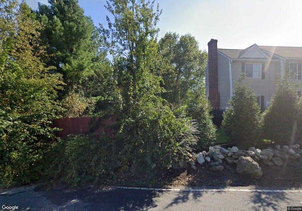
32 Stone Wedge Cir North Andover, MA 01845
Estimated Value: $1,217,631 - $1,525,000
4
Beds
3
Baths
3,516
Sq Ft
$390/Sq Ft
Est. Value
About This Home
This home is located at 32 Stone Wedge Cir, North Andover, MA 01845 and is currently estimated at $1,371,908, approximately $390 per square foot. 32 Stone Wedge Cir is a home located in Essex County with nearby schools including Annie L Sargent Elementary School, North Andover Middle School, and North Andover High School.
Ownership History
Date
Name
Owned For
Owner Type
Purchase Details
Closed on
Jul 17, 2025
Sold by
Nangle-Johnson Monique Y and Johnson Norbert
Bought by
Norbert J Johnson Jr Ret and Johnson
Current Estimated Value
Purchase Details
Closed on
Oct 26, 2004
Sold by
Nangle-Johnson Monique Y
Bought by
Johnson Nt and Johnson
Purchase Details
Closed on
Jul 15, 2003
Sold by
Stonewedge Circle Lot and Innis Robert
Bought by
Johnson Norbert and Nangle-Johnson Monique Y
Home Financials for this Owner
Home Financials are based on the most recent Mortgage that was taken out on this home.
Original Mortgage
$599,900
Interest Rate
5.45%
Mortgage Type
Purchase Money Mortgage
Create a Home Valuation Report for This Property
The Home Valuation Report is an in-depth analysis detailing your home's value as well as a comparison with similar homes in the area
Home Values in the Area
Average Home Value in this Area
Purchase History
| Date | Buyer | Sale Price | Title Company |
|---|---|---|---|
| Norbert J Johnson Jr Ret | -- | -- | |
| Norbert J Johnson Jr Ret | -- | -- | |
| Johnson Nt | -- | -- | |
| Johnson Nt | -- | -- | |
| Johnson Norbert | $749,900 | -- | |
| Johnson Norbert | $749,900 | -- |
Source: Public Records
Mortgage History
| Date | Status | Borrower | Loan Amount |
|---|---|---|---|
| Previous Owner | Johnson Norbert | $523,750 | |
| Previous Owner | Johnson Norbert | $599,900 |
Source: Public Records
Tax History Compared to Growth
Tax History
| Year | Tax Paid | Tax Assessment Tax Assessment Total Assessment is a certain percentage of the fair market value that is determined by local assessors to be the total taxable value of land and additions on the property. | Land | Improvement |
|---|---|---|---|---|
| 2025 | $13,526 | $1,201,200 | $442,200 | $759,000 |
| 2024 | $12,905 | $1,163,700 | $420,400 | $743,300 |
| 2023 | $12,141 | $991,900 | $336,600 | $655,300 |
| 2022 | $11,567 | $854,900 | $293,000 | $561,900 |
| 2021 | $11,121 | $784,800 | $266,900 | $517,900 |
| 2020 | $10,692 | $778,200 | $260,300 | $517,900 |
| 2019 | $10,436 | $778,200 | $260,300 | $517,900 |
| 2018 | $11,307 | $778,200 | $260,300 | $517,900 |
| 2017 | $10,850 | $759,800 | $235,000 | $524,800 |
| 2016 | $10,272 | $719,800 | $239,400 | $480,400 |
| 2015 | $10,178 | $707,300 | $223,900 | $483,400 |
Source: Public Records
Map
Nearby Homes
- 480 Sharpners Pond Rd
- 3 Harvest Dr Unit 106
- 2 Harvest Dr Unit 301
- 3 Harvest Dr Unit 303
- 3 Harvest Dr Unit 107
- 851 Forest St
- 660 Sharpners Pond Rd
- 7 Sullivan St
- 10 Woodchuck Ln
- 50 Stonecleave Rd
- 8 Athena Cir
- 196-200 B1 N Main St
- Lot 10 Stonecleave Rd
- 114 Stonecleave Rd
- 123 Forest St
- 30 Donovans Way
- 12 Farnum St
- Lot 2 (31) Lawrence Rd
- 112 Mill St
- 77 Essex St
- 28 Stone Wedge Cir
- 115 Webster Woods Ln
- 15 Stonewedge Cir
- 15 Stone Wedge Cir
- 33 Stone Wedge Cir
- 5 Stone Wedge Cir
- 129 Webster Woods Ln
- 143 Webster Woods Ln
- 29 Stone Wedge Cir
- 39 Avery Park Dr
- 35 Avery Park Dr
- 30 Avery Park Dr
- 40 Webster Woods Ln
- 45 Avery Park Dr
- 186 Webster Woods Ln
- 186 Webster Woods Ln
- 50 Avery Park Dr
- 175 Webster Woods Ln
- 149 Campbell Rd
- 133 Campbell Rd