32 Toms Pond Ln Warner, NH 03278
Estimated Value: $432,046 - $533,000
2
Beds
1
Bath
1,817
Sq Ft
$272/Sq Ft
Est. Value
About This Home
This home is located at 32 Toms Pond Ln, Warner, NH 03278 and is currently estimated at $494,012, approximately $271 per square foot. 32 Toms Pond Ln is a home located in Merrimack County with nearby schools including Simonds Elementary School, Kearsarge Regional Middle School, and Kearsarge Regional High School.
Ownership History
Date
Name
Owned For
Owner Type
Purchase Details
Closed on
Aug 8, 2018
Sold by
Monastesse Philip F and Monastesse Sheri L
Bought by
Provident T
Current Estimated Value
Home Financials for this Owner
Home Financials are based on the most recent Mortgage that was taken out on this home.
Original Mortgage
$234,740
Outstanding Balance
$203,862
Interest Rate
4.5%
Mortgage Type
Purchase Money Mortgage
Estimated Equity
$290,150
Purchase Details
Closed on
Jan 7, 2010
Sold by
Michie Mark S
Bought by
Monastesse Sheri L and Monastesse Philip F
Home Financials for this Owner
Home Financials are based on the most recent Mortgage that was taken out on this home.
Original Mortgage
$195,741
Interest Rate
5.25%
Mortgage Type
FHA
Create a Home Valuation Report for This Property
The Home Valuation Report is an in-depth analysis detailing your home's value as well as a comparison with similar homes in the area
Home Values in the Area
Average Home Value in this Area
Purchase History
| Date | Buyer | Sale Price | Title Company |
|---|---|---|---|
| Provident T | $242,000 | -- | |
| Monastesse Sheri L | $202,500 | -- |
Source: Public Records
Mortgage History
| Date | Status | Borrower | Loan Amount |
|---|---|---|---|
| Open | Provident T | $234,740 | |
| Previous Owner | Monastesse Sheri L | $195,741 |
Source: Public Records
Tax History Compared to Growth
Tax History
| Year | Tax Paid | Tax Assessment Tax Assessment Total Assessment is a certain percentage of the fair market value that is determined by local assessors to be the total taxable value of land and additions on the property. | Land | Improvement |
|---|---|---|---|---|
| 2024 | $6,617 | $214,200 | $27,800 | $186,400 |
| 2023 | $5,727 | $180,540 | $54,660 | $125,880 |
| 2016 | $4,936 | $180,540 | $54,660 | $125,880 |
| 2015 | $4,810 | $180,540 | $54,660 | $125,880 |
| 2011 | $4,813 | $192,760 | $61,220 | $131,540 |
Source: Public Records
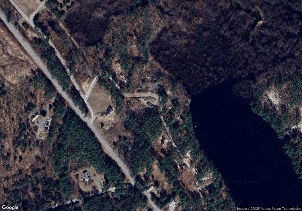
Map
Nearby Homes
- 168 Route 103 E
- 20 Duston Dr
- 2 Granite Valley
- 114 Nh Route 103 E
- 1036 Bound Tree Rd
- 298 Battle St
- 104 River Grant Dr
- 93-1 Pine St
- 0 Pine St Unit 38 5061613
- 0 Pine St Unit 50 5060731
- 41 School St
- 108 Maple St
- 220 Couchtown Rd
- 0 Waldron Hill Rd Unit 30-2-3
- 0 Waldron Hill Rd Unit 30-2-4
- 38 Woodwells Garrison Rd
- 356 E Penacook Rd
- 10 Call Rd
- 455 Maple St
- 00 Deer Meadow Rd Unit 26
- 41 Toms Pond Ln
- 69 Toms Pond Ln
- 27 Toms Pond Ln
- 35 Toms Pond Ln
- 39 Toms Pond Ln
- 81 Toms Pond Ln
- 46 Toms Pond Ln
- 47 Toms Pond Ln
- 93 Toms Pond Ln
- 11 Toms Pond Ln
- 103 Toms Pond Ln
- 402 Route 103 E
- 406 Route 103 E
- 460 Route 103 E
- 460 Route 103 E
- 53 Toms Pond Ln
- 105 Toms Pond Ln
- 57 Toms Pond Ln
- 14 Iron Kettle Rd
- 9 Iron Kettle Rd