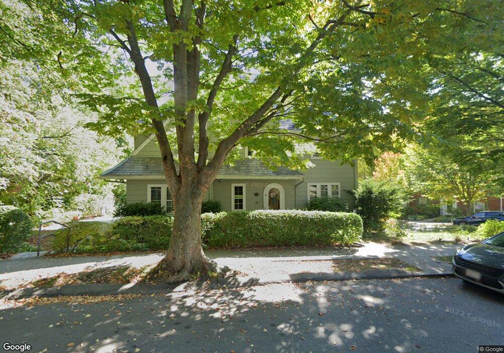
32 Welland Rd Brookline, MA 02445
Brookline Village NeighborhoodEstimated Value: $2,674,000 - $3,186,000
3
Beds
3
Baths
2,619
Sq Ft
$1,131/Sq Ft
Est. Value
About This Home
This home is located at 32 Welland Rd, Brookline, MA 02445 and is currently estimated at $2,961,282, approximately $1,130 per square foot. 32 Welland Rd is a home located in Norfolk County with nearby schools including Pierce School, St. Mary of the Assumption Elementary School, and Maimonides School.
Ownership History
Date
Name
Owned For
Owner Type
Purchase Details
Closed on
Jul 22, 2024
Sold by
Lahav Pnina
Bought by
Pnina Lahav 2017 T and Pnina Lahav
Current Estimated Value
Create a Home Valuation Report for This Property
The Home Valuation Report is an in-depth analysis detailing your home's value as well as a comparison with similar homes in the area
Home Values in the Area
Average Home Value in this Area
Purchase History
| Date | Buyer | Sale Price | Title Company |
|---|---|---|---|
| Pnina Lahav 2017 T | -- | None Available | |
| Pnina Lahav 2017 T | -- | None Available |
Source: Public Records
Tax History Compared to Growth
Tax History
| Year | Tax Paid | Tax Assessment Tax Assessment Total Assessment is a certain percentage of the fair market value that is determined by local assessors to be the total taxable value of land and additions on the property. | Land | Improvement |
|---|---|---|---|---|
| 2025 | $24,485 | $2,480,800 | $1,534,700 | $946,100 |
| 2024 | $23,328 | $2,387,700 | $1,475,600 | $912,100 |
| 2023 | $20,677 | $2,073,900 | $1,181,600 | $892,300 |
| 2022 | $20,126 | $1,975,100 | $1,125,300 | $849,800 |
| 2021 | $18,611 | $1,899,100 | $1,082,000 | $817,100 |
| 2020 | $16,908 | $1,789,200 | $983,600 | $805,600 |
| 2019 | $15,966 | $1,704,000 | $936,800 | $767,200 |
| 2018 | $14,553 | $1,538,400 | $780,700 | $757,700 |
| 2017 | $14,339 | $1,451,300 | $736,500 | $714,800 |
| 2016 | $14,133 | $1,356,300 | $688,300 | $668,000 |
| 2015 | $13,538 | $1,267,600 | $643,300 | $624,300 |
| 2014 | $13,054 | $1,146,100 | $536,100 | $610,000 |
Source: Public Records
Map
Nearby Homes
- 21 Hancock Rd
- 71 Greenough St Unit 71-1
- 87 Greenough St Unit 1
- 87 Greenough St Unit 2
- 9 Greenough St
- 84 Winthrop Rd Unit 1
- 84 Winthrop Rd
- 12 Colbourne Crescent Unit 1
- 15 Colbourne Crescent Unit 2
- 72 Cypress St Unit 1
- 589-591 Washington St
- 57 Harvard Ave Unit 1
- 105 Sumner Rd
- 80 Park St Unit 23
- 11 Goodwin Place Unit 11-2
- 4 Fairbanks St Unit 2
- 37 Waverly St Unit 39
- 12 Goodwin Place Unit 12-1
- 12 Goodwin Place Unit 12-2
- 24 Auburn St Unit 1