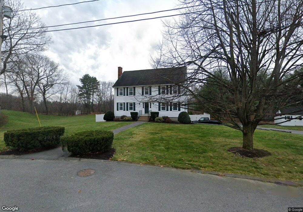
32 Wilshire Cir Dracut, MA 01826
Estimated Value: $725,661 - $840,000
4
Beds
3
Baths
2,120
Sq Ft
$371/Sq Ft
Est. Value
About This Home
This home is located at 32 Wilshire Cir, Dracut, MA 01826 and is currently estimated at $786,915, approximately $371 per square foot. 32 Wilshire Cir is a home located in Middlesex County with nearby schools including Joseph A. Campbell Elementary School, Richardson Middle School, and Dracut Senior High School.
Ownership History
Date
Name
Owned For
Owner Type
Purchase Details
Closed on
Nov 19, 2024
Sold by
Hayes Linda A and Hayes William L
Bought by
Wilshire Circle Rt and Hayes
Current Estimated Value
Create a Home Valuation Report for This Property
The Home Valuation Report is an in-depth analysis detailing your home's value as well as a comparison with similar homes in the area
Home Values in the Area
Average Home Value in this Area
Purchase History
| Date | Buyer | Sale Price | Title Company |
|---|---|---|---|
| Wilshire Circle Rt | -- | None Available | |
| Wilshire Circle Rt | -- | None Available |
Source: Public Records
Tax History Compared to Growth
Tax History
| Year | Tax Paid | Tax Assessment Tax Assessment Total Assessment is a certain percentage of the fair market value that is determined by local assessors to be the total taxable value of land and additions on the property. | Land | Improvement |
|---|---|---|---|---|
| 2025 | $6,665 | $658,600 | $251,600 | $407,000 |
| 2024 | $6,440 | $616,300 | $239,700 | $376,600 |
| 2023 | $6,251 | $539,800 | $208,500 | $331,300 |
| 2022 | $6,095 | $495,900 | $189,600 | $306,300 |
| 2021 | $6,024 | $463,000 | $172,200 | $290,800 |
| 2020 | $5,835 | $437,100 | $167,000 | $270,100 |
| 2019 | $5,588 | $406,400 | $159,000 | $247,400 |
| 2018 | $5,601 | $396,100 | $159,000 | $237,100 |
| 2017 | $5,564 | $396,100 | $159,000 | $237,100 |
| 2016 | $5,633 | $379,600 | $159,800 | $219,800 |
| 2015 | $5,443 | $364,600 | $159,800 | $204,800 |
| 2014 | $5,098 | $351,800 | $159,800 | $192,000 |
Source: Public Records
Map
Nearby Homes
- 38 Wilshire Cir
- 5 Elizabeth Dr
- 29 Wilshire Cir
- 11 Elizabeth Dr
- 39 Wilshire Cir
- 44 Wilshire Cir
- 4 Elizabeth Dr
- 17 Wilshire Cir
- 17 Elizabeth Dr
- 10 Elizabeth Dr
- 18 Wilshire Cir
- 16 Elizabeth Dr
- 49 Wilshire Cir
- 50 Wilshire Cir
- 7 Wilshire Cir
- 12 Wilshire Cir
- 23 Elizabeth Dr
- 16 Monte Rd
- 22 Elizabeth Dr
- 55 Wilshire Cir