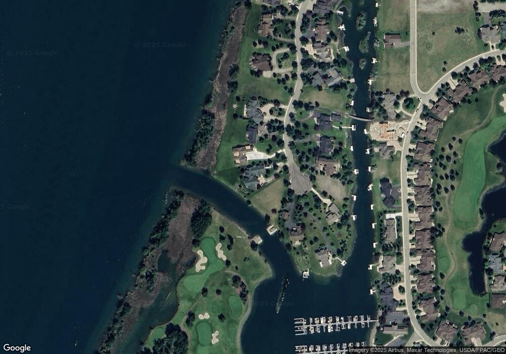
320 Canal St Bigfork, MT 59911
Estimated Value: $1,797,000 - $3,329,000
3
Beds
3
Baths
4,566
Sq Ft
$584/Sq Ft
Est. Value
About This Home
This home is located at 320 Canal St, Bigfork, MT 59911 and is currently estimated at $2,668,694, approximately $584 per square foot. 320 Canal St is a home with nearby schools including Bigfork Elementary School, Bigfork Middle School, and Bigfork High School.
Ownership History
Date
Name
Owned For
Owner Type
Purchase Details
Closed on
Jul 15, 2024
Sold by
Detwiler Jonathan Randall
Bought by
Detwiler Jonathan Randall and Detwiler Fern Louise
Current Estimated Value
Purchase Details
Closed on
Apr 15, 2021
Sold by
Detwiler J Brinton and Jonathan B Detwiler Living Rev
Bought by
Detwiler Jonathan Randall
Purchase Details
Closed on
Dec 29, 2009
Sold by
Detwiler Jonathan B
Bought by
The Jonathan B Detwiler Living Revocable
Create a Home Valuation Report for This Property
The Home Valuation Report is an in-depth analysis detailing your home's value as well as a comparison with similar homes in the area
Home Values in the Area
Average Home Value in this Area
Purchase History
| Date | Buyer | Sale Price | Title Company |
|---|---|---|---|
| Detwiler Jonathan Randall | -- | None Listed On Document | |
| Detwiler Jonathan Randall | -- | None Available | |
| The Jonathan B Detwiler Living Revocable | -- | None Available | |
| Detwiler Jonathan B | -- | None Available |
Source: Public Records
Tax History Compared to Growth
Tax History
| Year | Tax Paid | Tax Assessment Tax Assessment Total Assessment is a certain percentage of the fair market value that is determined by local assessors to be the total taxable value of land and additions on the property. | Land | Improvement |
|---|---|---|---|---|
| 2025 | $21,494 | $3,173,700 | $0 | $0 |
| 2024 | $10,602 | $1,899,600 | $0 | $0 |
| 2023 | $14,189 | $1,899,600 | $0 | $0 |
| 2022 | $13,051 | $1,691,200 | $0 | $0 |
| 2021 | $13,297 | $1,691,200 | $0 | $0 |
| 2020 | $12,844 | $1,614,300 | $0 | $0 |
| 2019 | $12,376 | $1,614,300 | $0 | $0 |
| 2018 | $3,178 | $398,566 | $0 | $0 |
| 2017 | $3,109 | $398,566 | $0 | $0 |
| 2016 | $1,845 | $239,192 | $0 | $0 |
| 2015 | $1,732 | $239,192 | $0 | $0 |
| 2014 | $3,391 | $281,965 | $0 | $0 |
Source: Public Records
Map
Nearby Homes
- 20 Marina Way
- NHN Eagle Bend Dr
- 213 Harbor Dr
- A 33 Eagle Bend Yacht Harbor 44'
- 2036 Marina Ct
- 68 Bay Harbor Dr
- 260 Eagle Bend Dr
- 266 Eagle Bend Dr
- 1001 Lake Pointe Dr
- 151 Bjork Dr
- 147 Bjork Dr
- 1114 Lake Pointe Dr
- 153 Fox Run Ct
- 30 Eagle Rock Dr
- 181 Fox Run Ct
- 161 Fox Run Ct
- 175 Aerie Place
- 145 Fox Run Ct
- 106 Golden Bear Dr
- 85 Golf Terrace
- 318 Canal St
- 316 Canal St
- 322 Canal St
- D-25 Boat Slip (35')
- A-1 Boat Slip (22')
- E-16 Boat Slip (28')
- E-12 Boat Slip (28')
- D-7 Boat Slip (35')
- C-10 Boat Slip (33')
- 314 Canal St
- 315 Canal St
- 317 Canal St
- 313 Canal St
- 324 Canal St
- 312 Canal St
- 319 Canal St
- 311 Canal St
- 321 Canal St
- 310 Canal St
- 333 Eagle Bend Dr
