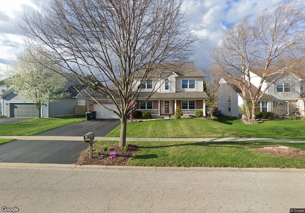
320 Century Dr Unit 1 Oswego, IL 60543
Northwest Oswego NeighborhoodEstimated Value: $424,000 - $467,000
4
Beds
3
Baths
2,390
Sq Ft
$187/Sq Ft
Est. Value
About This Home
This home is located at 320 Century Dr Unit 1, Oswego, IL 60543 and is currently estimated at $445,934, approximately $186 per square foot. 320 Century Dr Unit 1 is a home located in Kendall County with nearby schools including Fox Chase Elementary School, Traughber Junior High School, and Oswego High School.
Ownership History
Date
Name
Owned For
Owner Type
Purchase Details
Closed on
Jan 31, 2003
Sold by
Richard Smykal Inc
Bought by
Fey Thomas F and Fey Sipraphan
Current Estimated Value
Home Financials for this Owner
Home Financials are based on the most recent Mortgage that was taken out on this home.
Original Mortgage
$175,000
Outstanding Balance
$75,276
Interest Rate
6.01%
Mortgage Type
Purchase Money Mortgage
Estimated Equity
$370,658
Create a Home Valuation Report for This Property
The Home Valuation Report is an in-depth analysis detailing your home's value as well as a comparison with similar homes in the area
Home Values in the Area
Average Home Value in this Area
Purchase History
| Date | Buyer | Sale Price | Title Company |
|---|---|---|---|
| Fey Thomas F | $250,000 | Chicago Title Insurance Co |
Source: Public Records
Mortgage History
| Date | Status | Borrower | Loan Amount |
|---|---|---|---|
| Open | Fey Thomas F | $175,000 |
Source: Public Records
Tax History Compared to Growth
Tax History
| Year | Tax Paid | Tax Assessment Tax Assessment Total Assessment is a certain percentage of the fair market value that is determined by local assessors to be the total taxable value of land and additions on the property. | Land | Improvement |
|---|---|---|---|---|
| 2024 | $9,783 | $127,566 | $22,647 | $104,919 |
| 2023 | $8,811 | $112,891 | $20,042 | $92,849 |
| 2022 | $8,811 | $103,570 | $18,387 | $85,183 |
| 2021 | $8,757 | $99,587 | $17,680 | $81,907 |
| 2020 | $8,481 | $95,757 | $17,000 | $78,757 |
| 2019 | $8,024 | $89,588 | $17,000 | $72,588 |
| 2018 | $8,060 | $89,349 | $25,664 | $63,685 |
| 2017 | $7,788 | $81,972 | $23,545 | $58,427 |
| 2016 | $7,654 | $79,584 | $22,859 | $56,725 |
| 2015 | $7,536 | $75,079 | $21,565 | $53,514 |
| 2014 | -- | $70,829 | $20,344 | $50,485 |
| 2013 | -- | $71,544 | $20,549 | $50,995 |
Source: Public Records
Map
Nearby Homes
- 2100 Light Rd Unit 109
- 1721 State Route 31
- 2700 Light Rd Unit 205
- 173 Dolores St
- 102 Mary St
- 629 Manhattan Cir
- 7.43 Acres Vacant La State Route 31
- 409 Fawn Dr
- 466 Greenview Ln
- 11-13 W Anchor Rd
- 135 River Mist Dr Unit 2
- 5.43 B-3 Commercial State Route 31
- 156 River Mist Dr
- 403 Lake Ct
- 435 Fawn Dr
- Parcel 004 & 003 Illinois 25
- 505 Parkland Ct
- 23 Orchard Ave
- 238 Willowwood Dr
- 147 Eisenhower Dr
- 318 Century Dr
- 322 Century Dr Unit 1
- 131 Dolores St Unit 1
- 316 Century Dr Unit 1
- 129 Dolores St Unit 1
- 133 Dolores St
- 127 Dolores St
- 314 Century Dr
- 326 Century Dr
- 125 Dolores St
- 135 Dolores St
- 312 Century Dr Unit 1
- 328 Century Dr Unit 2
- 123 Dolores St
- 130 Dolores St
- 137 Dolores St
- 128 Dolores St
- 132 Dolores St
- 126 Dolores St
- 310 Century Dr Unit I